
Traces GPX en Écrins (page 2)
375 traces GPX en Écrins, avec distance, dénivelé et durée pour chaque trace. Filtrez par département, sport, distance, dénivelé et durée.
Toutes les traces GPX en Écrins

 © OpenStreetMap, SRTM · OpenTopoMap (CC-BY-SA)
Boucle du Pigeonnier dans le cirque du Gioberney
Écrins, La Chapelle-en-Valgaudémar (05) · BoucleCotation officielle selon Parc national des Écrins © OpenStreetMap, SRTM · OpenTopoMap (CC-BY-SA)
Boucle du Signal depuis Ventelon
Écrins, La Grave (05) · BoucleCotation officielle selon Parc national des Écrins © OpenStreetMap, SRTM · OpenTopoMap (CC-BY-SA)
Brèche Pacave départ téléphérique 2400
Écrins, La Grave (05) · Aller-retourCotation officielle selon Parc national des Écrins © OpenStreetMap, SRTM · OpenTopoMap (CC-BY-SA)
Cabane du Pré d'Antoni
Écrins, Réallon (05) · Aller-retourCotation officielle selon Parc national des Écrins © OpenStreetMap, SRTM · OpenTopoMap (CC-BY-SA)
Cascade de la Pisse
Écrins, Valjouffrey (38) · Aller-retourCotation officielle selon Parc national des Écrins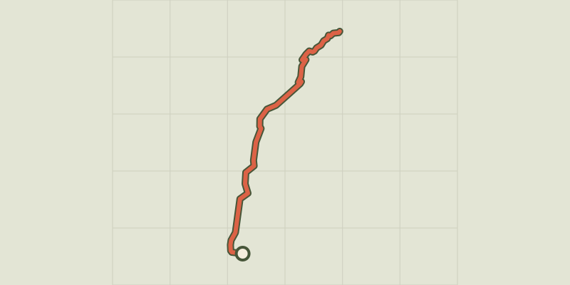 © OpenStreetMap, SRTM · OpenTopoMap (CC-BY-SA)
Chapelle Saint-Marcellin
Écrins, Réallon (05) · Aller-retourCotation officielle selon Parc national des Écrins
 © OpenStreetMap, SRTM · OpenTopoMap (CC-BY-SA)
Chemin de ceinture
Écrins, Crots (05) · BoucleCotation officielle selon Parc national des Écrins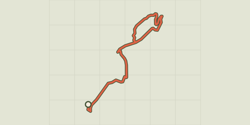 © OpenStreetMap, SRTM · OpenTopoMap (CC-BY-SA)
Chemin de la Durance
Écrins, Châteauroux-les-Alpes (05) · Aller-retourCotation officielle selon Parc national des Écrins
 © OpenStreetMap, SRTM · OpenTopoMap (CC-BY-SA)
Circuit de Saint Sauveur
Écrins, Embrun (05) · BoucleCotation officielle selon Parc national des Écrins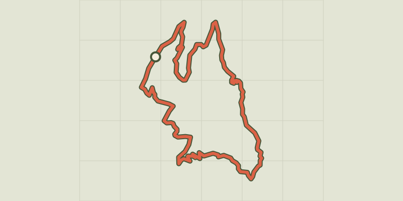 © OpenStreetMap, SRTM · OpenTopoMap (CC-BY-SA)
Clot Besson
Écrins, Crots (05) · BoucleCotation officielle selon Parc national des Écrins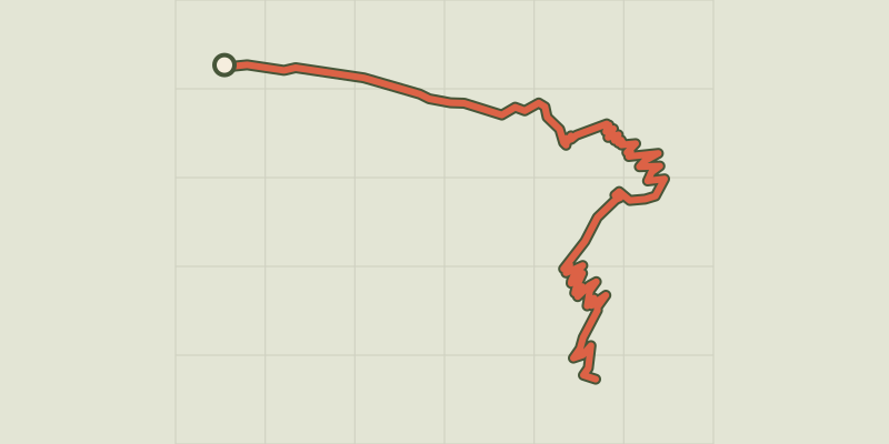 © OpenStreetMap, SRTM · OpenTopoMap (CC-BY-SA)
Col de Côte Belle depuis Valsenestre
Écrins, Valjouffrey (38) · Aller-retourCotation officielle selon Parc national des Écrins © OpenStreetMap, SRTM · OpenTopoMap (CC-BY-SA)
Col de Côte Belle par le Désert
Écrins, Valjouffrey (38) · Aller-retourCotation officielle selon Parc national des Écrins © OpenStreetMap, SRTM · OpenTopoMap (CC-BY-SA)
Col de Font Froide
Écrins, La Motte-en-Champsaur (05) · Aller-retourCotation officielle selon Parc national des Écrins © OpenStreetMap, SRTM · OpenTopoMap (CC-BY-SA)
Col de l'Aup Martin
Écrins, Vallouise-Pelvoux (05) · Aller-retourCotation officielle selon Parc national des Écrins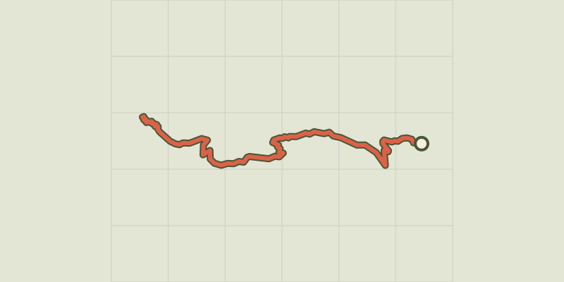 © OpenStreetMap, SRTM · OpenTopoMap (CC-BY-SA)
Col de la Coupa
Écrins, Réallon (05) · Aller-retourCotation officielle selon Parc national des Écrins © OpenStreetMap, SRTM · OpenTopoMap (CC-BY-SA)
Col de la Règue par le vallon de Chargès
Écrins, Réallon (05) · Aller-retourCotation officielle selon Parc national des Écrins
 © OpenStreetMap, SRTM · OpenTopoMap (CC-BY-SA)
Col de Pontis depuis Savines-le-Lac
Écrins, Savines-le-Lac (05) · TraverséeCotation officielle selon Parc national des Écrins © OpenStreetMap, SRTM · OpenTopoMap (CC-BY-SA)
Col de Reyssas
Écrins, Réallon (05) · Aller-retourCotation officielle selon Parc national des Écrins © OpenStreetMap, SRTM · OpenTopoMap (CC-BY-SA)
Combe Oursière
Écrins, Valjouffrey (38) · Aller-retourCotation officielle selon Parc national des Écrins © OpenStreetMap, SRTM · OpenTopoMap (CC-BY-SA)
Crête du Lauzet
Écrins, Crots (05) · Aller-retourCotation officielle selon Parc national des Écrins © OpenStreetMap, SRTM · OpenTopoMap (CC-BY-SA)
Croix Saint-Philippe
Écrins, Ancelle (05) · Aller-retourCotation officielle selon Parc national des Écrins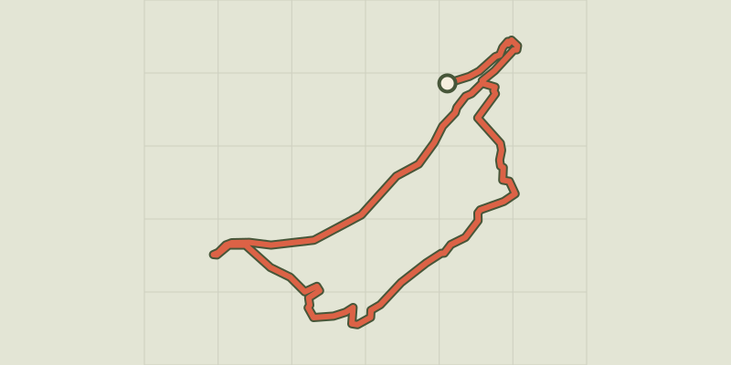 © OpenStreetMap, SRTM · OpenTopoMap (CC-BY-SA)
Crots Beach
Écrins, Embrun (05) · BoucleCotation officielle selon Parc national des Écrins © OpenStreetMap, SRTM · OpenTopoMap (CC-BY-SA)
D’une rive à l’autre de la Durance
Écrins, Embrun (05) · BoucleCotation officielle selon Parc national des Écrins © OpenStreetMap, SRTM · OpenTopoMap (CC-BY-SA)
De Chabournéou à Vallonpierre par le sentier du Ministre
Écrins, La Chapelle-en-Valgaudémar (05) · BoucleCotation officielle selon Parc national des Écrins