
Traces GPX de randonnée en Écrins (page 5)
247 traces GPX en Écrins, avec distance, dénivelé et durée pour chaque trace. Filtrez par département, sport, distance, dénivelé et durée.
Toutes les traces GPX en Écrins

 © OpenStreetMap, SRTM · OpenTopoMap (CC-BY-SA)
Le cirque d’Arsine par le sentier des Crevasses
Écrins, Villar-d'Arêne (05) · Aller-retourCotation officielle selon Parc national des Écrins © OpenStreetMap, SRTM · OpenTopoMap (CC-BY-SA)
Le col de Freissinières
Écrins, Freissinières (05) · Aller-retourCotation officielle selon Parc national des Écrins © OpenStreetMap, SRTM · OpenTopoMap (CC-BY-SA)
Le col de la Muzelle
Écrins, Valjouffrey (38) · Aller-retourCotation officielle selon Parc national des Écrins © OpenStreetMap, SRTM · OpenTopoMap (CC-BY-SA)
Le col de Laurichard
Écrins, Villar-d'Arêne (05) · Aller-retourCotation officielle selon Parc national des Écrins © OpenStreetMap, SRTM · OpenTopoMap (CC-BY-SA)
Le col de Vallonpierre
Écrins, La Chapelle-en-Valgaudémar (05) · Aller-retourCotation officielle selon Parc national des Écrins © OpenStreetMap, SRTM · OpenTopoMap (CC-BY-SA)
Le col des Terres Blanches depuis Dormillouse
Écrins, Freissinières (05) · Aller-retourCotation officielle selon Parc national des Écrins © OpenStreetMap, SRTM · OpenTopoMap (CC-BY-SA)
Le col des Terres Blanches depuis Prapic
Écrins, Orcières (05) · Aller-retourCotation officielle selon Parc national des Écrins © OpenStreetMap, SRTM · OpenTopoMap (CC-BY-SA)
Le col des Tourettes
Écrins, Châteauroux-les-Alpes (05) · Aller-retourCotation officielle selon Parc national des Écrins © OpenStreetMap, SRTM · OpenTopoMap (CC-BY-SA)
Le col du cheval de bois
Écrins, Champoléon (05) · BoucleCotation officielle selon Parc national des Écrins © OpenStreetMap, SRTM · OpenTopoMap (CC-BY-SA)
Le Cuchon
Écrins, Saint-Léger-les-Mélèzes (05) · Aller-retourCotation officielle selon Parc national des Écrins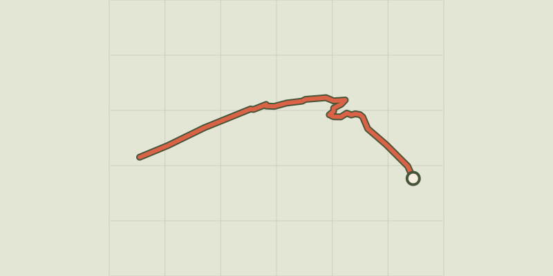 © OpenStreetMap, SRTM · OpenTopoMap (CC-BY-SA)
Le glacier Noir
Écrins, Vallouise-Pelvoux (05) · Aller-retourCotation officielle selon Parc national des Écrins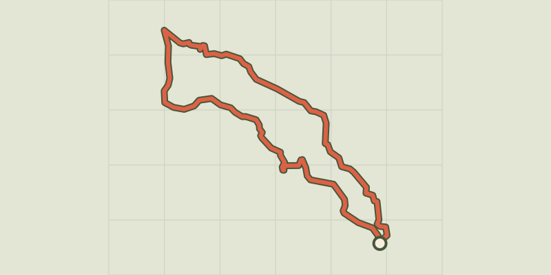 © OpenStreetMap, SRTM · OpenTopoMap (CC-BY-SA)
Le hameau de Vaucluse
Écrins, Réallon (05) · BoucleCotation officielle selon Parc national des Écrins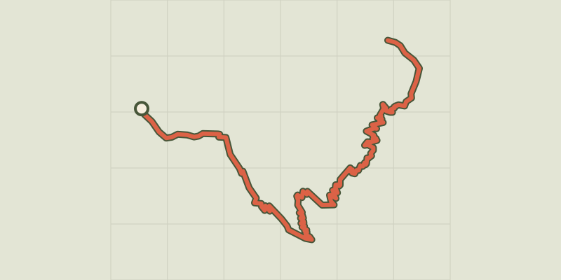 © OpenStreetMap, SRTM · OpenTopoMap (CC-BY-SA)
Le jas des Agneaux par la Combe des Roberts
Écrins, Entraigues (38) · Aller-retourCotation officielle selon Parc national des Écrins © OpenStreetMap, SRTM · OpenTopoMap (CC-BY-SA)
Le jas des Agneaux par le Pissard des Aiguilles
Écrins, Chantepérier (38) · Aller-retourCotation officielle selon Parc national des Écrins © OpenStreetMap, SRTM · OpenTopoMap (CC-BY-SA)
Le lac de Combeynot
Écrins, Le Monêtier-les-Bains (05) · Aller-retourCotation officielle selon Parc national des Écrins © OpenStreetMap, SRTM · OpenTopoMap (CC-BY-SA)
Le lac de l'Eychauda
Écrins, Vallouise-Pelvoux (05) · Aller-retourCotation officielle selon Parc national des Écrins © OpenStreetMap, SRTM · OpenTopoMap (CC-BY-SA)
Le lac de la Douche
Écrins, Le Monêtier-les-Bains (05) · Aller-retourCotation officielle selon Parc national des Écrins © OpenStreetMap, SRTM · OpenTopoMap (CC-BY-SA)
Le lac de la Muzelle
Écrins, Les Deux Alpes (38) · Aller-retourCotation officielle selon Parc national des Écrins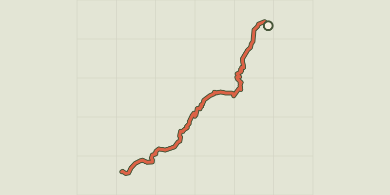 © OpenStreetMap, SRTM · OpenTopoMap (CC-BY-SA)
Le lac de Plan Vianney et la brèche du Périer
Écrins, Les Deux Alpes (38) · Aller-retourCotation officielle selon Parc national des Écrins © OpenStreetMap, SRTM · OpenTopoMap (CC-BY-SA)
Le Lac de Puy Aillaud
Écrins, Vallouise-Pelvoux (05) · Aller-retourCotation officielle selon Parc national des Écrins © OpenStreetMap, SRTM · OpenTopoMap (CC-BY-SA)
Le lac de Puy Aillaud (depuis le hameau)
Écrins, Vallouise-Pelvoux (05) · Aller-retourCotation officielle selon Parc national des Écrins © OpenStreetMap, SRTM · OpenTopoMap (CC-BY-SA)
Le lac de Vallonpierre
Écrins, La Chapelle-en-Valgaudémar (05) · Aller-retourCotation officielle selon Parc national des Écrins © OpenStreetMap, SRTM · OpenTopoMap (CC-BY-SA)
Le lac des Fétoules et la Lavey
Écrins, Saint-Christophe-en-Oisans (38) · BoucleCotation officielle selon Parc national des Écrins © OpenStreetMap, SRTM · OpenTopoMap (CC-BY-SA)
Le lac des Pisses
Écrins, Orcières (05) · Aller-retourCotation officielle selon Parc national des Écrins