
Traces GPX de randonnée en Écrins (page 7)
247 traces GPX en Écrins, avec distance, dénivelé et durée pour chaque trace. Filtrez par département, sport, distance, dénivelé et durée.
Toutes les traces GPX en Écrins

 © OpenStreetMap, SRTM · OpenTopoMap (CC-BY-SA)
Le refuge du Carrelet
Écrins, Saint-Christophe-en-Oisans (38) · Aller-retourCotation officielle selon Parc national des Écrins © OpenStreetMap, SRTM · OpenTopoMap (CC-BY-SA)
Le refuge du glacier Blanc
Écrins, Vallouise-Pelvoux (05) · Aller-retourCotation officielle selon Parc national des Écrins © OpenStreetMap, SRTM · OpenTopoMap (CC-BY-SA)
Le refuge du Pelvoux
Écrins, Vallouise-Pelvoux (05) · Aller-retourCotation officielle selon Parc national des Écrins © OpenStreetMap, SRTM · OpenTopoMap (CC-BY-SA)
Le refuge du Sélé
Écrins, Vallouise-Pelvoux (05) · Aller-retourCotation officielle selon Parc national des Écrins © OpenStreetMap, SRTM · OpenTopoMap (CC-BY-SA)
Le refuge du Soreiller
Écrins, Saint-Christophe-en-Oisans (38) · Aller-retourCotation officielle selon Parc national des Écrins © OpenStreetMap, SRTM · OpenTopoMap (CC-BY-SA)
Le refuge et le lac du Pavé
Écrins, Villar-d'Arêne (05) · Aller-retourCotation officielle selon Parc national des Écrins © OpenStreetMap, SRTM · OpenTopoMap (CC-BY-SA)
Le refuge Évariste Chancel depuis La Grave
Écrins, La Grave (05) · Aller-retourCotation officielle selon Parc national des Écrins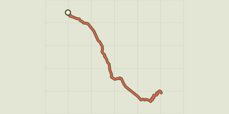 © OpenStreetMap, SRTM · OpenTopoMap (CC-BY-SA)
Le refuge Temple Ecrins
Écrins, Saint-Christophe-en-Oisans (38) · Aller-retourCotation officielle selon Parc national des Écrins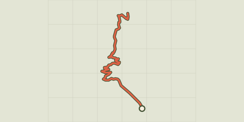 © OpenStreetMap, SRTM · OpenTopoMap (CC-BY-SA)
Le refuge Tuckett
Écrins, Vallouise-Pelvoux (05) · Aller-retourCotation officielle selon Parc national des Écrins © OpenStreetMap, SRTM · OpenTopoMap (CC-BY-SA)
Le Saut du Laire
Écrins, Orcières (05) · Aller-retourCotation officielle selon Parc national des Écrins © OpenStreetMap, SRTM · OpenTopoMap (CC-BY-SA)
Le Saut du Laire par le Basset
Écrins, Orcières (05) · BoucleCotation officielle selon Parc national des Écrins © OpenStreetMap, SRTM · OpenTopoMap (CC-BY-SA)
Le sentier des canaux
Écrins, Puy-Saint-Vincent (05) · BoucleCotation officielle selon Parc national des Écrins © OpenStreetMap, SRTM · OpenTopoMap (CC-BY-SA)
Le sentier des lutins
Écrins, Vallouise-Pelvoux (05) · BoucleCotation officielle selon Parc national des Écrins © OpenStreetMap, SRTM · OpenTopoMap (CC-BY-SA)
Le Sentier des mineurs
Écrins, L'Argentière-la-Bessée (05) · BoucleCotation officielle selon Parc national des Écrins © OpenStreetMap, SRTM · OpenTopoMap (CC-BY-SA)
Le sentier des mules
Écrins, La Grave (05) · BoucleCotation officielle selon Parc national des Écrins © OpenStreetMap, SRTM · OpenTopoMap (CC-BY-SA)
Le Sentier du Patrimoine de Puy Saint Vincent
Écrins, Puy-Saint-Vincent (05) · Aller-retourCotation officielle selon Parc national des Écrins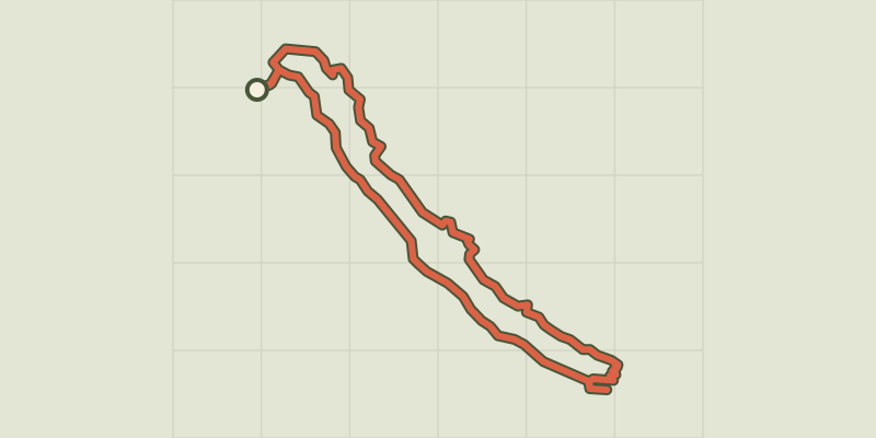 © OpenStreetMap, SRTM · OpenTopoMap (CC-BY-SA)
Le sentier du Roy
Écrins, La Motte-en-Champsaur (05) · BoucleCotation officielle selon Parc national des Écrins © OpenStreetMap, SRTM · OpenTopoMap (CC-BY-SA)
Le Serre du Mouton
Écrins, Réallon (05) · Aller-retourCotation officielle selon Parc national des Écrins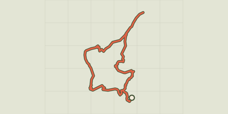 © OpenStreetMap, SRTM · OpenTopoMap (CC-BY-SA)
Le Signal de La Grave
Écrins, La Grave (05) · BoucleCotation officielle selon Parc national des Écrins © OpenStreetMap, SRTM · OpenTopoMap (CC-BY-SA)
Le Tombeau du poète
Écrins, Orcières (05) · Aller-retourCotation officielle selon Parc national des Écrins © OpenStreetMap, SRTM · OpenTopoMap (CC-BY-SA)
Le tour des hameaux de la Grave
Écrins, La Grave (05) · BoucleCotation officielle selon Parc national des Écrins © OpenStreetMap, SRTM · OpenTopoMap (CC-BY-SA)
Le tour du plan d'eau
Écrins, Embrun (05) · BoucleCotation officielle selon Parc national des Écrins © OpenStreetMap, SRTM · OpenTopoMap (CC-BY-SA)
Le vallon de la Buffe
Écrins, La Grave (05) · BoucleCotation officielle selon Parc national des Écrins © OpenStreetMap, SRTM · OpenTopoMap (CC-BY-SA)
Le vallon de la Chalp
Écrins, Valjouffrey (38) · Aller-retourCotation officielle selon Parc national des Écrins