
Traces GPX en Provence-Alpes-Côte d'Azur (page 19)
1 053 traces GPX en Provence-Alpes-Côte d'Azur, avec distance, dénivelé et durée pour chaque trace. Filtrez par département, sport, distance, dénivelé et durée.
Toutes les traces GPX en Provence-Alpes-Côte d'Azur

 © OpenStreetMap, SRTM · OpenTopoMap (CC-BY-SA)
La zone humide du Liou
Écrins, Baratier (05) · Aller-retourCotation officielle selon Parc national des Écrins © OpenStreetMap, SRTM · OpenTopoMap (CC-BY-SA)
Lac brun
Écrins, Réallon (05) · Aller-retourCotation officielle selon Parc national des Écrins © OpenStreetMap, SRTM · OpenTopoMap (CC-BY-SA)
Lac de Cristol
Provence-Alpes-Côte d'Azur, Névache (05) · Aller-retourCotation officielle selon Parc national des Écrins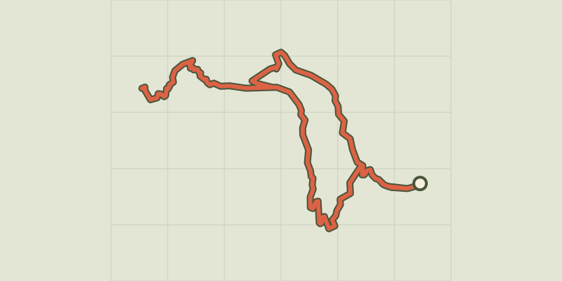 © OpenStreetMap, SRTM · OpenTopoMap (CC-BY-SA)
Lac de l'Hivernet
Écrins, Embrun (05) · BoucleCotation officielle selon Parc national des Écrins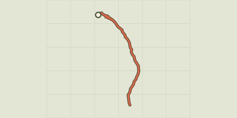 © OpenStreetMap, SRTM · OpenTopoMap (CC-BY-SA)
Lac de l'Orceyrette depuis le Centre Montagne
Provence-Alpes-Côte d'Azur, Villar-Saint-Pancrace (05) · Aller-retourCotation officielle selon Parc national des Écrins © OpenStreetMap, SRTM · OpenTopoMap (CC-BY-SA)
Lac de l’Oule
Provence-Alpes-Côte d'Azur, Saint-Chaffrey (05) · Aller-retourCotation officielle selon Parc national des Écrins © OpenStreetMap, SRTM · OpenTopoMap (CC-BY-SA)
Lac de la Clarée, Lac Rond et Lac du Grand Ban
Provence-Alpes-Côte d'Azur, Névache (05) · Aller-retourCotation officielle selon Parc national des Écrins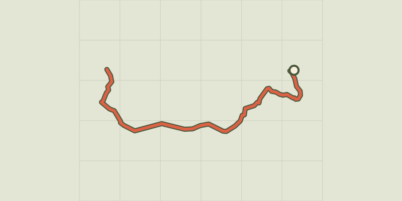 © OpenStreetMap, SRTM · OpenTopoMap (CC-BY-SA)
Lac de la Mine et anciennes mines du Chardonnet
Provence-Alpes-Côte d'Azur, Névache (05) · Aller-retourCotation officielle selon Parc national des Écrins © OpenStreetMap, SRTM · OpenTopoMap (CC-BY-SA)
Lac de Saint-Apollinaire
Écrins, Réallon (05) · BoucleCotation officielle selon Parc national des Écrins
 © OpenStreetMap, SRTM · OpenTopoMap (CC-BY-SA)
Lac de Saint-Apollinaire
Écrins, Réallon (05) · BoucleCotation officielle selon Parc national des Écrins © OpenStreetMap, SRTM · OpenTopoMap (CC-BY-SA)
Lac de Siguret
Provence-Alpes-Côte d'Azur, Saint-André-d'Embrun (05) · BoucleCotation officielle selon Parc national des Écrins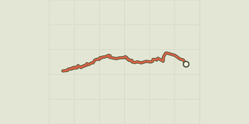 © OpenStreetMap, SRTM · OpenTopoMap (CC-BY-SA)
Lac des Beraudes
Provence-Alpes-Côte d'Azur, Névache (05) · Aller-retourCotation officielle selon Parc national des Écrins © OpenStreetMap, SRTM · OpenTopoMap (CC-BY-SA)
Lac des Chiens
Provence-Alpes-Côte d'Azur, Cervières (05) · Aller-retourCotation officielle selon Parc national des Écrins © OpenStreetMap, SRTM · OpenTopoMap (CC-BY-SA)
Lac des Sarailles
Provence-Alpes-Côte d'Azur, Cervières (05) · BoucleCotation officielle selon Parc national des Écrins © OpenStreetMap, SRTM · OpenTopoMap (CC-BY-SA)
Lac du Crachet
Provence-Alpes-Côte d'Azur, Crévoux (05) · Aller-retourCotation officielle selon Parc national des Écrins © OpenStreetMap, SRTM · OpenTopoMap (CC-BY-SA)
Lac du Goléon depuis les Hières
Écrins, La Grave (05) · Aller-retourCotation officielle selon Parc national des Écrins © OpenStreetMap, SRTM · OpenTopoMap (CC-BY-SA)
Lac du Lauzerot
Écrins, Crots (05) · BoucleCotation officielle selon Parc national des Écrins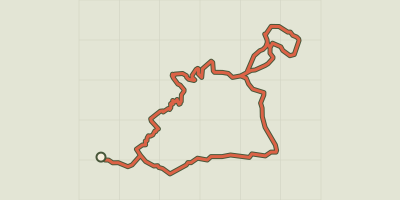 © OpenStreetMap, SRTM · OpenTopoMap (CC-BY-SA)
Lac du Pontet
Écrins, Villar-d'Arêne (05) · BoucleCotation officielle selon Parc national des Écrins © OpenStreetMap, SRTM · OpenTopoMap (CC-BY-SA)
Lac Gignoux
Provence-Alpes-Côte d'Azur, Cervières (05) · Aller-retourCotation officielle selon Parc national des Écrins © OpenStreetMap, SRTM · OpenTopoMap (CC-BY-SA)
Lac Laramon et Lac du Serpent
Provence-Alpes-Côte d'Azur, Névache (05) · Aller-retourCotation officielle selon Parc national des Écrins © OpenStreetMap, SRTM · OpenTopoMap (CC-BY-SA)
Lac Lavoir
Provence-Alpes-Côte d'Azur, Névache (05) · Aller-retourCotation officielle selon Parc national des Écrins © OpenStreetMap, SRTM · OpenTopoMap (CC-BY-SA)
Lac Long des Muandes
Provence-Alpes-Côte d'Azur, Névache (05) · Aller-retourCotation officielle selon Parc national des Écrins © OpenStreetMap, SRTM · OpenTopoMap (CC-BY-SA)
Lac noir du Chenaillet
Provence-Alpes-Côte d'Azur, Cervières (05) · Aller-retourCotation officielle selon Parc national des Écrins © OpenStreetMap, SRTM · OpenTopoMap (CC-BY-SA)
Lac Noir et lac Lérié depuis le Chazelet
Écrins, La Grave (05) · BoucleCotation officielle selon Parc national des Écrins