
Traces GPX de randonnée en Provence-Alpes-Côte d'Azur (page 18)
743 traces GPX en Provence-Alpes-Côte d'Azur, avec distance, dénivelé et durée pour chaque trace. Filtrez par département, sport, distance, dénivelé et durée.
Toutes les traces GPX en Provence-Alpes-Côte d'Azur

 © OpenStreetMap, SRTM · OpenTopoMap (CC-BY-SA)
Le refuge Adèle Planchard
Écrins, Villar-d'Arêne (05) · Aller-retourCotation officielle selon Parc national des Écrins © OpenStreetMap, SRTM · OpenTopoMap (CC-BY-SA)
Le refuge des Bans
Écrins, Vallouise-Pelvoux (05) · Aller-retourCotation officielle selon Parc national des Écrins © OpenStreetMap, SRTM · OpenTopoMap (CC-BY-SA)
Le refuge du glacier Blanc
Écrins, Vallouise-Pelvoux (05) · Aller-retourCotation officielle selon Parc national des Écrins © OpenStreetMap, SRTM · OpenTopoMap (CC-BY-SA)
Le refuge du Pelvoux
Écrins, Vallouise-Pelvoux (05) · Aller-retourCotation officielle selon Parc national des Écrins © OpenStreetMap, SRTM · OpenTopoMap (CC-BY-SA)
Le refuge du Pré de la Chaumette en aller-retour
Provence-Alpes-Côte d'Azur, Champoléon (05) · BoucleCotation officielle selon Parc national des Écrins © OpenStreetMap, SRTM · OpenTopoMap (CC-BY-SA)
Le refuge du Sélé
Écrins, Vallouise-Pelvoux (05) · Aller-retourCotation officielle selon Parc national des Écrins © OpenStreetMap, SRTM · OpenTopoMap (CC-BY-SA)
Le refuge du Tourond
Provence-Alpes-Côte d'Azur, Champoléon (05) · Aller-retourCotation officielle selon Parc national des Écrins © OpenStreetMap, SRTM · OpenTopoMap (CC-BY-SA)
Le refuge et le lac du Pavé
Écrins, Villar-d'Arêne (05) · Aller-retourCotation officielle selon Parc national des Écrins © OpenStreetMap, SRTM · OpenTopoMap (CC-BY-SA)
Le refuge Évariste Chancel depuis La Grave
Écrins, La Grave (05) · Aller-retourCotation officielle selon Parc national des Écrins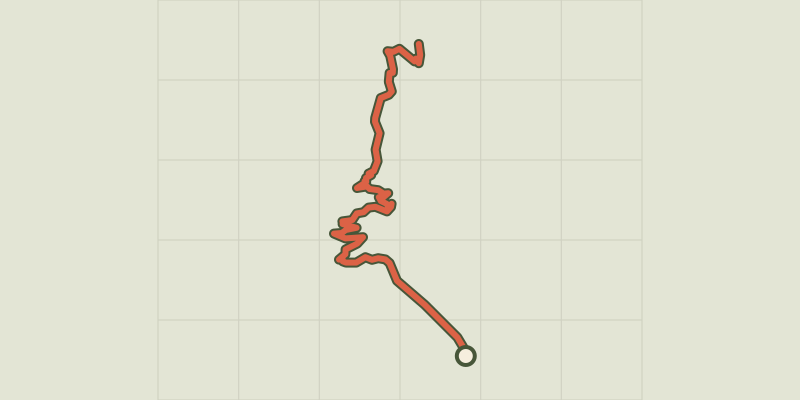 © OpenStreetMap, SRTM · OpenTopoMap (CC-BY-SA)
Le refuge Tuckett
Écrins, Vallouise-Pelvoux (05) · Aller-retourCotation officielle selon Parc national des Écrins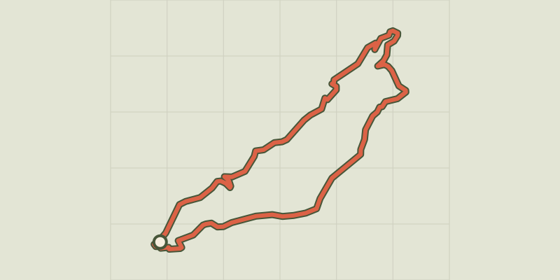 © OpenStreetMap, SRTM · OpenTopoMap (CC-BY-SA)
Le Rocher de l'Ombre
Provence-Alpes-Côte d'Azur, Briançon (05) · BoucleCotation officielle selon Parc national des Écrins © OpenStreetMap, SRTM · OpenTopoMap (CC-BY-SA)
Le Rocher de Roure par le Torrent de Sachas
Provence-Alpes-Côte d'Azur, Puy-Saint-André (05) · BoucleCotation officielle selon Parc national des Écrins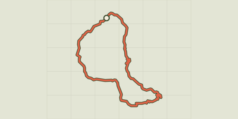 © OpenStreetMap, SRTM · OpenTopoMap (CC-BY-SA)
Le Saix - Boucle de Clausonne
Provence-Alpes-Côte d'Azur, Le Saix (05) · BoucleCotation officielle selon Parcs naturels régionaux de Provence-Alpes-Côte d'Azur © OpenStreetMap, SRTM · OpenTopoMap (CC-BY-SA)
Le Saut du Laire
Écrins, Orcières (05) · Aller-retourCotation officielle selon Parc national des Écrins © OpenStreetMap, SRTM · OpenTopoMap (CC-BY-SA)
Le Saut du Laire par le Basset
Écrins, Orcières (05) · BoucleCotation officielle selon Parc national des Écrins © OpenStreetMap, SRTM · OpenTopoMap (CC-BY-SA)
Le sentier de Champaussel
Provence-Alpes-Côte d'Azur, La Roche-de-Rame (05) · BoucleCotation officielle selon Parc national des Écrins © OpenStreetMap, SRTM · OpenTopoMap (CC-BY-SA)
Le sentier des canaux
Écrins, Puy-Saint-Vincent (05) · BoucleCotation officielle selon Parc national des Écrins © OpenStreetMap, SRTM · OpenTopoMap (CC-BY-SA)
Le sentier des lutins
Écrins, Vallouise-Pelvoux (05) · BoucleCotation officielle selon Parc national des Écrins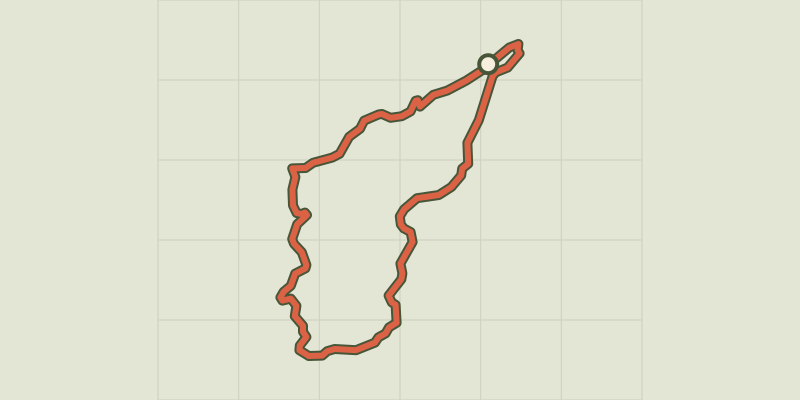 © OpenStreetMap, SRTM · OpenTopoMap (CC-BY-SA)
Le sentier des Mineurs
Provence-Alpes-Côte d'Azur, Villar-Saint-Pancrace (05) · BoucleCotation officielle selon Parc national des Écrins © OpenStreetMap, SRTM · OpenTopoMap (CC-BY-SA)
Le Sentier des mineurs
Écrins, L'Argentière-la-Bessée (05) · BoucleCotation officielle selon Parc national des Écrins © OpenStreetMap, SRTM · OpenTopoMap (CC-BY-SA)
Le sentier des mules
Écrins, La Grave (05) · BoucleCotation officielle selon Parc national des Écrins © OpenStreetMap, SRTM · OpenTopoMap (CC-BY-SA)
Le sentier Dominique-Villars
Provence-Alpes-Côte d'Azur, Le Noyer (05) · BoucleCotation officielle selon Parc national des Écrins © OpenStreetMap, SRTM · OpenTopoMap (CC-BY-SA)
Le Sentier du Patrimoine de Puy Saint Vincent
Écrins, Puy-Saint-Vincent (05) · Aller-retourCotation officielle selon Parc national des Écrins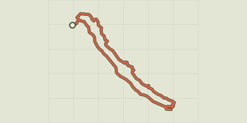 © OpenStreetMap, SRTM · OpenTopoMap (CC-BY-SA)
Le sentier du Roy
Écrins, La Motte-en-Champsaur (05) · BoucleCotation officielle selon Parc national des Écrins