
Traces GPX en France (page 171)
7 023 traces GPX en France, avec distance, dénivelé et durée pour chaque trace. Choisissez une région sur la carte, puis filtrez par département, sport, distance, dénivelé et durée.
Toutes les traces GPX en France
Discipline : Toutes les disciplines

 Plan IGN © IGN 2026La Vouivre à la traceBourgogne-Franche-Comté, Chenecey-Buillon (25) · BoucleCotation officielle selon Département du Doubs
 Plan IGN © IGN 2026La zone humide du LiouÉcrins, Baratier (05) · Aller-retourCotation officielle selon Parc national des Écrins
 Plan IGN © IGN 2026 · tracé © OpenStreetMapLabastide-Castel-Amouroux à ciel ouvert - 17.7 kmNouvelle-Aquitaine, Labastide-Castel-Amouroux (47) · Boucle
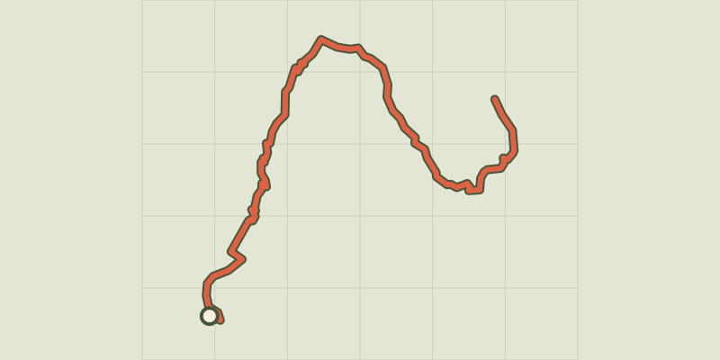 Plan IGN © IGN 2026Lac brunÉcrins, Réallon (05) · Aller-retourCotation officielle selon Parc national des Écrins
 Plan IGN © IGN 2026Lac ChambonAuvergne, Chambon-sur-Lac (63) · Boucle
 Plan IGN © IGN 2026Lac de BouveransBourgogne-Franche-Comté, Bouverans (25) · Aller-retourCotation officielle selon Département du Doubs
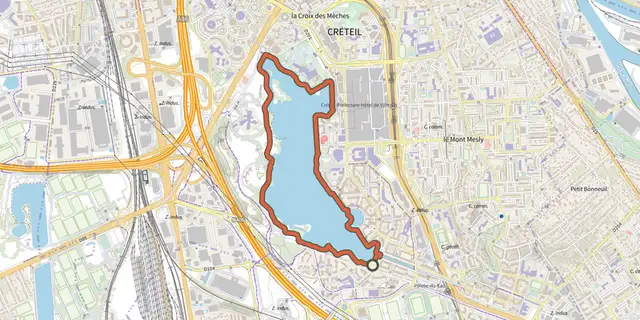 Plan IGN © IGN 2026 · tracé © OpenStreetMapLac de CréteilÎle-de-France, Créteil (94) · Boucle
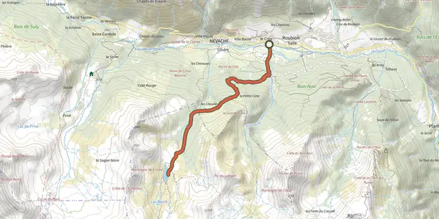 Plan IGN © IGN 2026Lac de CristolProvence-Alpes-Côte d'Azur, Névache (05) · Aller-retourCotation officielle selon Parc national des Écrins
 Plan IGN © IGN 2026Lac de l'HivernetÉcrins, Embrun (05) · BoucleCotation officielle selon Parc national des Écrins
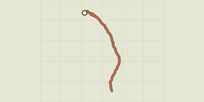 Plan IGN © IGN 2026Lac de l'Orceyrette depuis le Centre MontagneProvence-Alpes-Côte d'Azur, Villar-Saint-Pancrace (05) · Aller-retourCotation officielle selon Parc national des Écrins
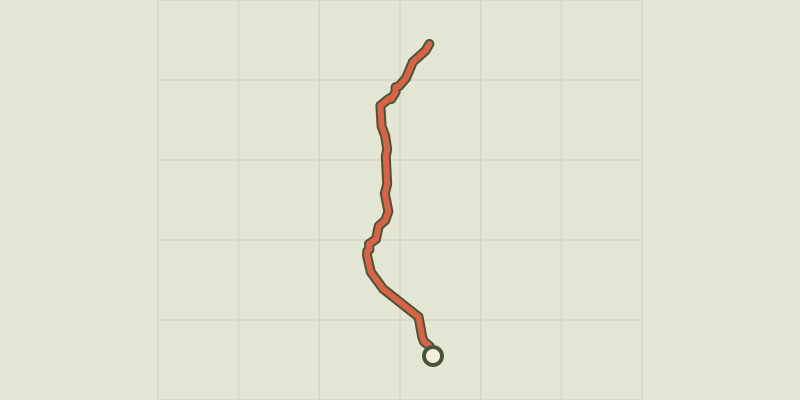 Plan IGN © IGN 2026Lac de l’OuleProvence-Alpes-Côte d'Azur, Saint-Chaffrey (05) · Aller-retourCotation officielle selon Parc national des Écrins
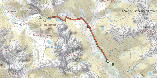 Plan IGN © IGN 2026Lac de la Clarée, Lac Rond et Lac du Grand BanProvence-Alpes-Côte d'Azur, Névache (05) · Aller-retourCotation officielle selon Parc national des Écrins
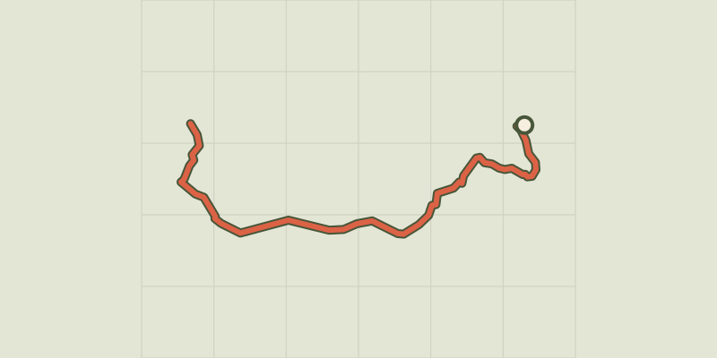 Plan IGN © IGN 2026Lac de la Mine et anciennes mines du ChardonnetProvence-Alpes-Côte d'Azur, Névache (05) · Aller-retourCotation officielle selon Parc national des Écrins
 Plan IGN © IGN 2026Lac de RemorayHaut-Jura, Labergement-Sainte-Marie (25) · BoucleCotation officielle selon Département du Doubs
 Plan IGN © IGN 2026Lac de Remoray et FourperetHaut-Jura, Longevilles-Mont-d'Or (25) · BoucleCotation officielle selon Département du Doubs
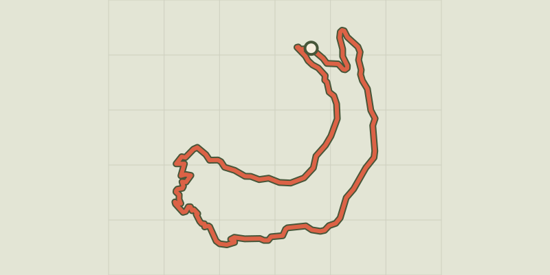 Plan IGN © IGN 2026Lac de Saint-ApollinaireÉcrins, Réallon (05) · BoucleCotation officielle selon Parc national des Écrins
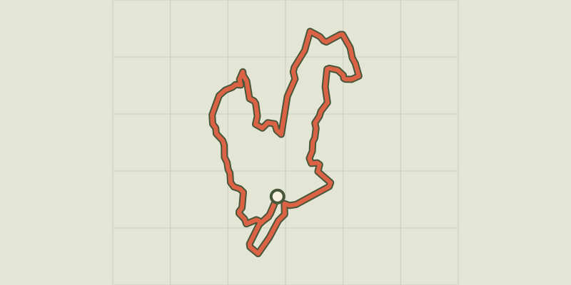 Plan IGN © IGN 2026Lac de SiguretProvence-Alpes-Côte d'Azur, Saint-André-d'Embrun (05) · BoucleCotation officielle selon Parc national des Écrins
 Plan IGN © IGN 2026Lac de St AgnanMorvan, Saint-Agnan-en-Morvan (58) · Boucle
 Plan IGN © IGN 2026Lac de VillefortCévennes, Villefort (48) · BoucleCotation officielle selon Parc national des Cévennes
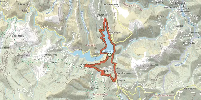
 Plan IGN © IGN 2026Lac de Villefort - Trail n° 1Cévennes, Villefort (48) · BoucleCotation officielle selon Parc national des Cévennes
 Plan IGN © IGN 2026Lac de VioreauPays de la Loire, Joué-sur-Erdre (44) · BoucleCotation officielle selon Département de Loire-Atlantique
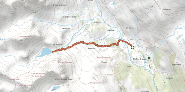 Plan IGN © IGN 2026Lac des BeraudesProvence-Alpes-Côte d'Azur, Névache (05) · Aller-retourCotation officielle selon Parc national des Écrins
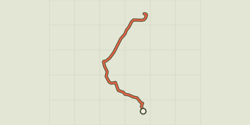 Plan IGN © IGN 2026Lac des ChiensProvence-Alpes-Côte d'Azur, Cervières (05) · Aller-retourCotation officielle selon Parc national des Écrins
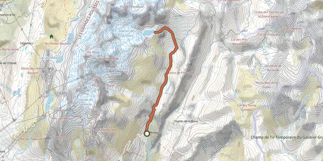 Plan IGN © IGN 2026Lac des QuirliesÉcrins, Clavans-en-Haut-Oisans (38) · Aller-retourCotation officielle selon Parc national des Écrins