
Traces GPX en France (page 109)
7 023 traces GPX en France, avec distance, dénivelé et durée pour chaque trace. Choisissez une région sur la carte, puis filtrez par département, sport, distance, dénivelé et durée.
Toutes les traces GPX en France
Discipline : Toutes les disciplines

 Plan IGN © IGN 2026 · tracé © OpenStreetMapCircuit panoramiqueVosges, Ventron (88) · Boucle
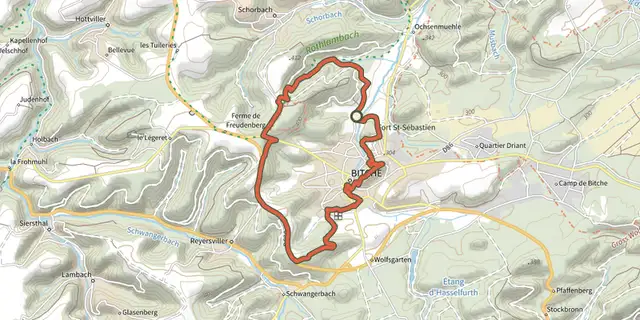 Plan IGN © IGN 2026 · tracé © OpenStreetMapCircuit panoramique autour de BitcheVosges, Bitche (57) · Boucle
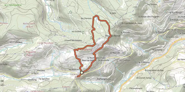 Plan IGN © IGN 2026 · tracé © OpenStreetMapCircuit panoramique du RondfaingVosges, Cornimont (88) · Boucle
 Plan IGN © IGN 2026 · tracé © OpenStreetMapCircuit Panoramique SittlerVosges, Soultz-Haut-Rhin (68) · Boucle
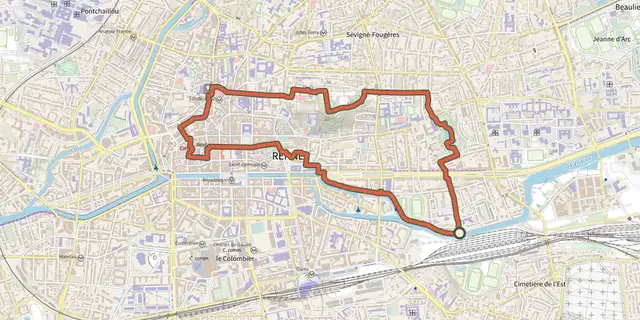 Plan IGN © IGN 2026Circuit Parcs et VilaineBretagne, Rennes (35) · Boucle
 Plan IGN © IGN 2026Circuit PassayPays de la Loire, La Chevrolière (44) · BoucleCotation officielle selon Département de Loire-Atlantique
 Plan IGN © IGN 2026Circuit PasserellePays de la Loire, Saint-Colomban (44) · BoucleCotation officielle selon Département de Loire-Atlantique
 Plan IGN © IGN 2026 · tracé © OpenStreetMapCircuit pédestre du Yeun ElezArmorique, Botmeur (29) · Boucle
 Plan IGN © IGN 2026Circuit Penn StivienBretagne, Bulat-Pestivien (22) · Boucle
 Plan IGN © IGN 2026 · tracé © OpenStreetMapcircuit Pierres et NatureBretagne, Mellé (35) · Boucle
 Plan IGN © IGN 2026 · tracé © OpenStreetMapCircuit Plan DieboldVosges, Thann (68) · Boucle
 Plan IGN © IGN 2026Circuit PMR Pointe de Saint-GildasPays de la Loire, Préfailles (44) · BoucleCotation officielle selon Département de Loire-Atlantique
 Plan IGN © IGN 2026Circuit Pointe de Saint-GildasPays de la Loire, Préfailles (44) · BoucleCotation officielle selon Département de Loire-Atlantique
 Plan IGN © IGN 2026 · tracé © OpenStreetMapCircuit rando BiarrotteNouvelle-Aquitaine, Biarrotte (40) · Boucle
 Plan IGN © IGN 2026Circuit randonnée Terre et RanceBretagne, Langrolay-sur-Rance (22) · BoucleCotation officielle selon Département des Côtes d'Armor
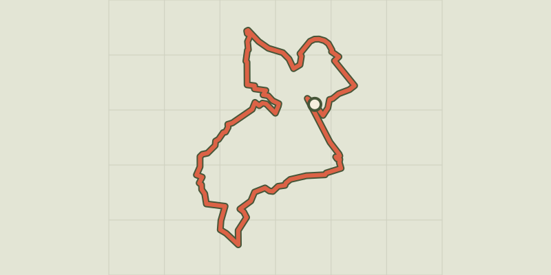
 Plan IGN © IGN 2026 · tracé © OpenStreetMapCircuit Rembrandt - 50.8 kmNouvelle-Aquitaine, Villeton (47) · Boucle
 Plan IGN © IGN 2026 · tracé © OpenStreetMapCircuit RiegelbourgVosges, Thann (68) · Boucle
 Plan IGN © IGN 2026 · tracé © OpenStreetMapCircuit Rive Droite Rive Gauche- Cergy-Neu Cergy -> CergyÎle-de-France, Éragny-sur-Oise (95) · Boucle
 Plan IGN © IGN 2026 · tracé © OpenStreetMapCircuit RochelotteVosges, Bussang (88) · Boucle
 Plan IGN © IGN 2026 · tracé © OpenStreetMapCircuit rouge du FrenzVosges, Kruth (68) · Boucle
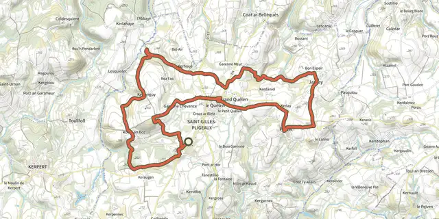 Plan IGN © IGN 2026Circuit rouge par JarnayBretagne, Saint-Gilles-Pligeaux (22) · Boucle
 Plan IGN © IGN 2026Circuit rouge par KerdanielBretagne, Saint-Gilles-Pligeaux (22) · Boucle
 Plan IGN © IGN 2026Circuit rouge par la ClartéBretagne, Saint-Gilles-Pligeaux (22) · Boucle

 Plan IGN © IGN 2026 · tracé © OpenStreetMapCircuit Saint-LéonVosges, Walscheid (57) · Boucle