
GPX tracks in France (page 109)
7,023 GPX tracks in France, with distance, elevation gain and time for each track. Pick a region on the map, then filter by department, sport, distance, elevation gain and time.
All GPX tracks in France
Activity : All activities

 Plan IGN © IGN 2026 · track © OpenStreetMapCircuit panoramiqueVosges, Ventron (88) · Loop
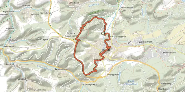 Plan IGN © IGN 2026 · track © OpenStreetMapCircuit panoramique autour de BitcheVosges, Bitche (57) · Loop
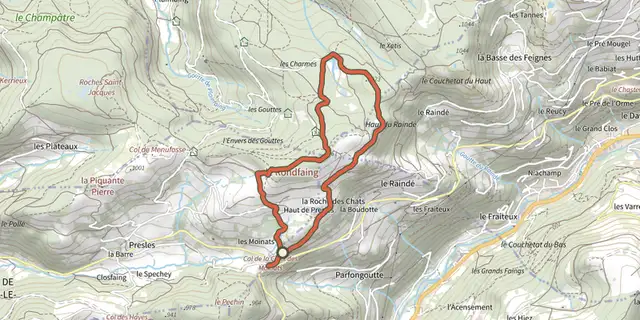 Plan IGN © IGN 2026 · track © OpenStreetMapCircuit panoramique du RondfaingVosges, Cornimont (88) · Loop
 Plan IGN © IGN 2026 · track © OpenStreetMapCircuit Panoramique SittlerVosges, Soultz-Haut-Rhin (68) · Loop
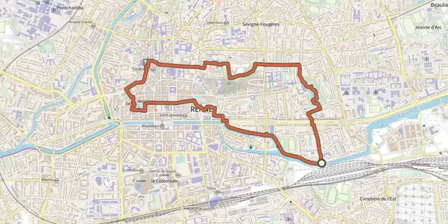 Plan IGN © IGN 2026Circuit Parcs et VilaineBrittany, Rennes (35) · Loop
 Plan IGN © IGN 2026Circuit PassayPays de la Loire, La Chevrolière (44) · LoopOfficial rating by Département de Loire-Atlantique
 Plan IGN © IGN 2026Circuit PasserellePays de la Loire, Saint-Colomban (44) · LoopOfficial rating by Département de Loire-Atlantique
 Plan IGN © IGN 2026 · track © OpenStreetMapCircuit pédestre du Yeun ElezArmorique, Botmeur (29) · Loop
 Plan IGN © IGN 2026Circuit Penn StivienBrittany, Bulat-Pestivien (22) · Loop
 Plan IGN © IGN 2026 · track © OpenStreetMapcircuit Pierres et NatureBrittany, Mellé (35) · Loop
 Plan IGN © IGN 2026 · track © OpenStreetMapCircuit Plan DieboldVosges, Thann (68) · Loop
 Plan IGN © IGN 2026Circuit PMR Pointe de Saint-GildasPays de la Loire, Préfailles (44) · LoopOfficial rating by Département de Loire-Atlantique
 Plan IGN © IGN 2026Circuit Pointe de Saint-GildasPays de la Loire, Préfailles (44) · LoopOfficial rating by Département de Loire-Atlantique
 Plan IGN © IGN 2026 · track © OpenStreetMapCircuit rando BiarrotteNouvelle-Aquitaine, Biarrotte (40) · Loop
 Plan IGN © IGN 2026Circuit randonnée Terre et RanceBrittany, Langrolay-sur-Rance (22) · LoopOfficial rating by Département des Côtes d'Armor
 Plan IGN © IGN 2026 · track © OpenStreetMapCircuit Rembrandt - 50.8 kmNouvelle-Aquitaine, Villeton (47) · Loop
 Plan IGN © IGN 2026 · track © OpenStreetMapCircuit RiegelbourgVosges, Thann (68) · Loop
 Plan IGN © IGN 2026 · track © OpenStreetMapCircuit Rive Droite Rive Gauche- Cergy-Neu Cergy -> CergyÎle-de-France, Éragny-sur-Oise (95) · Loop
 Plan IGN © IGN 2026 · track © OpenStreetMapCircuit RochelotteVosges, Bussang (88) · Loop
 Plan IGN © IGN 2026 · track © OpenStreetMapCircuit rouge du FrenzVosges, Kruth (68) · Loop
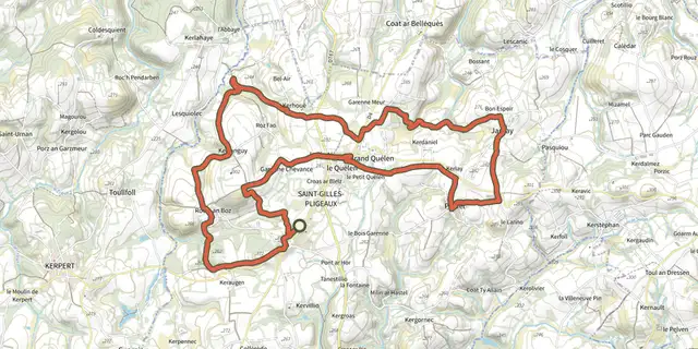 Plan IGN © IGN 2026Circuit rouge par JarnayBrittany, Saint-Gilles-Pligeaux (22) · Loop
 Plan IGN © IGN 2026Circuit rouge par KerdanielBrittany, Saint-Gilles-Pligeaux (22) · Loop
 Plan IGN © IGN 2026Circuit rouge par la ClartéBrittany, Saint-Gilles-Pligeaux (22) · Loop

 Plan IGN © IGN 2026 · track © OpenStreetMapCircuit Saint-LéonVosges, Walscheid (57) · Loop