
Traces GPX en France (page 115)
7 023 traces GPX en France, avec distance, dénivelé et durée pour chaque trace. Choisissez une région sur la carte, puis filtrez par département, sport, distance, dénivelé et durée.
Toutes les traces GPX en France
Discipline : Toutes les disciplines

 Plan IGN © IGN 2026Clot-ClavaryProvence-Alpes-Côte d'Azur, Chorges (05) · BoucleCotation officielle selon Parc national des Écrins
 Plan IGN © IGN 2026 · tracé © OpenStreetMapCoeur du vallonBretagne, Montreuil-sous-Pérouse (35) · Boucle
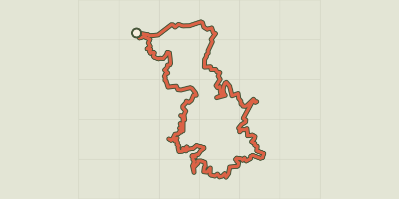
 Plan IGN © IGN 2026 · tracé © OpenStreetMapCol de BattagliaBalagne, L'Île-Rousse (2B) · Boucle
 Plan IGN © IGN 2026 · tracé © OpenStreetMapCol de Bavella<->Croix de LecciaCorse, Quenza (2A) · Boucle
 Plan IGN © IGN 2026 · tracé © OpenStreetMapCol de Bavella<->Trou de la BombeCorse, Zonza (2A) · Traversée
 Plan IGN © IGN 2026Col de BèsCévennes, Val-d'Aigoual (30) · BoucleCotation officielle selon Parc national des Cévennes
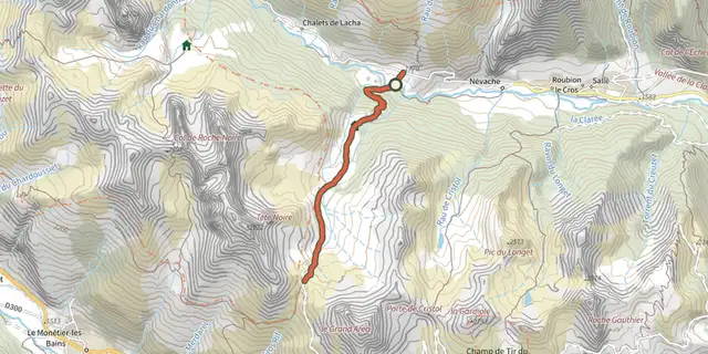 Plan IGN © IGN 2026Col de BuffèreProvence-Alpes-Côte d'Azur, Névache (05) · Aller-retourCotation officielle selon Parc national des Écrins
 Plan IGN © IGN 2026Col de ChabaudProvence-Alpes-Côte d'Azur, Cervières (05) · Aller-retourCotation officielle selon Parc national des Écrins
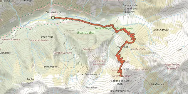 Plan IGN © IGN 2026Col de Côte Belle depuis ValsenestreÉcrins, Valjouffrey (38) · Aller-retourCotation officielle selon Parc national des Écrins
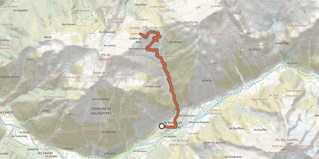 Plan IGN © IGN 2026Col de Côte Belle par le DésertÉcrins, Valjouffrey (38) · Aller-retourCotation officielle selon Parc national des Écrins

 Plan IGN © IGN 2026Col de Finiels - VTT n°12Cévennes, Mont Lozère et Goulet (48) · BoucleCotation officielle selon Parc national des Cévennes
 Plan IGN © IGN 2026Col de Font FroideÉcrins, La Motte-en-Champsaur (05) · Aller-retourCotation officielle selon Parc national des Écrins
 Plan IGN © IGN 2026Col de l'aigle - VTT n°7Cévennes, Pont de Montvert - Sud Mont Lozère (48) · BoucleCotation officielle selon Parc national des Cévennes
 Plan IGN © IGN 2026Col de l'Aup MartinÉcrins, Vallouise-Pelvoux (05) · Aller-retourCotation officielle selon Parc national des Écrins
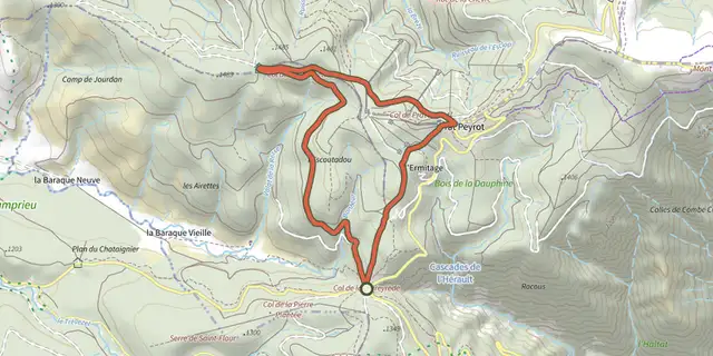 Plan IGN © IGN 2026Col de la CaumetteCévennes, Val-d'Aigoual (30) · BoucleCotation officielle selon Parc national des Cévennes
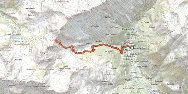 Plan IGN © IGN 2026Col de la CoupaÉcrins, Réallon (05) · Aller-retourCotation officielle selon Parc national des Écrins
 Plan IGN © IGN 2026Col de la GardetteProvence-Alpes-Côte d'Azur, Chorges (05) · Aller-retourCotation officielle selon Parc national des Écrins
 Plan IGN © IGN 2026Col de la Loubière - VTT N°22Cévennes, Mont Lozère et Goulet (48) · BoucleCotation officielle selon Parc national des Cévennes
 Plan IGN © IGN 2026 · tracé © OpenStreetMapCol de la Luère / Croix du BanAuvergne-Rhône-Alpes, Pollionnay (69) · Traversée
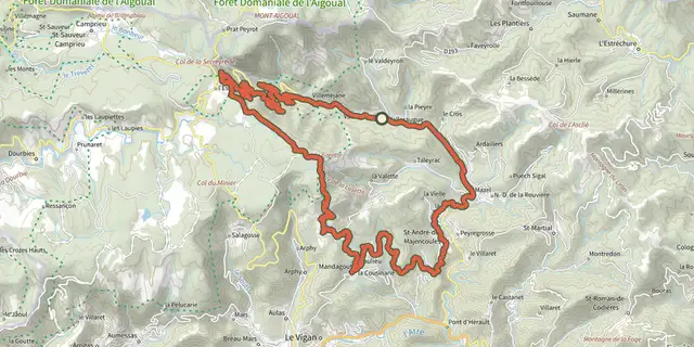 Plan IGN © IGN 2026Col de la LusetteCévennes, Val-d'Aigoual (30) · BoucleCotation officielle selon Parc national des Cévennes
 Plan IGN © IGN 2026Col de la PisseProvence-Alpes-Côte d'Azur, Puy-Saint-André (05) · Aller-retourCotation officielle selon Parc national des Écrins
 Plan IGN © IGN 2026Col de la PlanetteCévennes, Cassagnas (48) · BoucleCotation officielle selon Parc national des Cévennes
 Plan IGN © IGN 2026Col de la Règue par le vallon de ChargèsÉcrins, Réallon (05) · Aller-retourCotation officielle selon Parc national des Écrins
 Plan IGN © IGN 2026 · tracé © OpenStreetMapCol de la ViergeVosges, La Bresse (88) · Boucle