
Traces GPX en France (page 116)
7 023 traces GPX en France, avec distance, dénivelé et durée pour chaque trace. Choisissez une région sur la carte, puis filtrez par département, sport, distance, dénivelé et durée.
Toutes les traces GPX en France
Discipline : Toutes les disciplines

 Plan IGN © IGN 2026 · tracé © OpenStreetMapCol de Laünde VTT asp08Pyrénées, Sarrance (64) · Boucle

 Plan IGN © IGN 2026Col de MalrifProvence-Alpes-Côte d'Azur, Cervières (05) · Aller-retourCotation officielle selon Parc national des Écrins
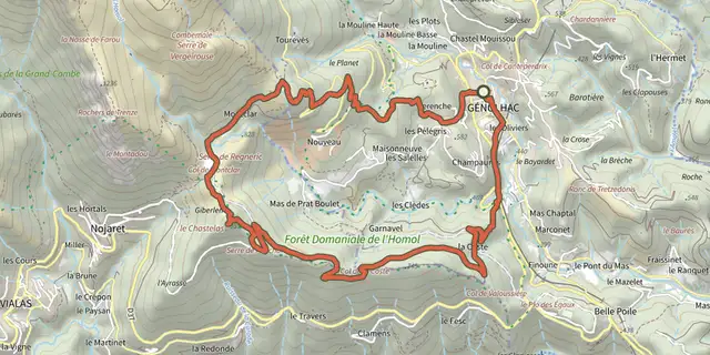 Plan IGN © IGN 2026Col de MontclarCévennes, Génolhac (30) · BoucleCotation officielle selon Parc national des Cévennes
 Plan IGN © IGN 2026Col de PéasProvence-Alpes-Côte d'Azur, Cervières (05) · Aller-retourCotation officielle selon Parc national des Écrins
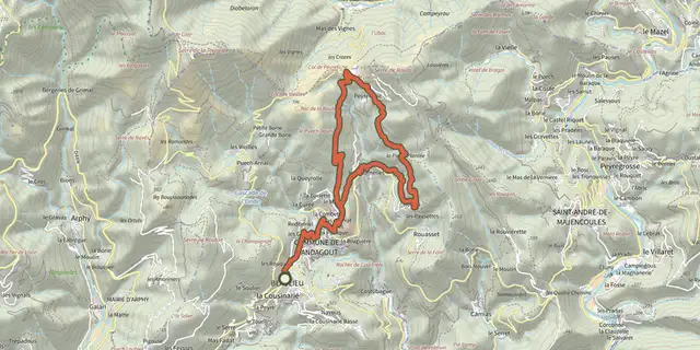 Plan IGN © IGN 2026Col de PeyreficheCévennes, Mandagout (30) · BoucleCotation officielle selon Parc national des Cévennes

 Plan IGN © IGN 2026Col de Pontis depuis Savines-le-LacÉcrins, Savines-le-Lac (05) · TraverséeCotation officielle selon Parc national des Écrins
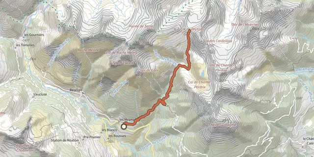 Plan IGN © IGN 2026Col de ReyssasÉcrins, Réallon (05) · Aller-retourCotation officielle selon Parc national des Écrins
 Plan IGN © IGN 2026 · tracé © OpenStreetMapCol de Sainte-MarieVosges, Ban-de-Laveline (88) · Boucle
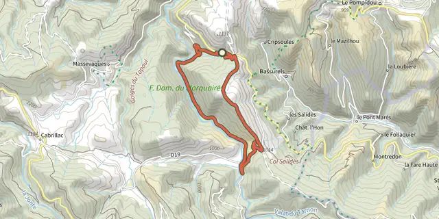 Plan IGN © IGN 2026Col de SalidèsCévennes, Bassurels (48) · BoucleCotation officielle selon Parc national des Cévennes
 Plan IGN © IGN 2026Col de ValbelleProvence-Alpes-Côte d'Azur, Saint-André-d'Embrun (05) · Aller-retourCotation officielle selon Parc national des Écrins
 Plan IGN © IGN 2026Col des 4 cheminsCévennes, Peyremale (30) · BoucleCotation officielle selon Parc national des Cévennes
 Plan IGN © IGN 2026Col des AbeillesCévennes, Saint-André-de-Lancize (48) · BoucleCotation officielle selon Parc national des Cévennes
 Plan IGN © IGN 2026Col des AclesProvence-Alpes-Côte d'Azur, Névache (05) · Aller-retourCotation officielle selon Parc national des Écrins
 Plan IGN © IGN 2026Col des AiresOccitanie, Saint-Bresson (30) · BoucleCotation officielle selon Parc national des Cévennes

 Plan IGN © IGN 2026Col des Faïsses - Rey- Trail n°12Cévennes, Barre-des-Cévennes (48) · BoucleCotation officielle selon Parc national des Cévennes
 Plan IGN © IGN 2026Col des MarsaillesProvence-Alpes-Côte d'Azur, Cervières (05) · Aller-retourCotation officielle selon Parc national des Écrins
 Plan IGN © IGN 2026Col des MuandesProvence-Alpes-Côte d'Azur, Névache (05) · BoucleCotation officielle selon Parc national des Écrins
 Plan IGN © IGN 2026Col des OrresProvence-Alpes-Côte d'Azur, Les Orres (05) · Aller-retourCotation officielle selon Parc national des Écrins
 Plan IGN © IGN 2026Col des OurdeisProvence-Alpes-Côte d'Azur, Cervières (05) · Aller-retourCotation officielle selon Parc national des Écrins
 Plan IGN © IGN 2026Col des Thures et lac ChavillonProvence-Alpes-Côte d'Azur, Névache (05) · BoucleCotation officielle selon Parc national des Écrins
 Plan IGN © IGN 2026Col du DevinayreCévennes, Saint-André-de-Majencoules (30) · BoucleCotation officielle selon Parc national des Cévennes
 Plan IGN © IGN 2026Col du VallonProvence-Alpes-Côte d'Azur, Névache (05) · Aller-retourCotation officielle selon Parc national des Écrins
 Plan IGN © IGN 2026Col SalidèsCévennes, Val-d'Aigoual (30) · BoucleCotation officielle selon Parc national des Cévennes
 Plan IGN © IGN 2026Colline de PlanoiseBourgogne-Franche-Comté, Besançon (25) · BoucleCotation officielle selon Département du Doubs