
Le Pas des Ondes

Key facts
- Distance
- 1.1 km
- Ascent
- +11 m
- Descent
- −0 m
- Estimated time
- 15 min
- hiking
- Difficulty
- Very easy
- official rating
- Route
- Loop
- back to the start
Profile and gradient
- under 10%
- 10 to 20%
- over 20%
Gradient along the route: 1.1 km under 10%. Elevation from 517 m to 524 m over 1.1 km.
Description
A family stroll along the water of the Pas des Ondes, true "oasis” of the Baronnies Provençales. This flat path road oscillates between the Pas des Ondes lakes and the bank of the Oule river. This easy walk and walkable with a stroller (if you do not go to the Clue) invites the stroll and the observation of nature related to these aquatic environments. By being parked in the Pas des Ondes car park (parking and access to the water body in July and August are not free), return to the entrance gate of the site. Take the bank path between the Oule river and the lake : The starting point of the theme trail "Faune aquatique du Pas des Ondes" is located there. Follow this flat path for 600 meters to the end of the second lake and pass to the left of the educational pond. 1- Shortly after the two fishing pontoons, facing the hill surmounted by the ruins of the castle, take the small path that goes up the slope. After a turn on the left, the path leads to another path: take a right on this new path crossing towards the river, down to a road. Take a left on the path which turns into a path and join the bank of the river to a pebble beach. 2- Turn back and join the previous intersection. 3- Follow straight on the flat path between the river and the treatment plant and return to the educational pond. 4- Continue the tour of the water bodies along the banks by the flat road or the path through the grass that can be seen near the shores of water bodies.
Difficulty
Official rating: very easy, by Parcs naturels régionaux de Provence-Alpes-Côte d'Azur.
Before you go
- Parking and access to water body are not free in July and August.
Getting there
Start: Plans d'eau du Pas des Ondes, Cornillon-sur-l'Oule, Cornillon-sur-l'Oule (26).
Sources
- Track: Parcs naturels régionaux de Provence-Alpes-Côte d'Azur (Chemins des Parcs), Licence Ouverte 2.0, Licence Ouverte 2.0 (Etalab) (www.cheminsdesparcs.fr/trek/56107-CORNILLON-SUR-L-OULE---Le-Pas-des-Ondes). Time estimated by GPX Path with the Mac app rule, breaks not included.
- Official elevation gain: 11 m, Parcs naturels régionaux de Provence-Alpes-Côte d'Azur
Nearby tracks

 © OpenStreetMap, SRTM · OpenTopoMap (CC-BY-SA)
Le plateau de Saint-Laurent
Auvergne-Rhône-Alpes, Saint-May (26) · Out and backOfficial rating by Parcs naturels régionaux de Provence-Alpes-Côte d'Azur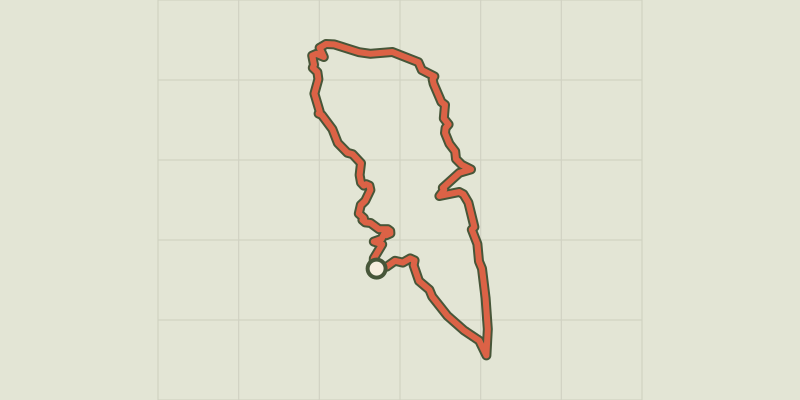 © OpenStreetMap, SRTM · OpenTopoMap (CC-BY-SA)
Tour of the Montagne du Buègue
Auvergne-Rhône-Alpes, Saint-May (26) · LoopOfficial rating by Parcs naturels régionaux de Provence-Alpes-Côte d'Azur © OpenStreetMap, SRTM · OpenTopoMap (CC-BY-SA)
Remuzat - Le rocher du Caire
Auvergne-Rhône-Alpes, Rémuzat (26) · LoopOfficial rating by Parcs naturels régionaux de Provence-Alpes-Côte d'Azur © OpenStreetMap, SRTM · OpenTopoMap (CC-BY-SA)
La Charce - Col de la Loubière et ruisseau des Archettes
Auvergne-Rhône-Alpes, La Charce (26) · LoopOfficial rating by Parcs naturels régionaux de Provence-Alpes-Côte d'Azur © OpenStreetMap, SRTM · OpenTopoMap (CC-BY-SA)
Villeperdrix - Sentier des oliviers
Auvergne-Rhône-Alpes, Villeperdrix (26) · LoopOfficial rating by Parcs naturels régionaux de Provence-Alpes-Côte d'Azur © OpenStreetMap, SRTM · OpenTopoMap (CC-BY-SA)
Montreal-les-Sources - Sur les traces des sources
Auvergne-Rhône-Alpes, Montréal-les-Sources (26) · LoopOfficial rating by Parcs naturels régionaux de Provence-Alpes-Côte d'Azur