
Free GPX route planner: plan and download your route

GPX route planners by activity
Walking route planner
Hiking and walking
Running route planner
Running and trail running
Road cycling route planner
Road cycling
MTB route planner
Trails and singletrack
Gravel route planner
Gravel and dirt roads




GPX tracks by region
Checked tracks, with distance, elevation gain and time for each file.
See all tracksYour route follows the trails
Drop a start, a finish and a few waypoints. The line snaps to the paths on the map for the mode you pick, and distance, elevation gain and time update with every click.
It all happens in the GPX editor, with no account.
Open the editor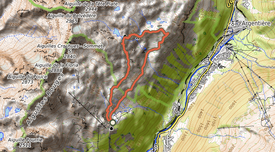
© OpenStreetMap contributors, SRTM, map style OpenTopoMap (CC-BY-SA)

Your tracks, offline, on your Mac
Maps stay on your disk and display without a connection. Every feature, for €24.99 a year.
A GPX file, no sign-up
The export downloads straight away, no email address needed. The file opens in Garmin Connect, the Suunto app, Komoot and most hiking apps.
Open a GPX you were sent in the GPX viewer; turn a KML, KMZ or FIT file into GPX with the GPX converter.
Convert a file- lac-blanc-cheserys.gpx
- sunday-ride.kml
- watch-track.fit