
Hiking in the Pyrenees: the 10 best hikes, with GPX tracks
These are 10 day hikes in the French Pyrenees, from Lac de Gaube to the summit of Canigou, each with a verified GPX track, distance, elevation gain and walking time. They cover all five Pyrenean départements and range from 5.0 km (3.1 mi) with 260 m of climbing to 19.2 km (11.9 mi) with 1,400 m. The Cirque de Gavarnie is here too, by the Espugues ledge path rather than the crowded main track. Other ranges are listed in our hiking routes.
Updated 27 October 2026.
The 10 best hikes in the Pyrenees
The list runs from easiest to hardest, using the grade given by each route's official sheet, then, for equal grades, by increasing ascent. The order is there to help you find a walk that suits you. Each track can be downloaded in exchange for an email address and opened in the GPX Path editor to adjust it.
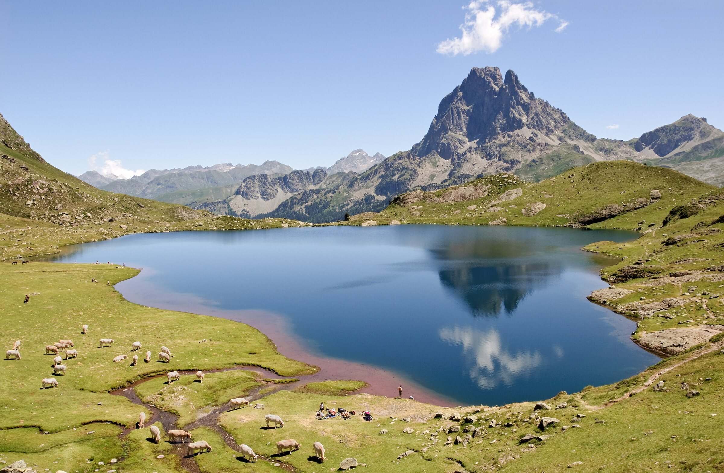
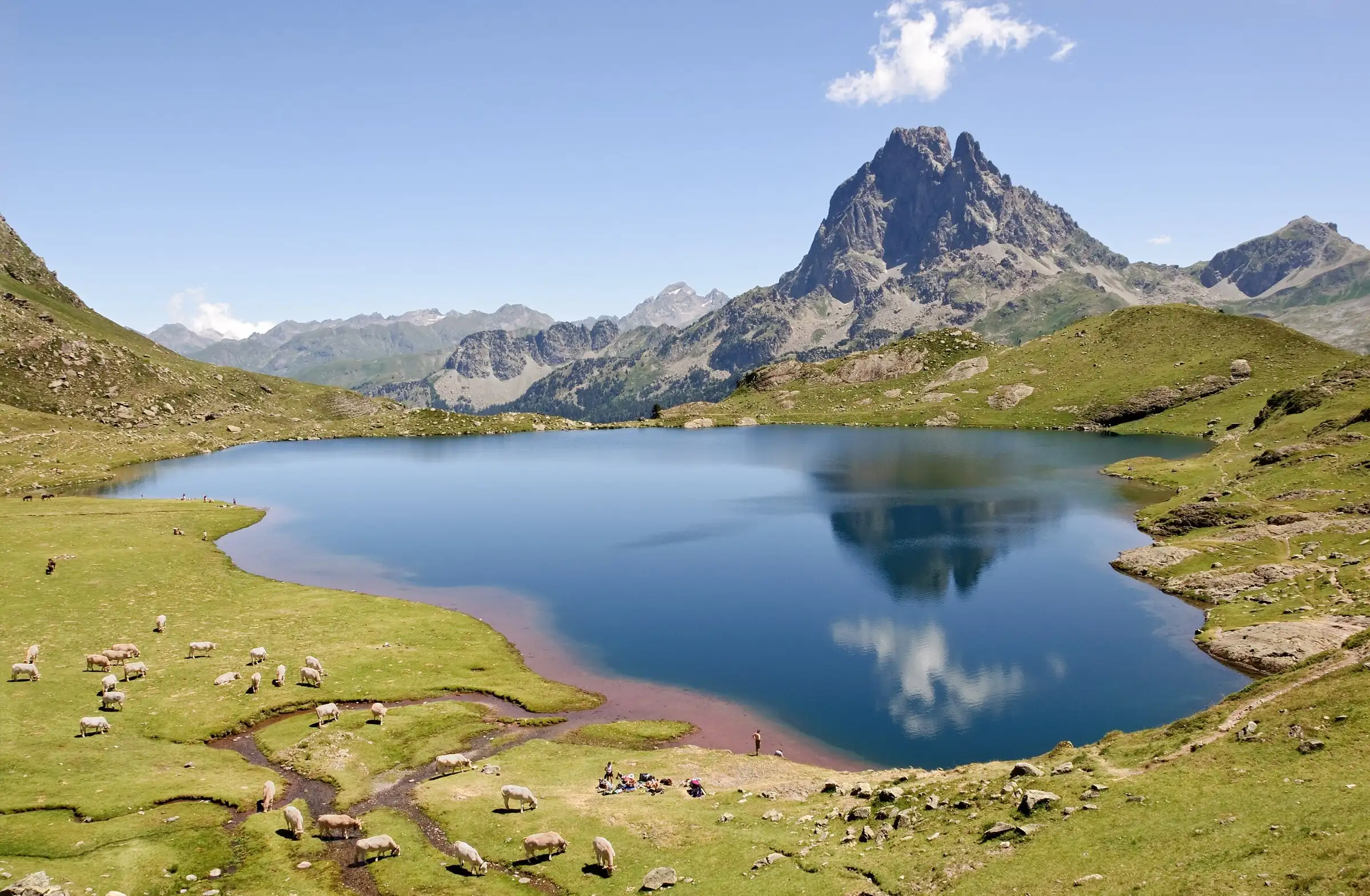
Myrabella, CC BY-SA 3.0 1. Ayous lakes from Bious-Artigues
A string of three lakes up to the Ayous hut, where the Pic du Midi d'Ossau is mirrored in Lac Gentau. Over 550 m of climbing, on a path with no technical difficulty.
- Out and back: 11.1 km (6.9 mi), 553 m (1,814 ft) of ascent, high point 1,967 m
- Time: 5 hr per the official sheet (3 hr 40 min of walking by our estimate)
- Grade (official sheet): easy, per Béarn Pyrénées, tourisme64; season: May to October
- Start: Lac de Bious-Artigues car park (or Bious-Oumettes car park if full), Pyrénées-Atlantiques (64)
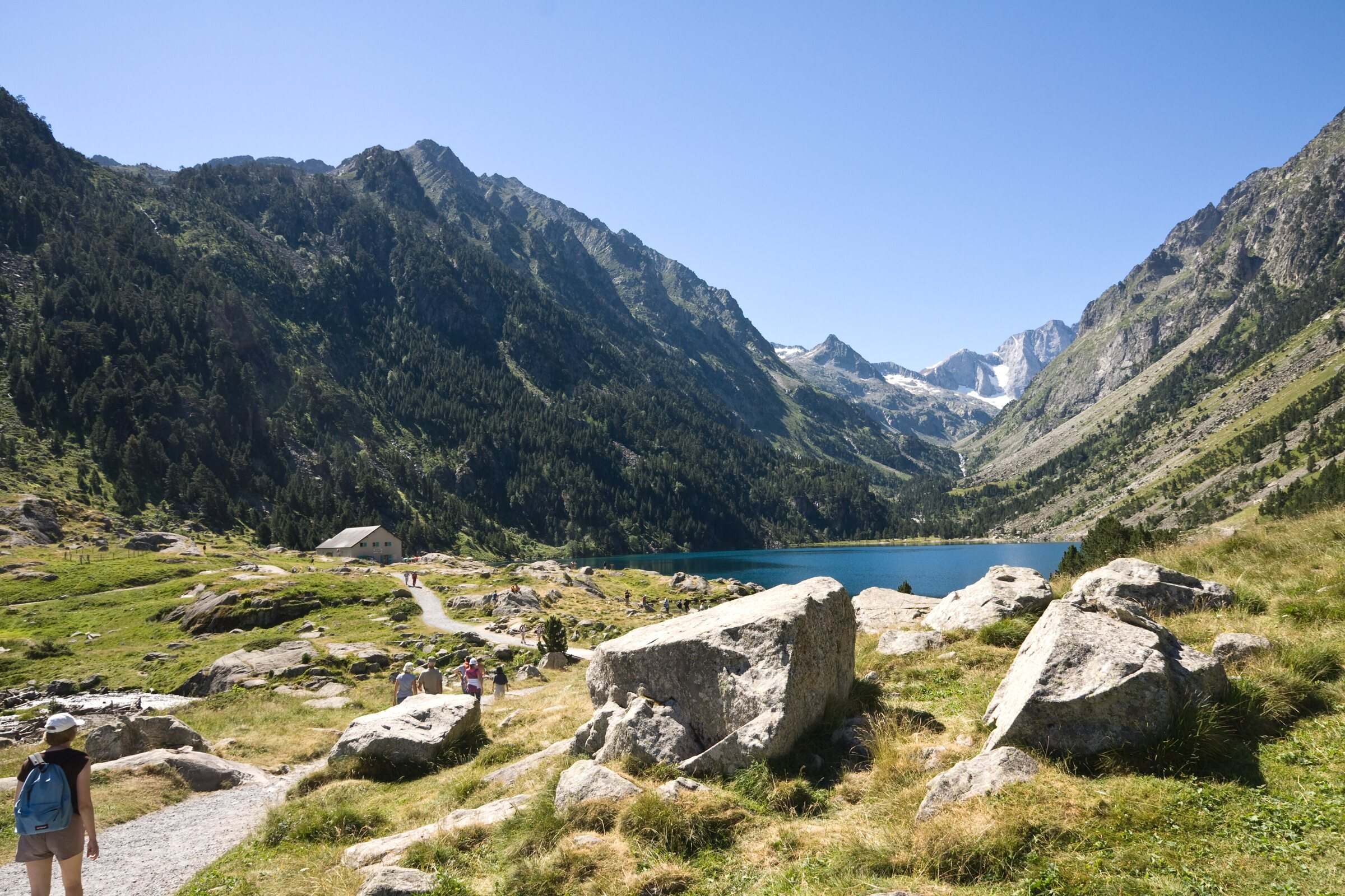
Jean-Christophe BENOIST, CC BY 3.0 2. Lac de Gaube from Pont d'Espagne
The shortest walk here and one of the busiest: a climb through forest from Pont d'Espagne to a lake set in front of the Vignemale. Steep at first, then easy going.
- Out and back: 5.0 km (3.1 mi), 260 m (853 ft) of ascent, high point 1,730 m
- Time: 2 hr 30 per the official sheet (1 hr 40 min of walking by our estimate)
- Grade (official sheet): moderate, per Vallées de Gavarnie; season: late spring to autumn
- Start: Puntas car park, Pont d'Espagne (paid), Hautes-Pyrénées (65)
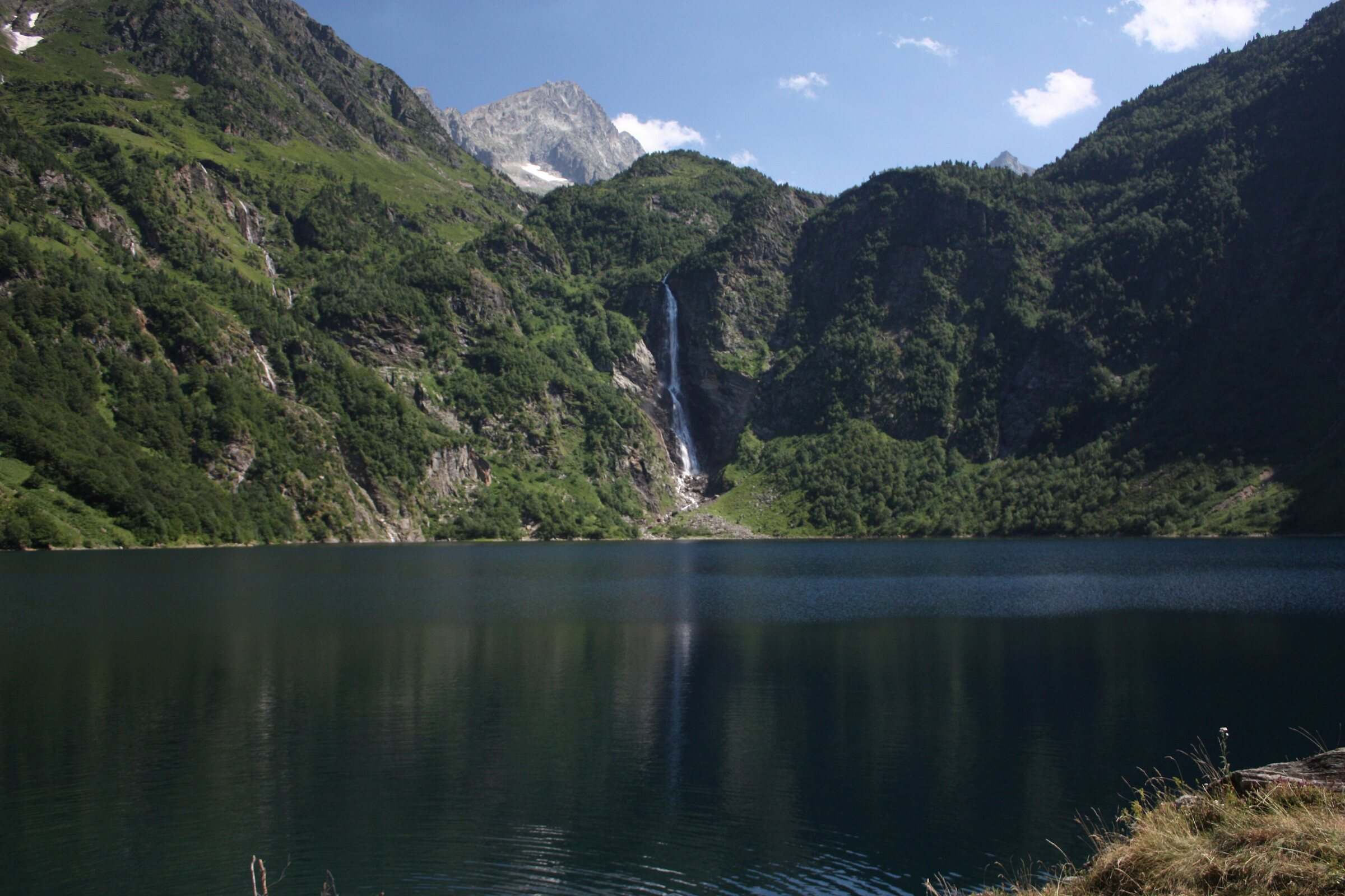
Daniel VILLAFRUELA, CC BY-SA 3.0 3. Lac d'Oô from Granges d'Astau
A track then a path to the hut on Lac d'Oô, facing a 275 m waterfall, with 378 m of climbing. The Occitanie tourist board rates it suitable for occasional walkers.
- Out and back: 6.6 km (4.1 mi), 378 m (1,240 ft) of ascent, high point 1,510 m
- Time: 3 hr per the official sheet (2 hr 20 min of walking by our estimate)
- Grade (official sheet): moderate, per Haute-Garonne Tourisme; season: April to November
- Start: Granges d'Astau car park, just past the restaurants, Haute-Garonne (31)
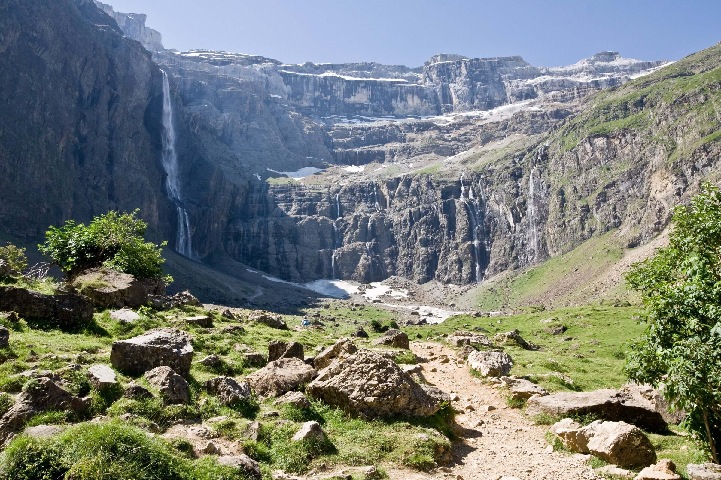
Jean-Christophe BENOIST, CC BY 3.0 4. Cirque de Gavarnie via the Espugues ledge path
The most searched-for walk in the range, by a quieter line: the Espugues ledge path high above the cirque, then back along the main track.
- Loop: 9.4 km (5.8 mi), 404 m (1,325 ft) of ascent, high point 1,761 m
- Time: 3 hr 45 per the official sheet (3 hr of walking by our estimate)
- Grade (official sheet): moderate, per Vallées de Gavarnie; season: June to October
- Start: Gavarnie tourist office (paid car parks at the village entrance), Hautes-Pyrénées (65)
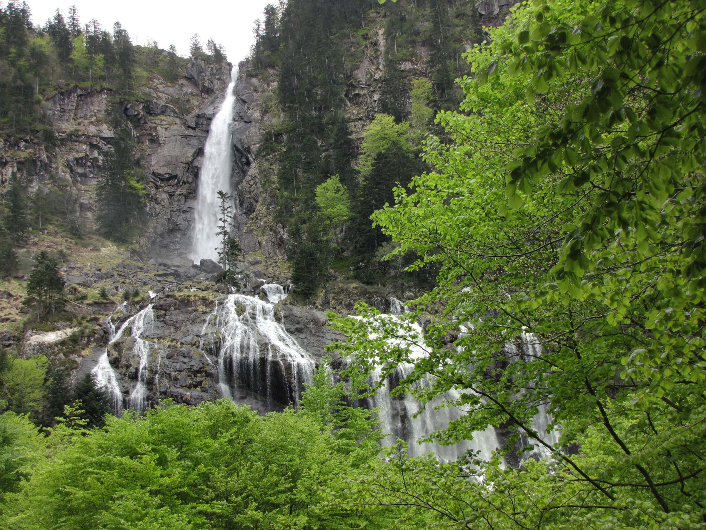
Mathieu MD, CC BY-SA 3.0 5. Cascade d'Ars from Aulus-les-Bains
The signature walk of Aulus-les-Bains in the Couserans: a forest track then beech woods to the foot of a 110 m drop, the main tier of a 246 m waterfall.
- Out and back: 9.3 km (5.8 mi), 595 m (1,952 ft) of ascent, high point 1,371 m
- Time: 3 hr 30 per the official sheet (3 hr 35 min of walking by our estimate)
- Grade (official sheet): moderate, per CRT Occitanie; season: best in May and June
- Start: Aulus-les-Bains tourist office (free parking in front), Ariège (09)
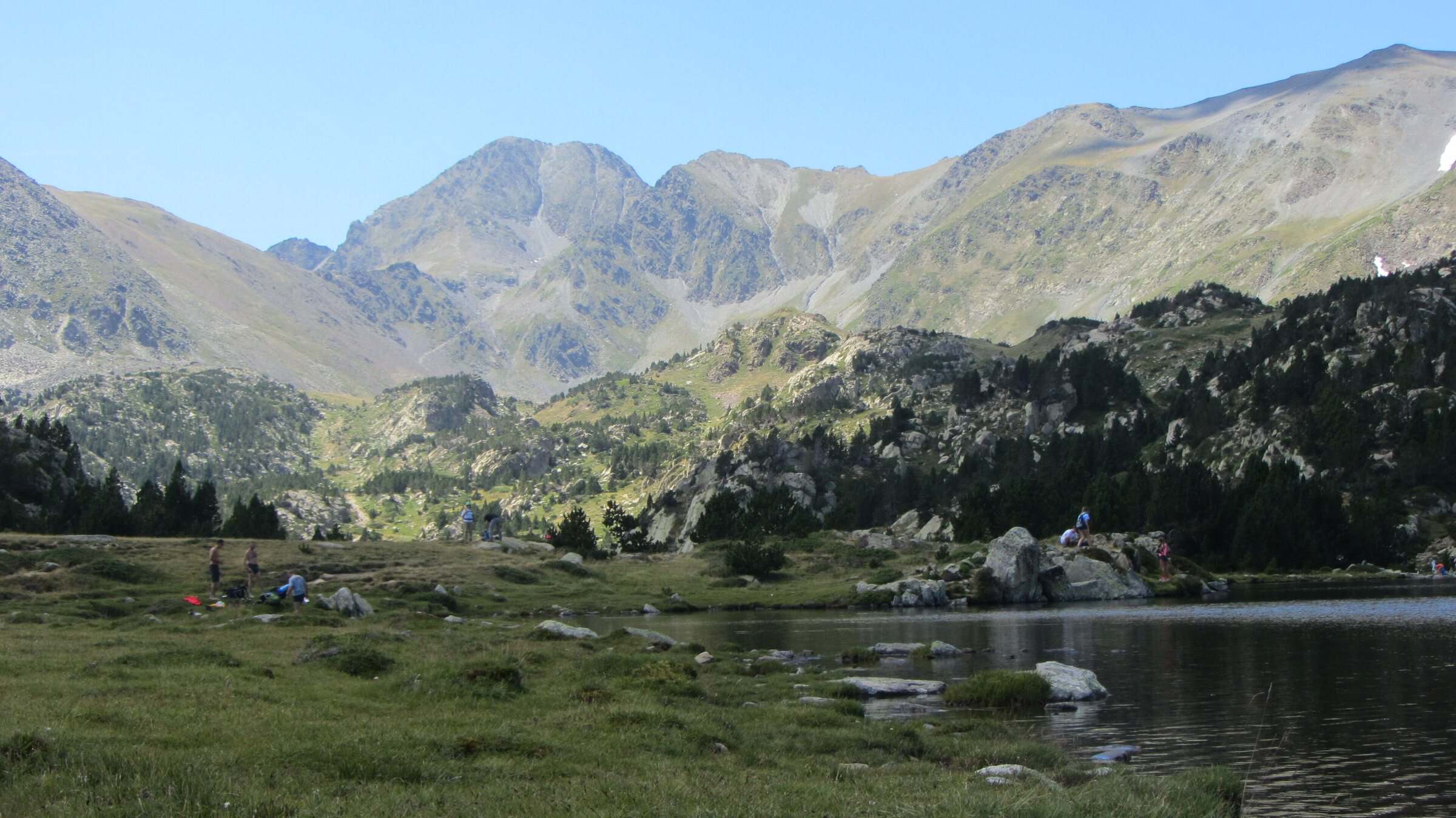
Matthieu Lecubain, CC BY-SA 4.0 6. Carlit lakes loop (9 lakes)
A high-level loop that starts at 2,030 m, at the Bouillouses dam, and moves from lake to lake below the Carlit. Little climbing, but the first half hour is on rough ground, hence its grade. In summer you get there by shuttle.
- Loop: 6.3 km (3.9 mi), 227 m (745 ft) of ascent, high point 2,242 m
- Time: 2 hr 20 per the official sheet (1 hr 55 min of walking by our estimate)
- Grade (official sheet): moderate to hard, per Département des Pyrénées-Orientales; season: summer, early autumn
- Start: Bouillouses dam, by the Bones Hores hotel, Pyrénées-Orientales (66)
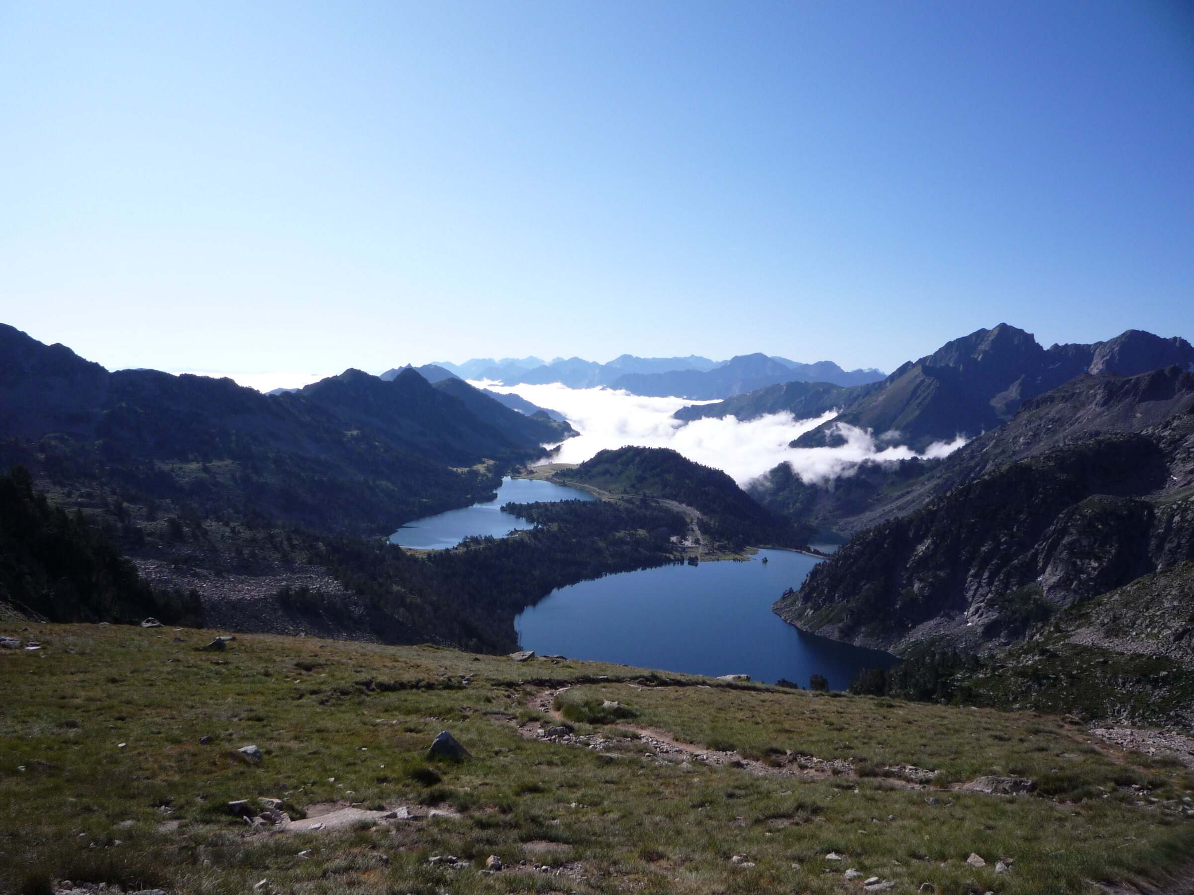
Zandr4, CC BY-SA 3.0 7. Néouvielle lakes via the Col d'Estoudou
Four lakes in the Néouvielle reserve (Orédon, Laquettes, Aubert, Aumar) and a pass at 2,260 m, with a steep descent to finish.
- Loop: 10.7 km (6.6 mi), 528 m (1,732 ft) of ascent, high point 2,254 m
- Time: 5 hr 30 per the official sheet (3 hr 30 min of walking by our estimate)
- Grade (official sheet): hard, per Office de tourisme de Piau-Engaly; season: snow-free months
- Start: Lac d'Orédon car park, Hautes-Pyrénées (65)
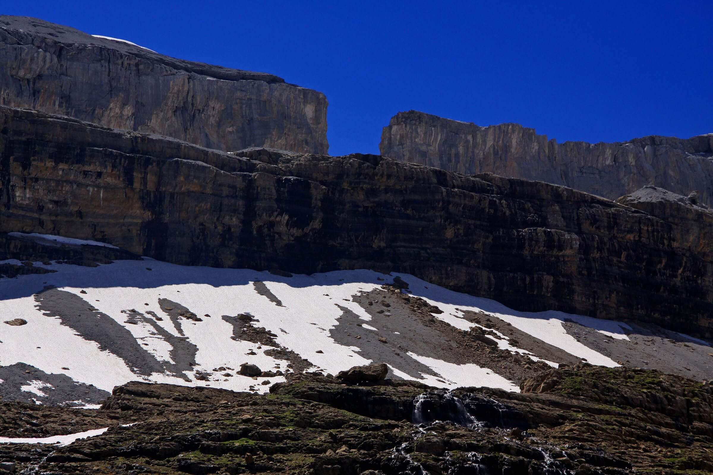
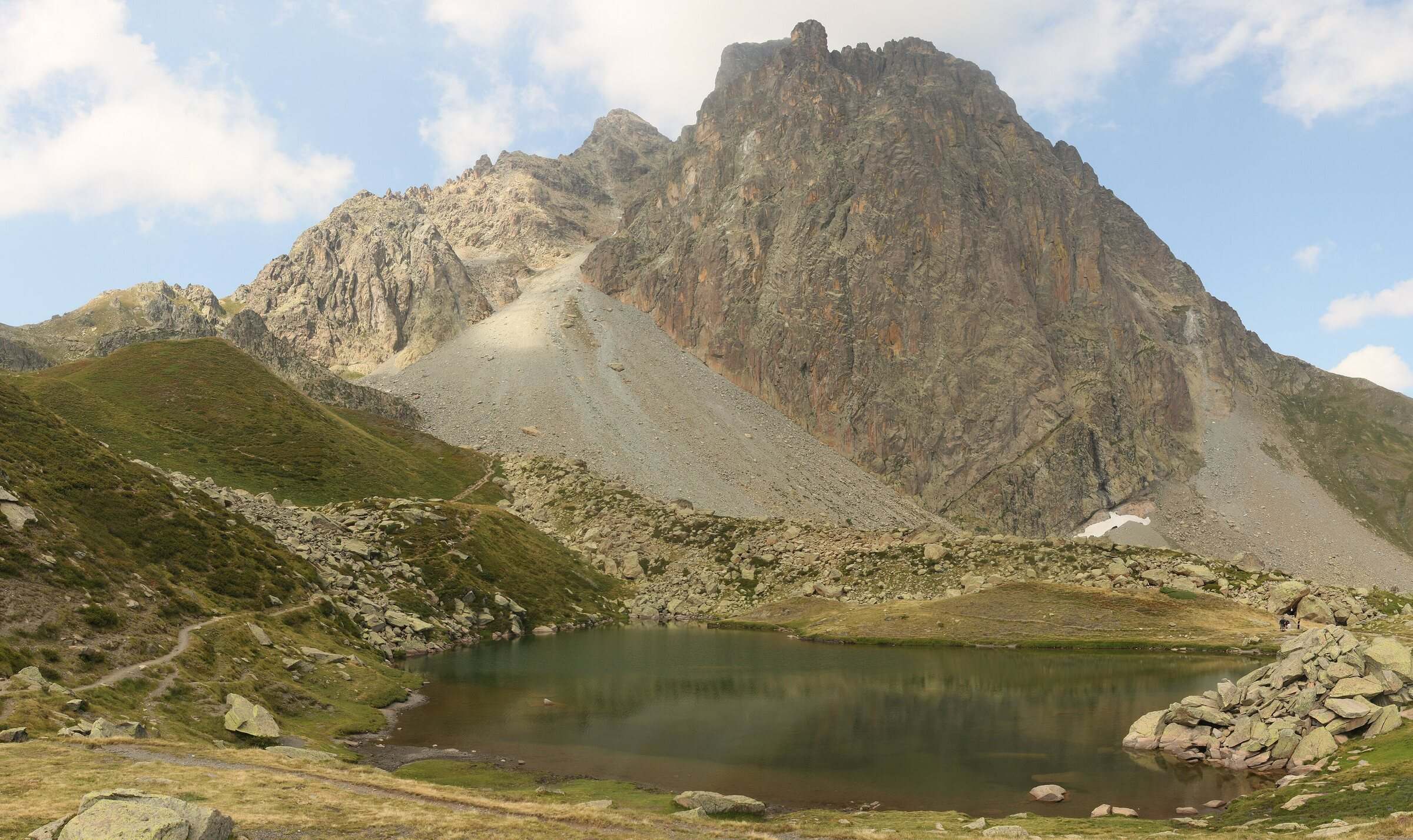
Guillaume Baviere, CC BY-SA 2.0 8. Brèche de Roland from the Col des Tentes
The only border walk on the list: a 2,807 m notch in the wall of the Gavarnie cirque, looking out over Ordesa. High-mountain terrain, with late-lying snow.
- Out and back: 11.0 km (6.8 mi), 605 m (1,985 ft) of ascent, high point 2,792 m
- Time: 5 hr 30 per the official sheet (3 hr 50 min of walking by our estimate)
- Grade (official sheet): hard, per Vallées de Gavarnie; season: early August to mid-September
- Start: Col des Tentes, end of the Gavarnie-Gèdre ski resort road, Hautes-Pyrénées (65)
Cptcv, CC BY-SA 2.5 9. Pic du Midi d'Ossau loop
The full circuit of the Béarn's signature peak, over the Suzon and Peyreget passes and past the Pombie hut: 1,001 m of climbing, scree, and no painted waymarks.
- Loop: 15.5 km (9.6 mi), 1,001 m (3,284 ft) of ascent, high point 2,312 m
- Time: 7 hr per the official sheet (6 hr of walking by our estimate)
- Grade (official sheet): hard, per Béarn Pyrénées, tourisme64; season: summer, early autumn
- Start: Lac de Bious-Artigues car park, Pyrénées-Atlantiques (64)
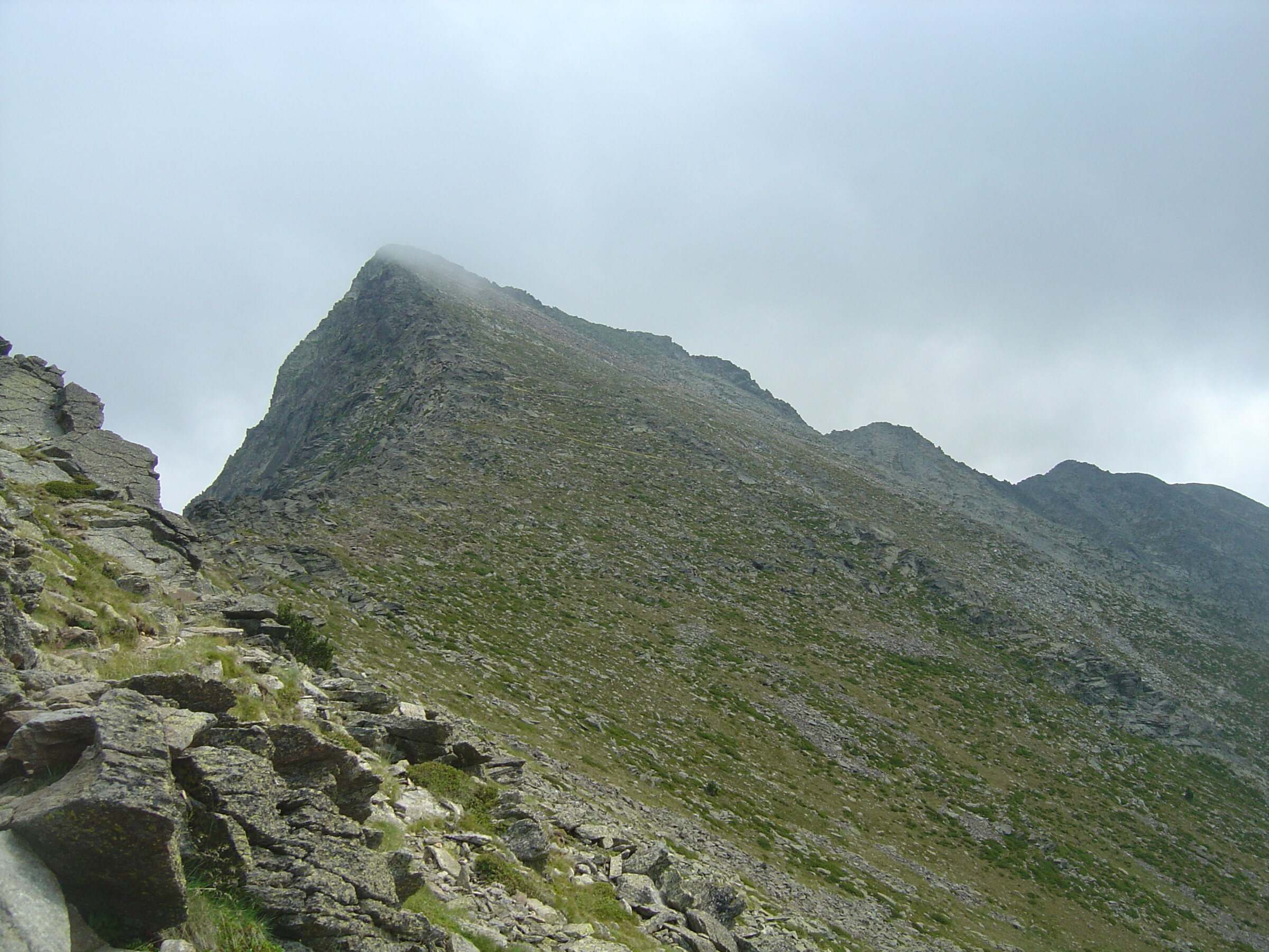
Anthospace, CC BY-SA 4.0 10. Pic du Canigou via the Cortalets
The easternmost high summit of the Pyrenees (2,784 m), by the Cortalets route: the longest day on the list, with 1,400 m of climbing.
- Out and back: 19.2 km (11.9 mi), 1,400 m (4,593 ft) of ascent, high point 2,782 m
- Time: 8 hr 30 per the official sheet (8 hr 10 min of walking by our estimate)
- Grade (official sheet): hard, per Office de tourisme Conflent Canigó; season: June to September
- Start: Esquena d'Ase car park (1,380 m), on the Llec track above Villerach, Pyrénées-Orientales (66)


How we chose these 10 Pyrenees hikes
We picked walks known by their own name and described by an official source (tourist office, national park or département) that gives the route, distance and elevation gain. Five criteria did the sorting:
- A current official route sheet. Each hike follows a route published by a tourist office, the national park or a département, linked from the route page.
- All five départements. Pyrénées-Atlantiques, Hautes-Pyrénées, Haute-Garonne, Ariège and Pyrénées-Orientales are all on the list, with a single border walk, the Brèche de Roland.
- Every level. From 1 hr 40 of walking to a day of more than 8 hours. By the official sheets: one easy hike, four moderate, one moderate to hard and four hard.
- Different landscapes. Mountain lakes, a glacial cirque, a waterfall, a border gap, a peak circuit and a summit.
- A checked track. We drew every GPX ourselves on OpenStreetMap paths, then compared distance and ascent with the official figures. Where the official track was published, we laid it over ours: 97.7% to 100% of our line runs within 50 m of it.
We left out sections of long-distance trails sold as day hikes, climbs that need mountaineering gear all season, and routes entirely in Spain. The GR® 10, which crosses the range from Hendaye to Banyuls, will get its own page.
Comparison table of the 10 hikes
Distance and ascent are measured on our GPX tracks; times are from the official route sheets, without breaks.
| # | Hike | Dept | Type | Distance | Ascent | Time (official) | Grade (official sheet) | Season |
|---|---|---|---|---|---|---|---|---|
| 1 | Ayous lakes from Bious-Artigues | 64 | out and back | 11.1 km (6.9 mi) | 553 m (1,814 ft) | 5 hr | Easy | May to October |
| 2 | Lac de Gaube from Pont d'Espagne | 65 | out and back | 5.0 km (3.1 mi) | 260 m (853 ft) | 2 hr 30 | Moderate | late spring to autumn |
| 3 | Lac d'Oô from Granges d'Astau | 31 | out and back | 6.6 km (4.1 mi) | 378 m (1,240 ft) | 3 hr | Moderate | April to November |
| 4 | Cirque de Gavarnie via the Espugues ledge path | 65 | loop | 9.4 km (5.8 mi) | 404 m (1,325 ft) | 3 hr 45 | Moderate | June to October |
| 5 | Cascade d'Ars from Aulus-les-Bains | 09 | out and back | 9.3 km (5.8 mi) | 595 m (1,952 ft) | 3 hr 30 | Moderate | best in May and June |
| 6 | Carlit lakes loop (9 lakes) | 66 | loop | 6.3 km (3.9 mi) | 227 m (745 ft) | 2 hr 20 | Moderate to hard | summer, early autumn |
| 7 | Néouvielle lakes via the Col d'Estoudou | 65 | loop | 10.7 km (6.6 mi) | 528 m (1,732 ft) | 5 hr 30 | Hard | snow-free months |
| 8 | Brèche de Roland from the Col des Tentes | 65 | out and back | 11.0 km (6.8 mi) | 605 m (1,985 ft) | 5 hr 30 | Hard | early August to mid-September |
| 9 | Pic du Midi d'Ossau loop | 64 | loop | 15.5 km (9.6 mi) | 1,001 m (3,284 ft) | 7 hr | Hard | summer, early autumn |
| 10 | Pic du Canigou via the Cortalets | 66 | out and back | 19.2 km (11.9 mi) | 1,400 m (4,593 ft) | 8 hr 30 | Hard | June to September |
The grade shown is the one on each route's official sheet, credited on the route page. Where two official sources disagree, we use the most local one (valley tourist office, national park, département) over the regional tourist board: Lac de Gaube is rated moderate by the Vallées de Gavarnie sheet and easy by the Occitanie tourist board. These grades do not always follow the climbing: the Carlit loop (227 m) is rated moderate to hard for its rough path, the Ayous lakes (553 m) easy.
When to go hiking in the Pyrenees
Most of these walks are done once the snow has gone, in summer and early autumn. Dates vary by route:
- Brèche de Roland: usually early August to mid-September without snow gear; snow often lingers until late July, and the Col des Tentes road is closed in winter.
- Cirque de Gavarnie by the ledge path: June to October; avalanche debris can block the ledge until late in the season.
- Cascade d'Ars: strongest during snowmelt in May and June, but avalanche gullies delay the opening of the path.
- Lac d'Oô: 1 April to 30 November depending on snow; the hut is open from early May to late October.
- Ayous lakes and the Ossau loop: the road to Lac de Bious-Artigues is open from May to October.
- Carlit lakes: in July and August the lake road is restricted, with a shuttle from Pla de Barrès.
- Pic du Canigou: the Llec track is usually closed to vehicles from October to May.
National park and reserve rules
Five of these walks enter the core zone of the Pyrénées National Park (Gaube, Gavarnie, Brèche de Roland, the Ossau loop) or the Néouvielle nature reserve. The rules there are strict:
- No dogs in the national park core zone, even on a lead, and none in the Néouvielle reserve. At Lac de Gaube they are tolerated on a lead for walkers who take the chairlift.
- Bivouac in the core zone only from 7 pm to 9 am, more than an hour's walk from any road. No fires.
- No swimming in Lac de Gaube or Lac d'Oô; avoid it in the Néouvielle.
- Outside the core zone, local rules apply: at Les Bouillouses, a protected site, dogs on a lead and bivouac from 7 pm to 9 am; at Lac d'Oô, dogs on a lead; at Lac Gentau, bivouacking was banned on part of the shore in 2021.
The full rules are on the Pyrénées National Park regulations page (in French).
Mountain huts, weather and safety
Several routes lead to a mountain hut: Lac d'Oô (open early May to late October), Ayous (48 places), Pombie, Brèche de Roland, Cortalets. Works are announced at the Cortalets refuge from 2026 to 2028, so check that it is open before relying on it. In summer, book your night with the hut.
Check the Météo-France mountain forecast for the Pyrenees the day before and the morning you set off. Above 2,000 m, the Néouvielle, Carlit, Ossau, Brèche and Canigou routes are out in the open: if thunderstorms are forecast, start early or turn back. The emergency number in France is 112.
Getting there: access and trailheads
- Ayous lakes from Bious-Artigues: Ossau valley via Laruns and Gabas, then the road to Lac de Bious-Artigues. No public transport listed on the official sheet.
- Lac de Gaube from Pont d'Espagne: From Cauterets, D920 to Pont d'Espagne (8 km). Paid parking at Puntas. Lourdes railway station, bus 965 Lourdes to Cauterets, then the Cauterets to Pont d'Espagne shuttle in high season.
- Lac d'Oô from Granges d'Astau: From Bagnères-de-Luchon, D618 then D76 through Oô village to Granges d'Astau. Luchon station, then the Lipy 1 bus in July and August.
- Cirque de Gavarnie via the Espugues ledge path: From Luz-Saint-Sauveur, D921 south for 20 km to Gavarnie. Lourdes railway station, then summer bus 968 Lourdes to Gavarnie (June to September), stop Gavarnie tourist office.
- Cascade d'Ars from Aulus-les-Bains: 33 km south-east of Saint-Girons via the D618, D3 and D32. liO bus 457, stop Aulus-les-Bains centre, 6 minutes' walk from the start.
- Carlit lakes loop (9 lakes): D60 from Mont-Louis to the Pla de Barrès car park. In July and August, shuttle from Pla de Barrès to the dam; the rest of the year, road to the dam. Summer shuttle from Pla de Barrès, or the chairlift from La Calme (Font-Romeu) then about 30 minutes on foot to the dam.
- Néouvielle lakes via the Col d'Estoudou: D929 to the Lac d'Orédon turn-off, then D117 to the car park. No public transport listed on the official sheet.
- Brèche de Roland from the Col des Tentes: From Luz-Saint-Sauveur, D921 to Gavarnie, then D923 towards the Gavarnie-Gèdre ski resort up to the Col des Tentes. No public transport access.
- Pic du Midi d'Ossau loop: Ossau valley via Laruns and Gabas, then the road to Lac de Bious-Artigues. No public transport listed on the official sheet.
- Pic du Canigou via the Cortalets: From Villerach, south-east of Prades: mostly unsurfaced track to the Col del Forn, then the Llec track for about 8 km. The track may not suit low cars and closes after heavy rain. No public transport to the start.
Frequently asked questions
What is the best easy hike in the Pyrenees?
By the official sheets, the Ayous lakes are the only walk on this list rated easy: 11.1 km and 553 m of climbing on a path with no technical sections, up to the hut facing the Pic du Midi d'Ossau. Lac de Gaube, rated moderate, is the shortest: 5.0 km and 260 m of climbing.
When can you hike the Cirque de Gavarnie?
By the Espugues ledge path, from June to October. In winter and spring the tourist office advises against it, because of avalanches and a ledge that turns tricky with snow or ice. In spring, the Gavarnie tourist office (+33 5 62 92 49 10) can tell you whether the ledge is clear.
Can I hike with my dog in the Pyrenees?
Not in the national park core zone, even on a lead, and not in the Néouvielle reserve. That rules out Gaube (unless you take the chairlift), Gavarnie, the Brèche de Roland, the Ossau loop and the Néouvielle on this list. Dogs on a lead are allowed at Lac d'Oô and Les Bouillouses.
How do I download the GPX track?
Click "Download GPX" under the route and enter your email address: you get a GPX 1.1 file with the track, elevations and key waypoints. It opens on a GPS watch or in a hiking app, or in the GPX Path editor if you want to change it.
Why do your figures sometimes differ from official sheets?
We measure distance and ascent on our own track, with IGN elevation data and a profile smoothed over 100 m. Smoothing removes small bumps: at Lac d'Oô it gives 379 m on the official track, against the 448 m announced. Distance differences stay under 7%.

Your tracks, offline, on your Mac
Maps stay on your disk and display without a connection. Every feature, for €24.99 a year.
All GPX tracks in Pyrenees

Ayous lakes from Bious-Artigues
Pyrenees, Laruns (64) · Out and backOfficial rating by Béarn Pyrénées, tourisme64 (site touristique départemental des Pyrénées-Atlantiques)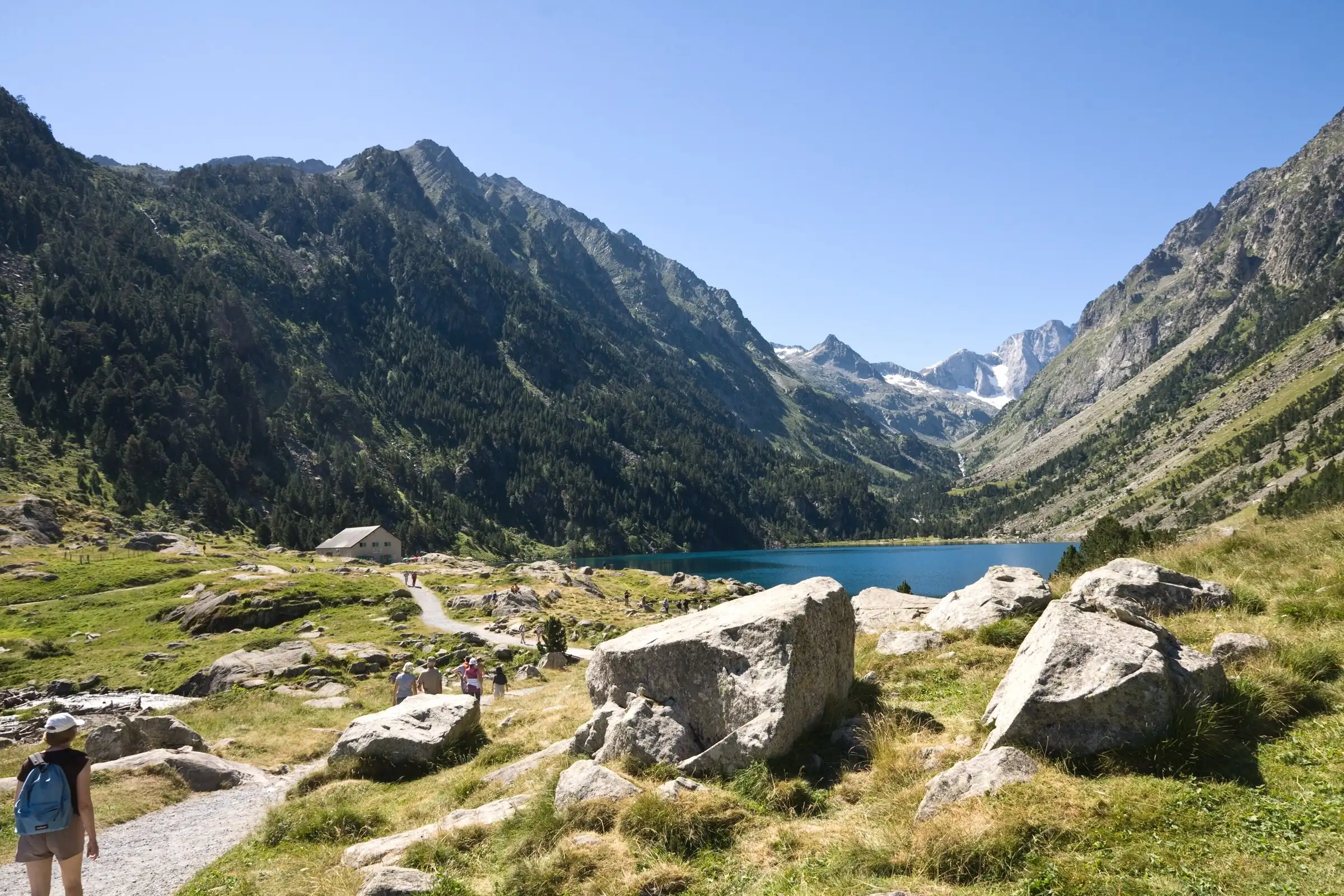
Lac de Gaube from Pont d'Espagne
Pyrenees, Cauterets (65) · Out and backOfficial rating by Vallées de Gavarnie (fiche Geotrek de la CC Pyrénées Vallées des Gaves)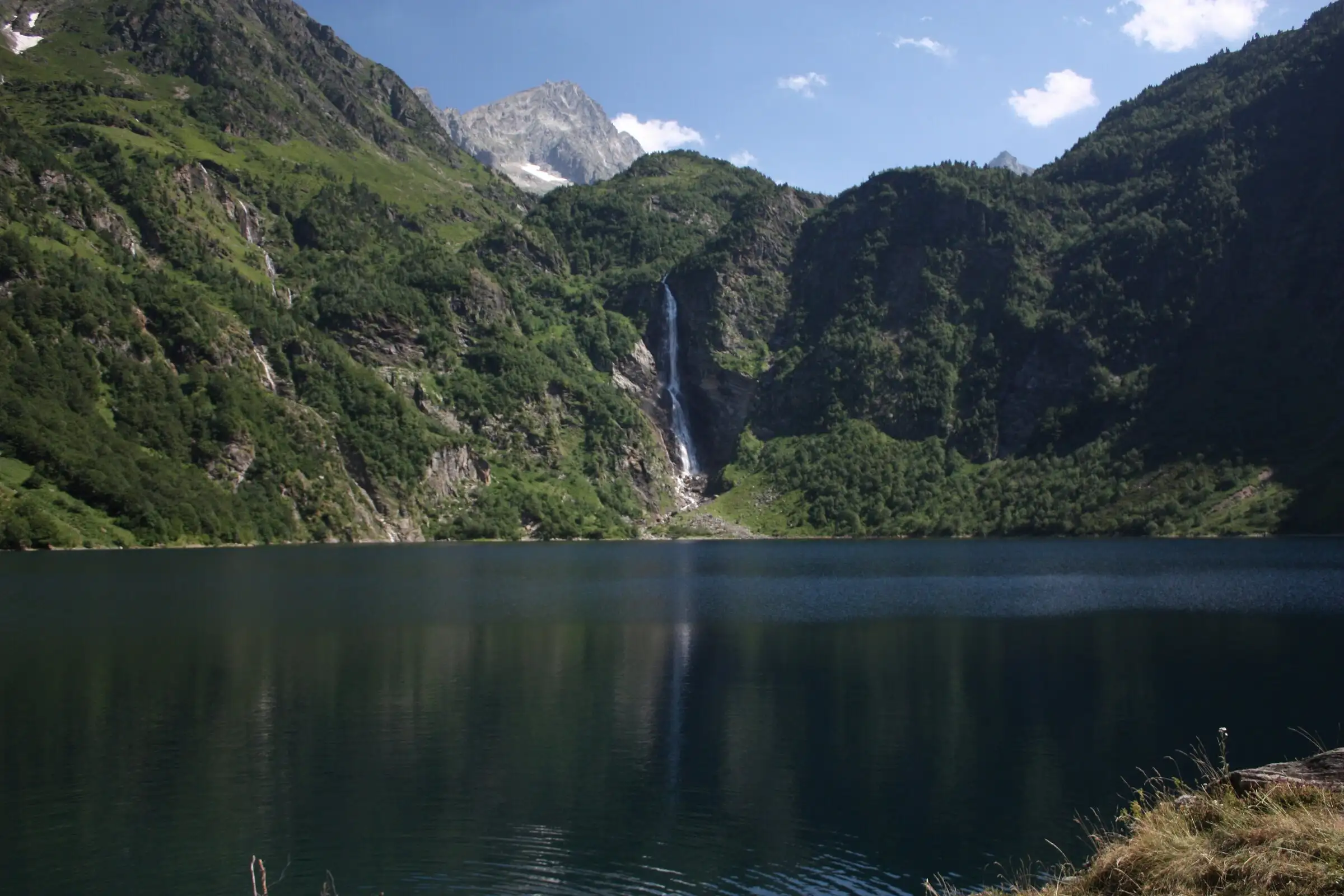
Lac d'Oô from Granges d'Astau
Pyrenees, Oô (31) · Out and backOfficial rating by Haute-Garonne Tourisme (fiche 41, le lac d'Oô)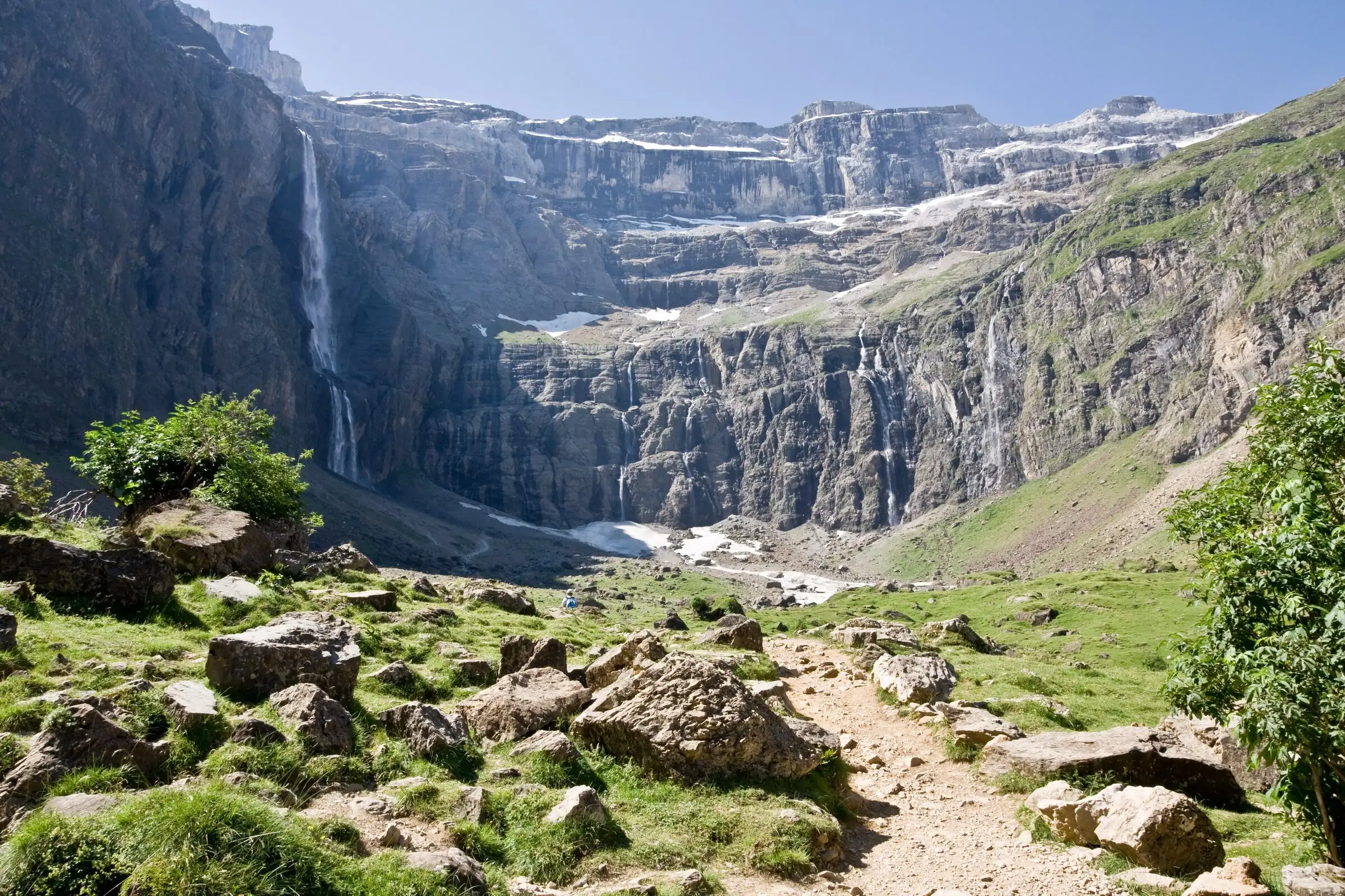
Cirque de Gavarnie via the Espugues ledge path
Pyrenees, Gavarnie-Gèdre (65) · LoopOfficial rating by Vallées de Gavarnie (fiche Geotrek de la CC Pyrénées Vallées des Gaves)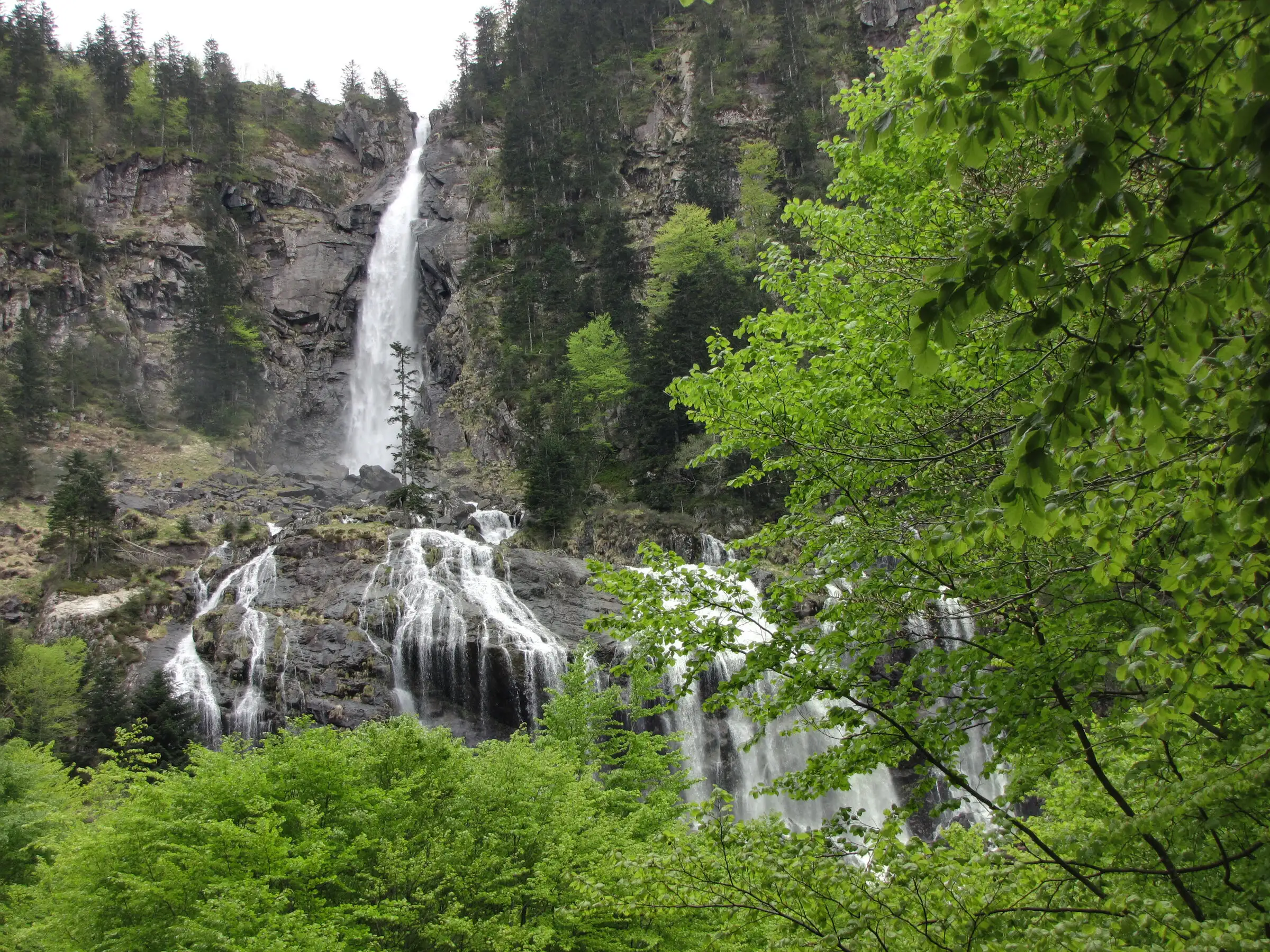
Cascade d'Ars from Aulus-les-Bains
Pyrenees, Aulus-les-Bains (09) · Out and backOfficial rating by CRT Occitanie (seule fiche randonnée officielle trouvée ; la fiche de l'office du Couserans est une fiche trail sans cotation)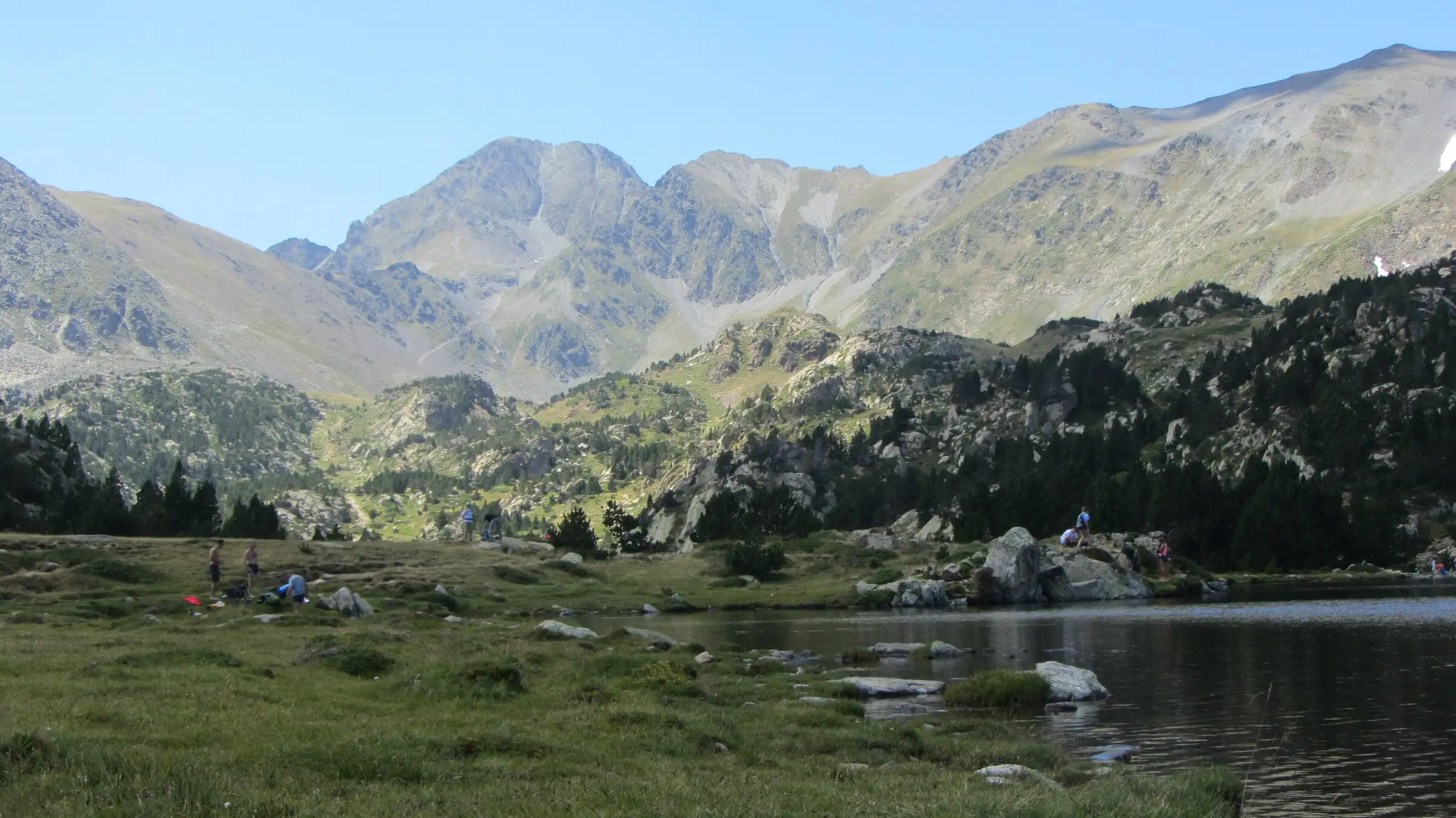
Carlit lakes loop (9 lakes)
Pyrenees, Font-Romeu-Odeillo-Via (66) · LoopOfficial rating by Département des Pyrénées-Orientales (brochure des Bouillouses)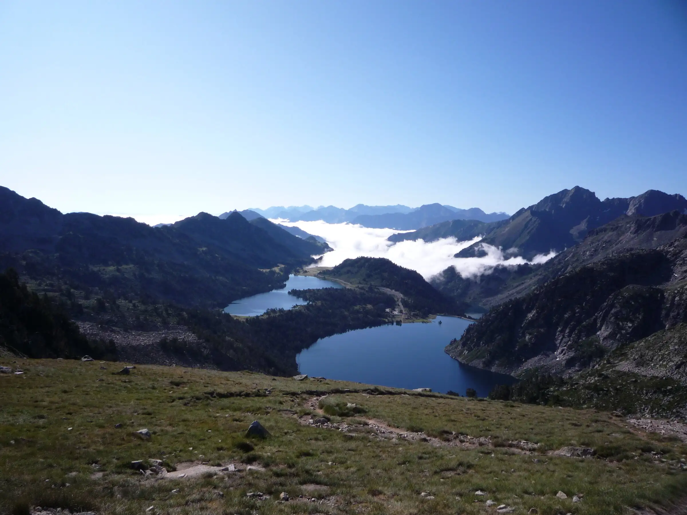
Néouvielle lakes via the Col d'Estoudou
Pyrenees, Saint-Lary-Soulan / Aragnouet (65) · LoopOfficial rating by Office de tourisme de Piau-Engaly (fiche Geotrek Hautes-Pyrénées)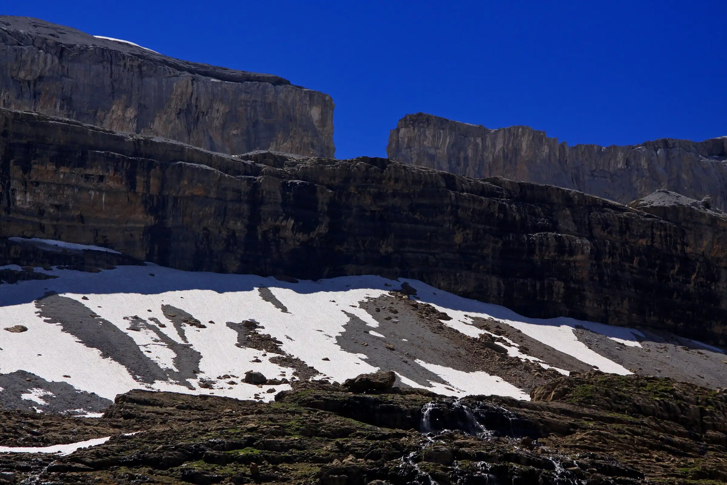
Brèche de Roland from the Col des Tentes
Pyrenees, Gavarnie-Gèdre (65) · Out and backOfficial rating by Vallées de Gavarnie (fiche Geotrek de la CC Pyrénées Vallées des Gaves)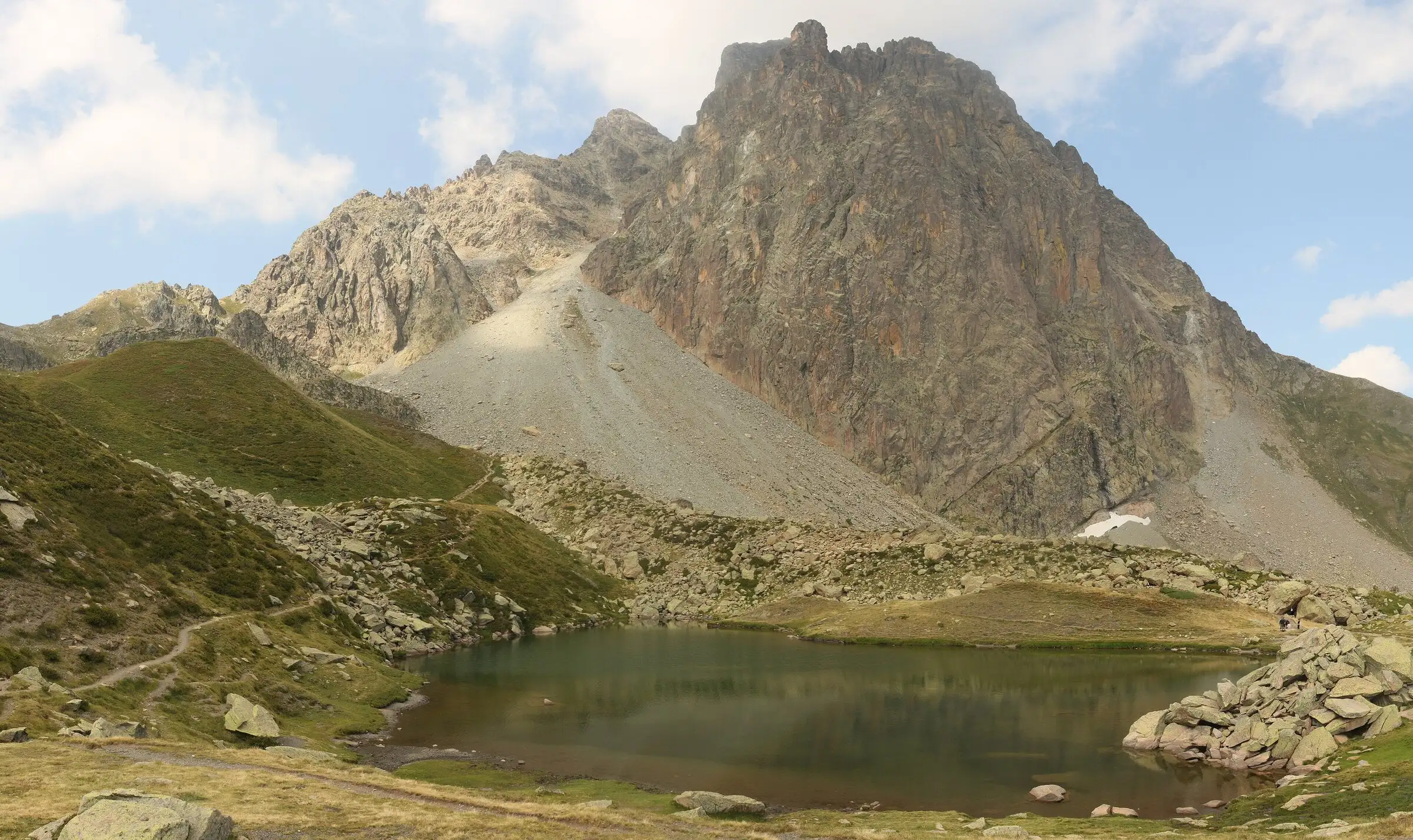
Pic du Midi d'Ossau loop
Pyrenees, Laruns (64) · LoopOfficial rating by Béarn Pyrénées, tourisme64 (site touristique départemental des Pyrénées-Atlantiques)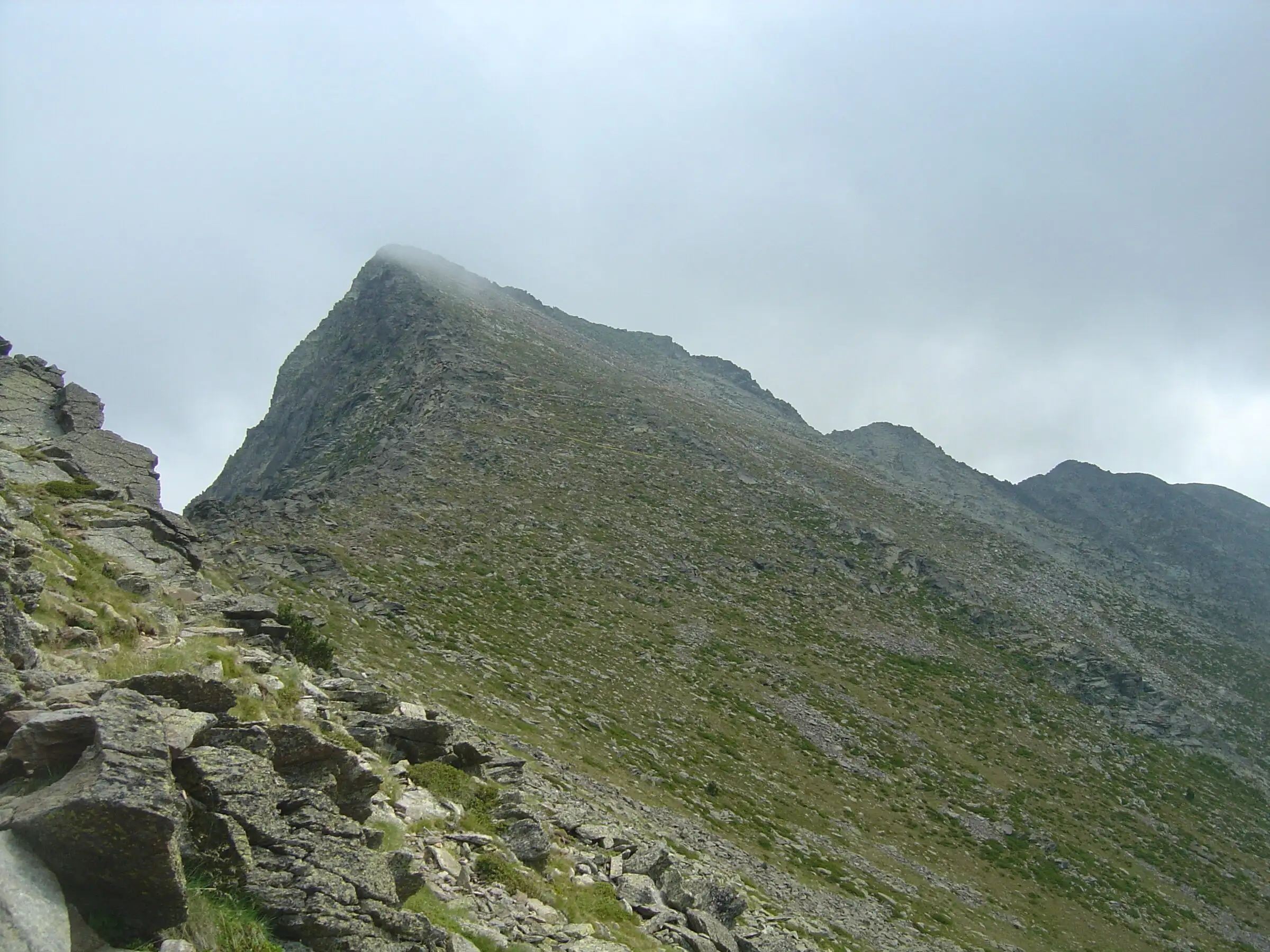
Pic du Canigou via the Cortalets
Pyrenees, Villerach (accès), sommet sur Vernet-les-Bains et Casteil (66) · Out and backOfficial rating by Office de tourisme Conflent Canigó