
GPX tracks in France
5,110 GPX tracks in France, with distance, elevation gain and time for each track. Pick a region on the map, then filter by department, sport, distance, elevation gain and time.
Regions
Pick a region on the map or below. Grey regions have no tracks yet.
Destinations
Mountain ranges, parks and towns: the tracks found there, across regions.
All GPX tracks in France
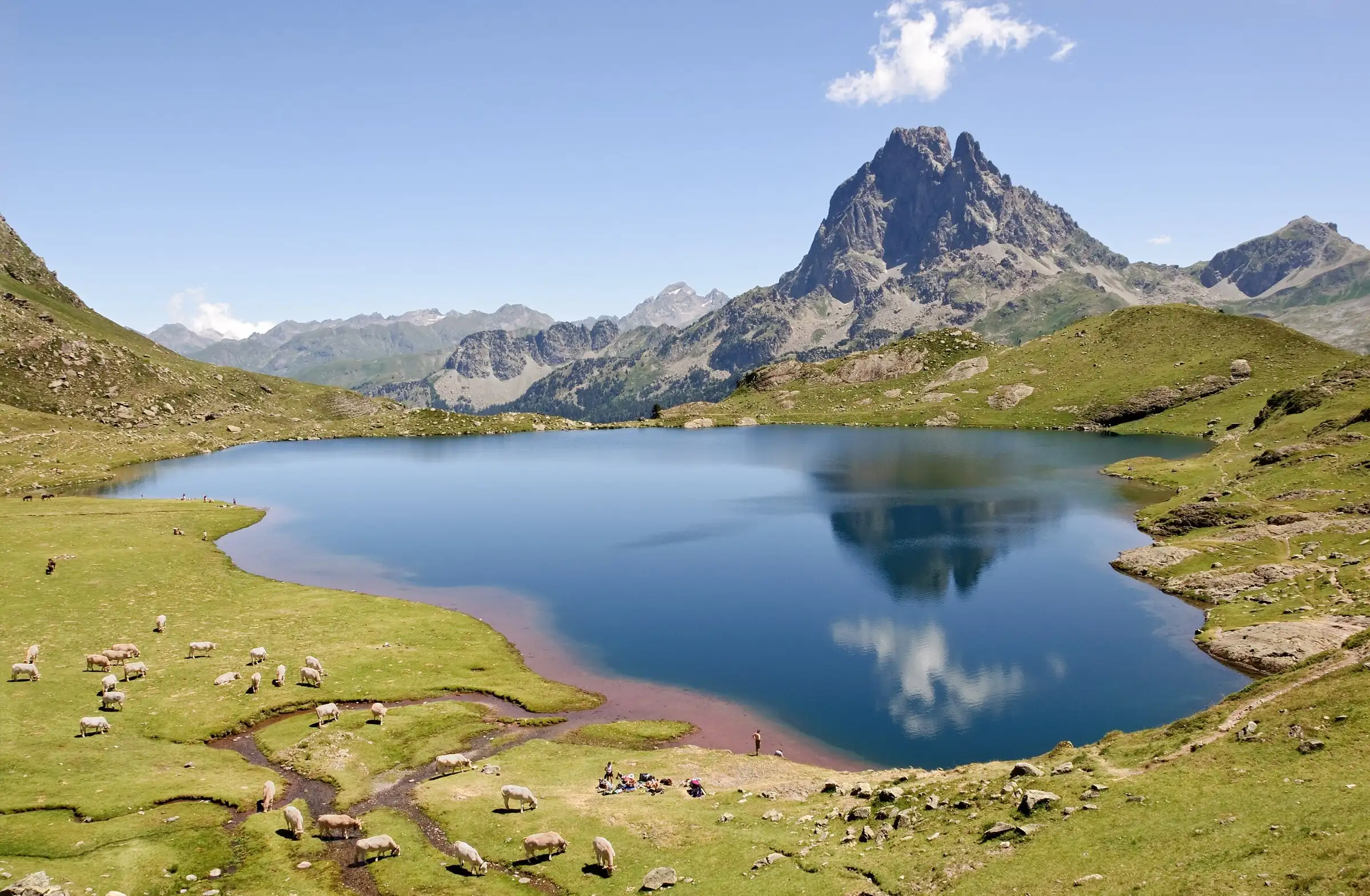

Ayous lakes from Bious-Artigues
Pyrenees, Laruns (64) · Out and backOfficial rating by Béarn Pyrénées, tourisme64 (site touristique départemental des Pyrénées-Atlantiques)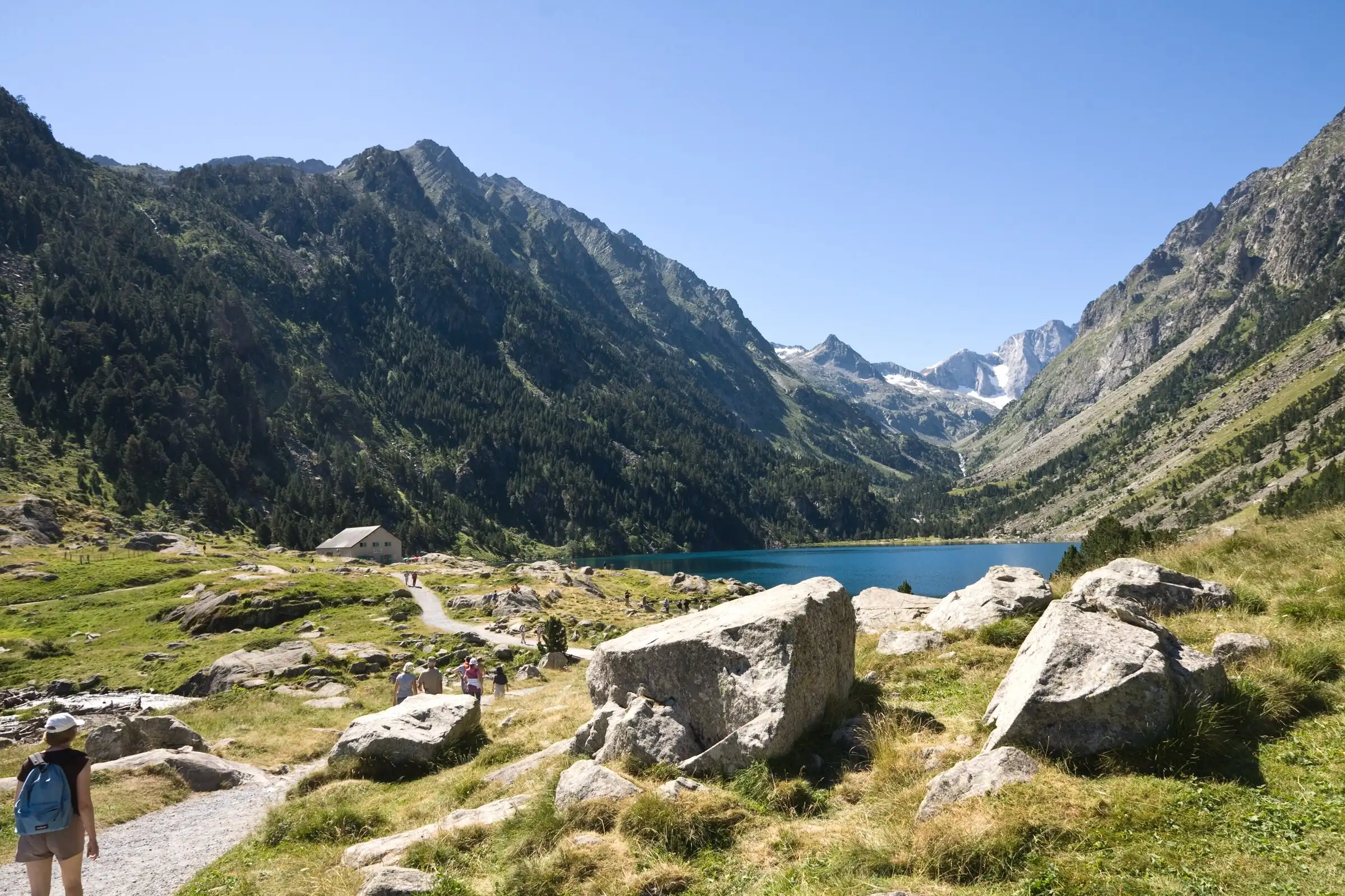
Lac de Gaube from Pont d'Espagne
Pyrenees, Cauterets (65) · Out and backOfficial rating by Vallées de Gavarnie (fiche Geotrek de la CC Pyrénées Vallées des Gaves)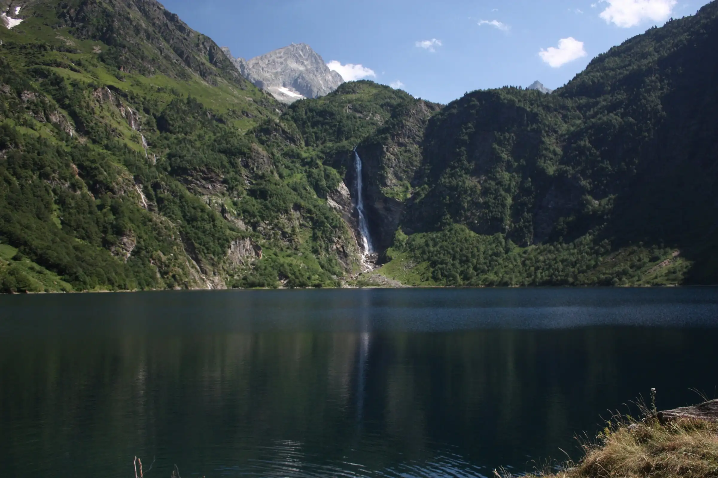
Lac d'Oô from Granges d'Astau
Pyrenees, Oô (31) · Out and backOfficial rating by Haute-Garonne Tourisme (fiche 41, le lac d'Oô)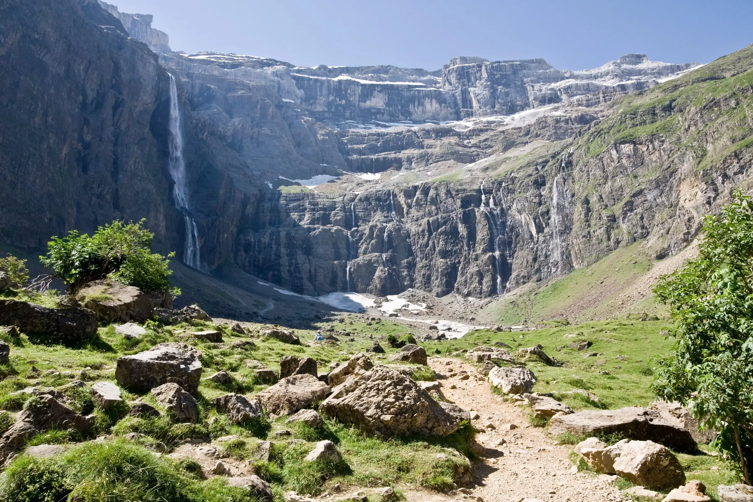
Cirque de Gavarnie via the Espugues ledge path
Pyrenees, Gavarnie-Gèdre (65) · LoopOfficial rating by Vallées de Gavarnie (fiche Geotrek de la CC Pyrénées Vallées des Gaves)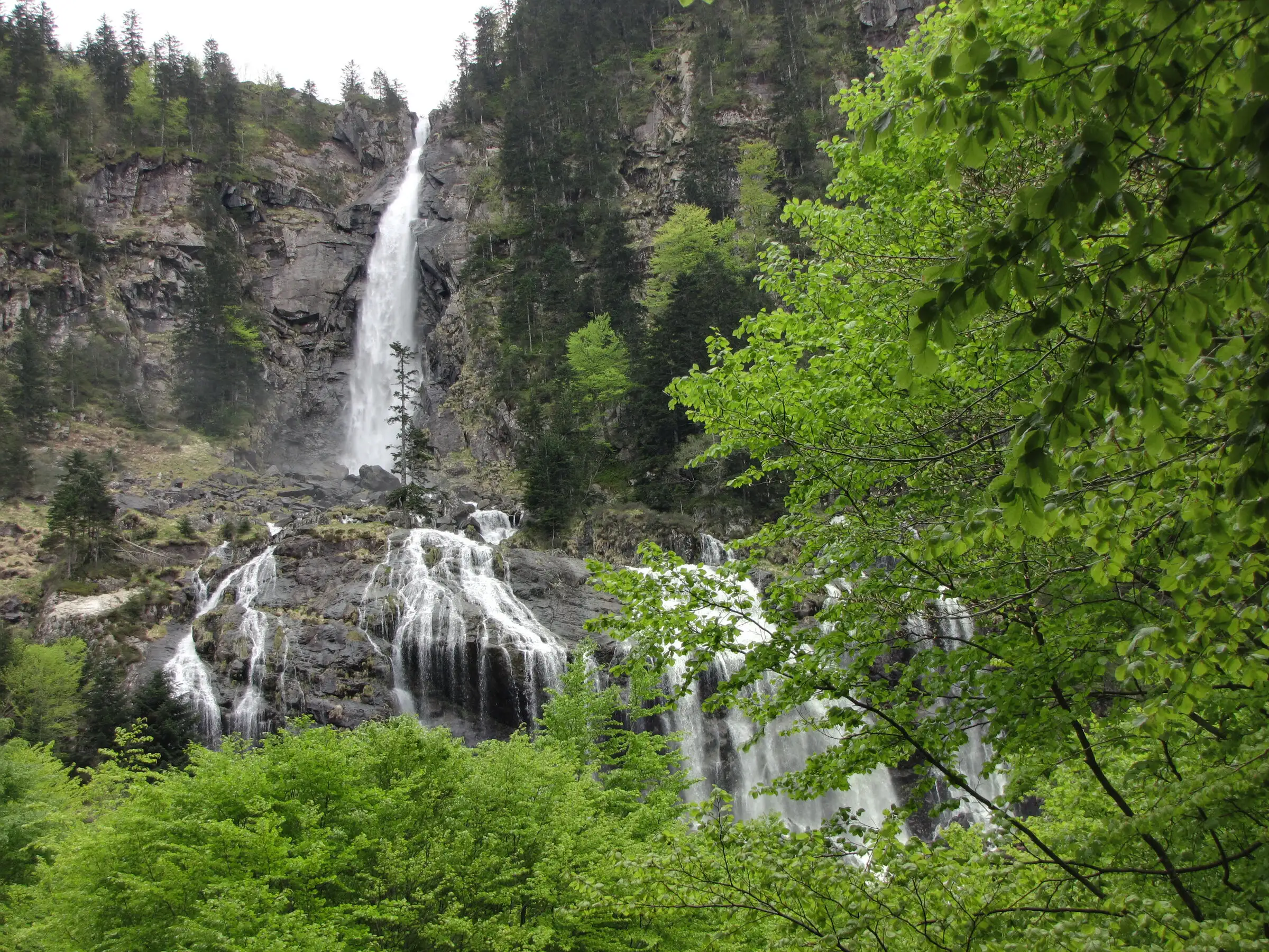
Cascade d'Ars from Aulus-les-Bains
Pyrenees, Aulus-les-Bains (09) · Out and backOfficial rating by CRT Occitanie (seule fiche randonnée officielle trouvée ; la fiche de l'office du Couserans est une fiche trail sans cotation)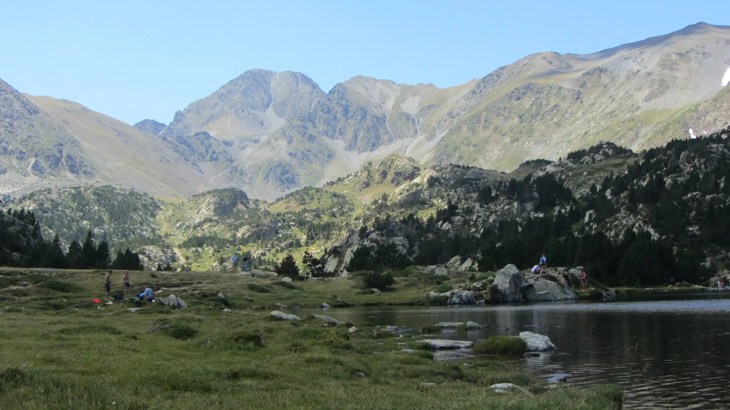
Carlit lakes loop (9 lakes)
Pyrenees, Font-Romeu-Odeillo-Via (66) · LoopOfficial rating by Département des Pyrénées-Orientales (brochure des Bouillouses)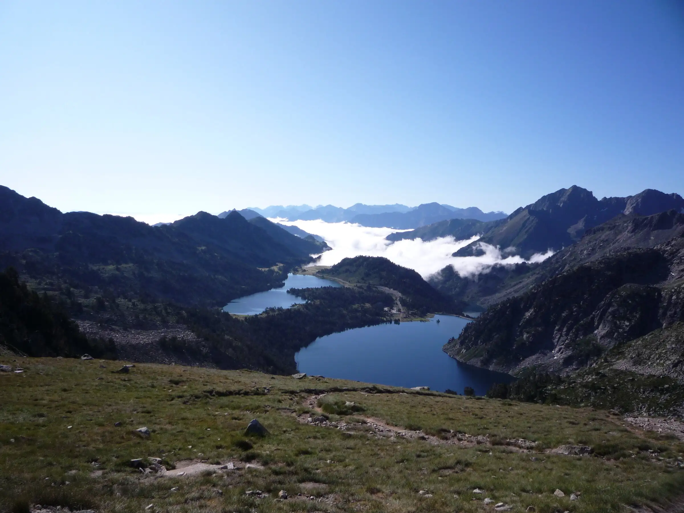
Néouvielle lakes via the Col d'Estoudou
Pyrenees, Saint-Lary-Soulan / Aragnouet (65) · LoopOfficial rating by Office de tourisme de Piau-Engaly (fiche Geotrek Hautes-Pyrénées)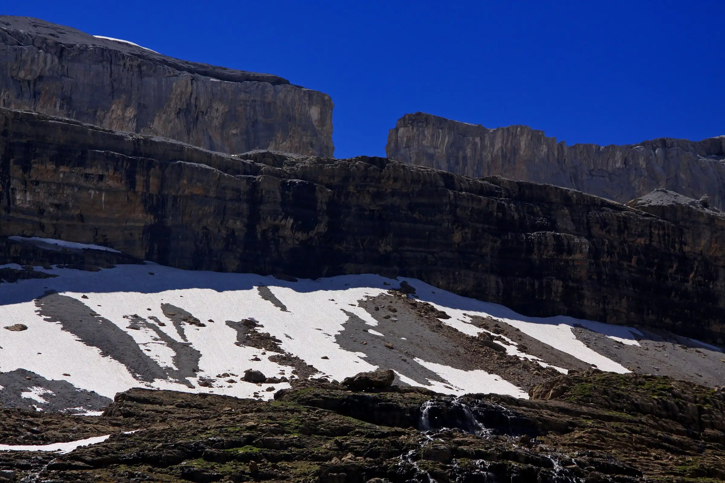
Brèche de Roland from the Col des Tentes
Pyrenees, Gavarnie-Gèdre (65) · Out and backOfficial rating by Vallées de Gavarnie (fiche Geotrek de la CC Pyrénées Vallées des Gaves)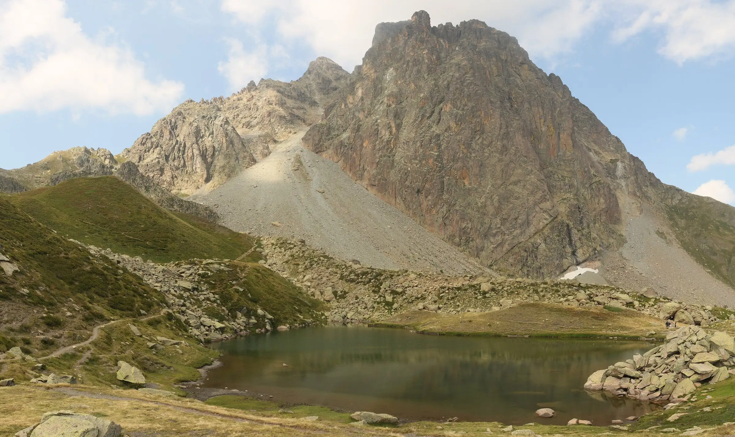
Pic du Midi d'Ossau loop
Pyrenees, Laruns (64) · LoopOfficial rating by Béarn Pyrénées, tourisme64 (site touristique départemental des Pyrénées-Atlantiques)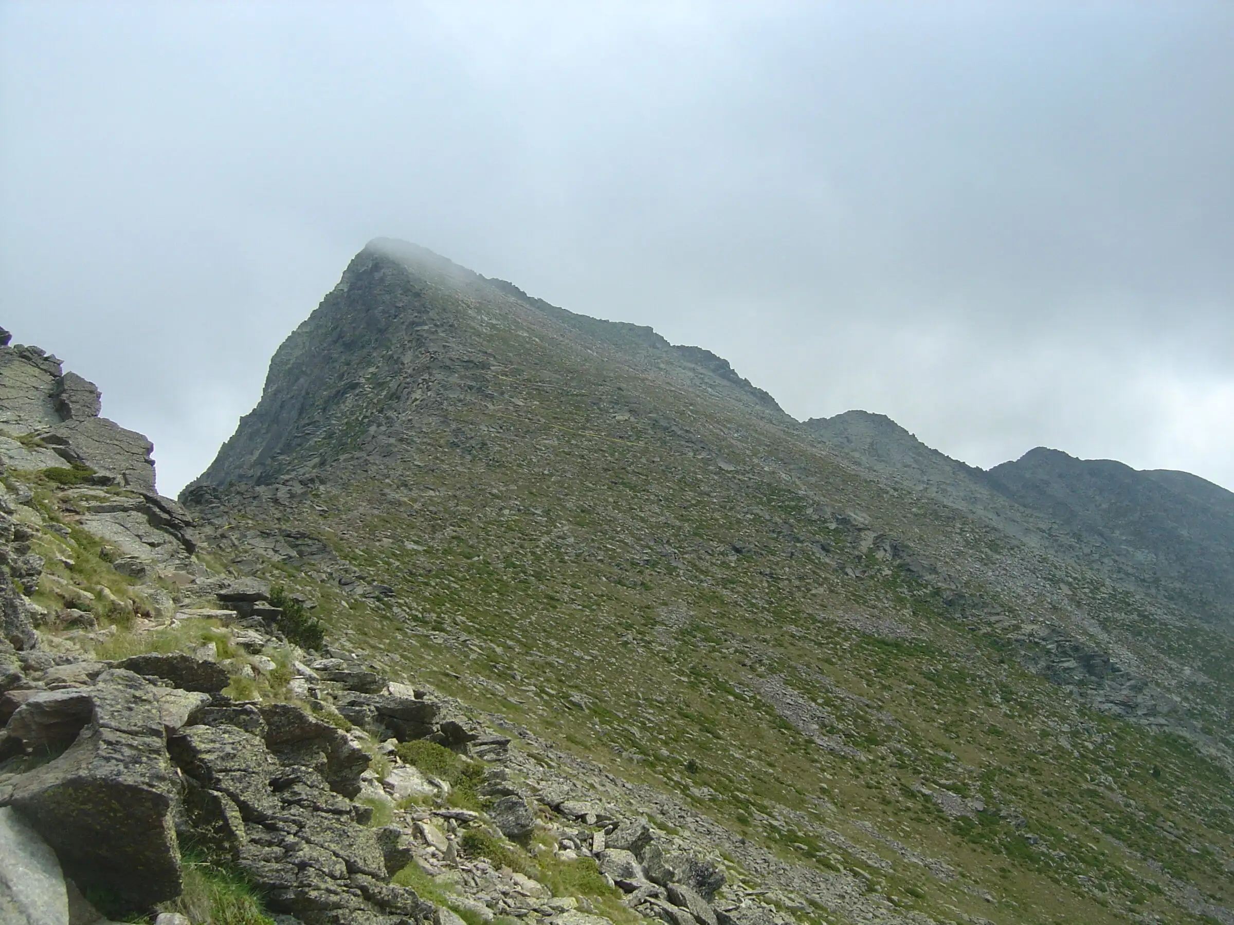
Pic du Canigou via the Cortalets
Pyrenees, Villerach (accès), sommet sur Vernet-les-Bains et Casteil (66) · Out and backOfficial rating by Office de tourisme Conflent Canigó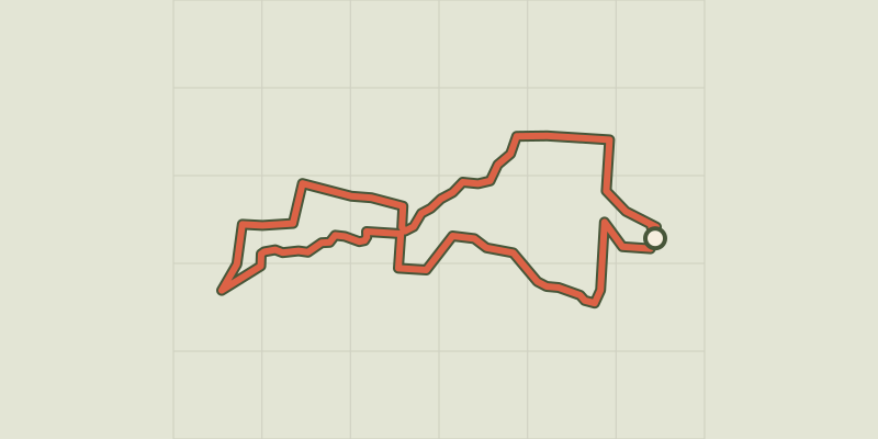 © OpenStreetMap, SRTM · OpenTopoMap (CC-BY-SA)
: La Rotte aux Loups
Pays de la Loire, Vallons-de-l'Erdre (44) · LoopOfficial rating by Département de Loire-Atlantique © OpenStreetMap, SRTM · OpenTopoMap (CC-BY-SA)
"La Grande Verrière"
Pays de la Loire, Montrelais (44) · LoopOfficial rating by Département de Loire-Atlantique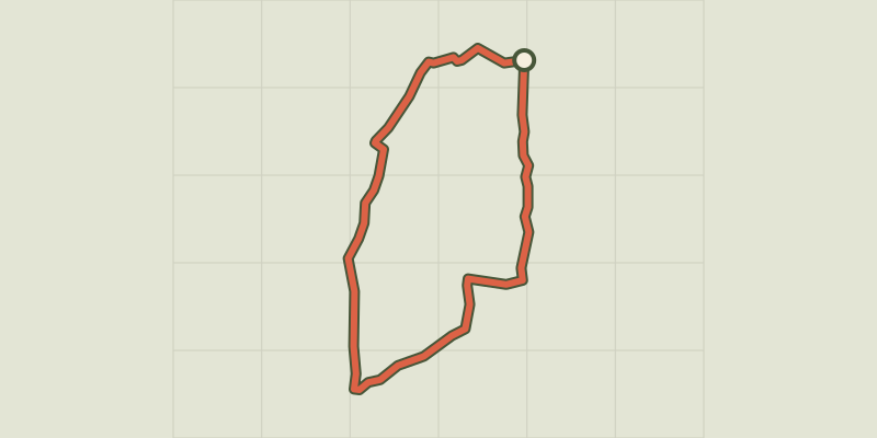 © OpenStreetMap, SRTM · OpenTopoMap (CC-BY-SA)
"le Bois Charette"
Pays de la Loire, Saint-Mars-de-Coutais (44) · LoopOfficial rating by Département de Loire-Atlantique © OpenStreetMap, SRTM · OpenTopoMap (CC-BY-SA)
"le Marais de Grand Lieu"
Pays de la Loire, Saint-Mars-de-Coutais (44) · LoopOfficial rating by Département de Loire-Atlantique © OpenStreetMap, SRTM · OpenTopoMap (CC-BY-SA)
[Sens Action] - Les géants de pierre (the stone giants) and the lion de Salados (lion of Salados)
Provence-Alpes-Côte d'Azur, Chorges (05) · LoopOfficial rating by Parc national des Écrins © OpenStreetMap, SRTM · OpenTopoMap (CC-BY-SA)
[Sens Action] - The thousand waterfalls
Provence-Alpes-Côte d'Azur, Baratier (05) · LoopOfficial rating by Parc national des Écrins
 © OpenStreetMap, SRTM · OpenTopoMap (CC-BY-SA)
17 km - Montauger
Île-de-France, Lisses (91) · Loop
 © OpenStreetMap, SRTM · OpenTopoMap (CC-BY-SA)
21 km - Rougeau
Île-de-France, Savigny-le-Temple (77) · Loop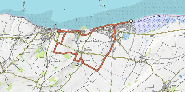 © OpenStreetMap, SRTM · OpenTopoMap (CC-BY-SA)
231e Brigade Britannique
Normandy, Meuvaines (14) · Loop © OpenStreetMap, SRTM · OpenTopoMap (CC-BY-SA)
6 km - St-Eutrope
Île-de-France, Fleury-Mérogis (91) · Loop © OpenStreetMap, SRTM · OpenTopoMap (CC-BY-SA)
69e Brigade Britannique
Normandy, Ver-sur-Mer (14) · Loop
 © OpenStreetMap, SRTM · OpenTopoMap (CC-BY-SA)
À double Sancey
Bourgogne-Franche-Comté, Provenchère (25) · LoopOfficial rating by Département du Doubs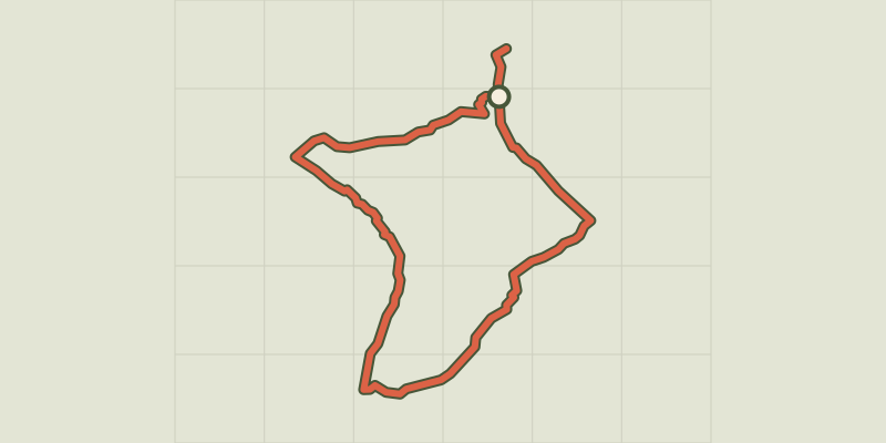 © OpenStreetMap, SRTM · OpenTopoMap (CC-BY-SA)
A fond les vallons
Centre-Val de Loire, Bossée (37) · Loop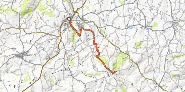 © OpenStreetMap, SRTM · OpenTopoMap (CC-BY-SA)
A l'ascension du Mont Bel Air
Brittany, Moncontour (22) · Point to point