
Belvédère du Peu (Parcours difficile)

Key facts
- Distance
- 8.5 km
- Ascent
- +251 m
- Descent
- −220 m
- Estimated time
- 2 hr 20
- hiking
- Difficulty
- Moderate
- official rating
- Route
- Out and back
- same way back
Official time: 2 h 30 min
Profile and gradient
- under 10%
- 10 to 20%
- over 20%
Gradient along the route: 7.6 km under 10%, 0.4 km at 10 to 20% and 0.4 km over 20%. Elevation from 717 m to 850 m over 8.5 km.
Difficulty
Official rating: moderate, by Département du Doubs.
Getting there
Start: Terrain de tennis de Laviron, Laviron (25).
Sources
- Track: Département du Doubs (explore.doubs.fr), ODbL, ODbL 1.0 (explore.doubs.fr/trek/290-Belvedere-du-Peu-(Parcours-difficile)). Time estimated by GPX Path with the Mac app rule, breaks not included.
- Official time: 2 h 30 min, explore.doubs.fr
- Official elevation gain: 251 m, Département du Doubs
Nearby tracks

 © OpenStreetMap, SRTM · OpenTopoMap (CC-BY-SA)
Belvédère du Peu (Parcours facile)
Bourgogne-Franche-Comté, Laviron (25) · LoopOfficial rating by Département du Doubs © OpenStreetMap, SRTM · OpenTopoMap (CC-BY-SA)
Autour de Surmont
Bourgogne-Franche-Comté, Surmont (25) · LoopOfficial rating by Département du Doubs © OpenStreetMap, SRTM · OpenTopoMap (CC-BY-SA)
Sentier historique de Belvoir
Bourgogne-Franche-Comté, Sancey (25) · LoopOfficial rating by Département du Doubs © OpenStreetMap, SRTM · OpenTopoMap (CC-BY-SA)
Belvédère du Dard
Bourgogne-Franche-Comté, Sancey (25) · LoopOfficial rating by Département du Doubs © OpenStreetMap, SRTM · OpenTopoMap (CC-BY-SA)
Crêtes
Bourgogne-Franche-Comté, Pierrefontaine-les-Varans (25) · LoopOfficial rating by Département du Doubs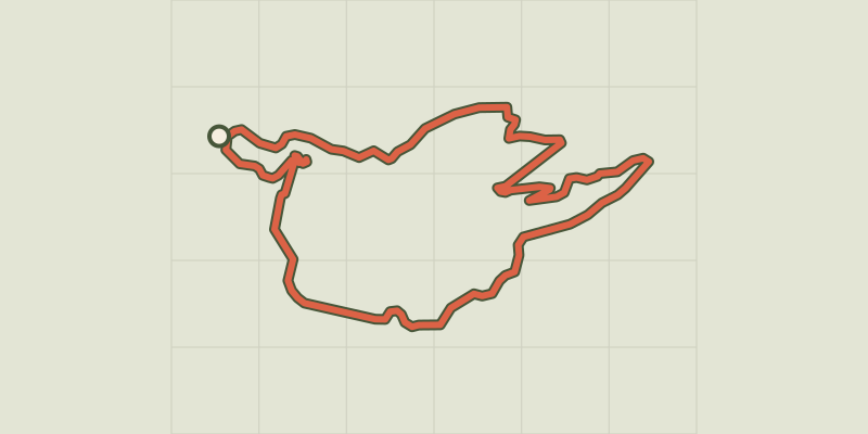 © OpenStreetMap, SRTM · OpenTopoMap (CC-BY-SA)
Vautran
Bourgogne-Franche-Comté, Pierrefontaine-les-Varans (25) · LoopOfficial rating by Département du Doubs