
Sentier des Remparts

Key facts
- Distance
- 3.6 km
- Ascent
- +172 m
- Descent
- −153 m
- Estimated time
- 1 hr 10
- hiking
- Difficulty
- Easy
- official rating
- Route
- Loop
- back to the start
Official time: 1 h 30 min
Profile and gradient
- under 10%
- 10 to 20%
- over 20%
Gradient along the route: 2.3 km under 10% and 1.3 km at 10 to 20%. Elevation from 339 m to 484 m over 3.6 km.
Difficulty
Official rating: easy, by Département du Doubs.
Getting there
Start: Parking du Castel, Scey-Maisières, Scey-Maisières (25).
Sources
- Track: Département du Doubs (explore.doubs.fr), ODbL, ODbL 1.0 (explore.doubs.fr/trek/1987-Sentier-des-Remparts). Time estimated by GPX Path with the Mac app rule, breaks not included.
- Official time: 1 h 30 min, explore.doubs.fr
- Official elevation gain: 172 m, Département du Doubs
Nearby tracks

 © OpenStreetMap, SRTM · OpenTopoMap (CC-BY-SA)
Sentier Courbet 7 : L'école de la nature
Bourgogne-Franche-Comté, Ornans (25) · LoopOfficial rating by Département du Doubs © OpenStreetMap, SRTM · OpenTopoMap (CC-BY-SA)
Castel-Saint-Denis
Bourgogne-Franche-Comté, Chassagne-Saint-Denis (25) · LoopOfficial rating by Département du Doubs © OpenStreetMap, SRTM · OpenTopoMap (CC-BY-SA)
Boucle du Moine
Bourgogne-Franche-Comté, Cléron (25) · LoopOfficial rating by Département du Doubs © OpenStreetMap, SRTM · OpenTopoMap (CC-BY-SA)
Saut de Bonneille
Bourgogne-Franche-Comté, Ornans (25) · LoopOfficial rating by Département du Doubs © OpenStreetMap, SRTM · OpenTopoMap (CC-BY-SA)
Sentier Courbet 6 : Le Ravin du Puits Noir, l'atelier en nature
Bourgogne-Franche-Comté, Scey-Maisières (25) · LoopOfficial rating by Département du Doubs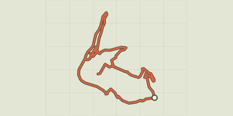 © OpenStreetMap, SRTM · OpenTopoMap (CC-BY-SA)
Puits de la Brême
Bourgogne-Franche-Comté, Ornans (25) · LoopOfficial rating by Département du Doubs