
Chemin des Chênes

Key facts
- Distance
- 13.8 km
- Ascent
- +199 m
- Descent
- −153 m
- Estimated time
- 3 hr 25
- hiking
- Difficulty
- Moderate
- official rating
- Route
- Loop
- back to the start
Official time: 4 h 30 min
Profile and gradient
- under 10%
- 10 to 20%
- over 20%
Gradient along the route: 13.8 km under 10%. Elevation from 62 m to 139 m over 13.8 km.
Description
Difficulty
Official rating: moderate, by Département des Côtes d'Armor.
Getting there
Start: Quessoy, Quessoy (22).
Sources
- Track: Département des Côtes d'Armor, PDIPR, Licence Ouverte 2.0, Licence Ouverte 2.0 (Etalab) (rando.cotesdarmor.fr/pedestre/chemin-des-chenes/). Time estimated by GPX Path with the Mac app rule, breaks not included.
- Official time: 4 h 30 min, rando.cotesdarmor.fr
- Official elevation gain: 199 m, Département des Côtes d'Armor
Nearby tracks
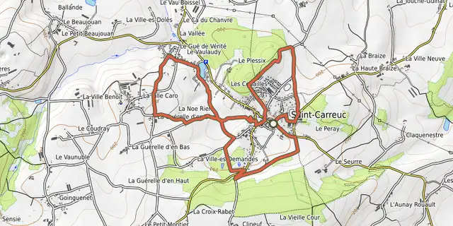
 © OpenStreetMap, SRTM · OpenTopoMap (CC-BY-SA)
Balade au bourg de paille
Brittany, Saint-Carreuc (22) · LoopOfficial rating by Département des Côtes d'Armor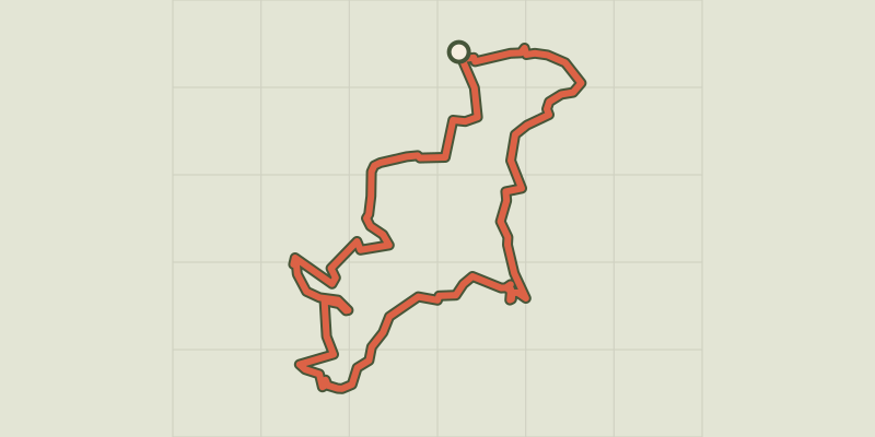 © OpenStreetMap, SRTM · OpenTopoMap (CC-BY-SA)
Sous le Sceau de Boishardy
Brittany, Bréhand (22) · LoopOfficial rating by Département des Côtes d'Armor © OpenStreetMap, SRTM · OpenTopoMap (CC-BY-SA)
Circuit de la Planchette
Brittany, Bréhand (22) · LoopOfficial rating by Département des Côtes d'Armor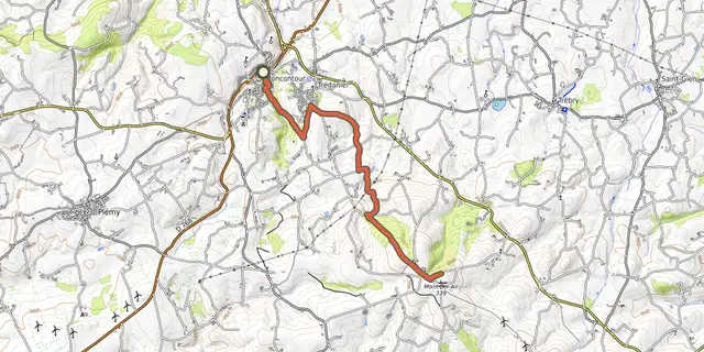 © OpenStreetMap, SRTM · OpenTopoMap (CC-BY-SA)
A l'ascension du Mont Bel Air
Brittany, Moncontour (22) · Point to point © OpenStreetMap, SRTM · OpenTopoMap (CC-BY-SA)
Le cri de la chouette
Brittany, Plémy (22) · LoopOfficial rating by Département des Côtes d'Armor © OpenStreetMap, SRTM · OpenTopoMap (CC-BY-SA)
Au Pays de Saint-Guihen
Brittany, Landéhen (22) · LoopOfficial rating by Département des Côtes d'Armor