
Du port de Tréhiguier à la baie de Pont-Mahé

Key facts
- Distance
- 20.5 km
- Ascent
- +73 m
- Descent
- −61 m
- Estimated time
- 55 min
- road cycling
- Difficulty
- Not rated
- Route
- Point to point
- ends elsewhere
Official time: 1 h 30 min
Profile and gradient
- under 10%
- 10 to 20%
- over 20%
Gradient along the route: 20.5 km under 10%. Elevation from 3 m to 20 m over 20.5 km.
Difficulty
No official rating for this track: we do not make one up.
Getting there
Start: ASSERAC, Pénestin (56).
Sources
- Track: Cap Atlantique, La Baule-Guérande Agglo, Licence Ouverte 2.0, Licence Ouverte 2.0 (Etalab) (www.labaule-guerande.com/du-port-de-trehiguier-a-la-pointe-de-pen-be-itineraire.html?origine_affinage=true&mid=6&action=result&origine_affinage=true). Time estimated by GPX Path with the Mac app rule, breaks not included.
- Official time: 1 h 30 min, labaule-guerande.com
Nearby tracks
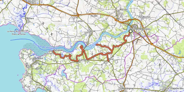
 © OpenStreetMap, SRTM · OpenTopoMap (CC-BY-SA)
De la Vilaine aux bouchots
Brittany, Férel (56) · Point to point © OpenStreetMap, SRTM · OpenTopoMap (CC-BY-SA)
V42_Arzal - Dinan via Rennes
Brittany, Férel (56) · Point to point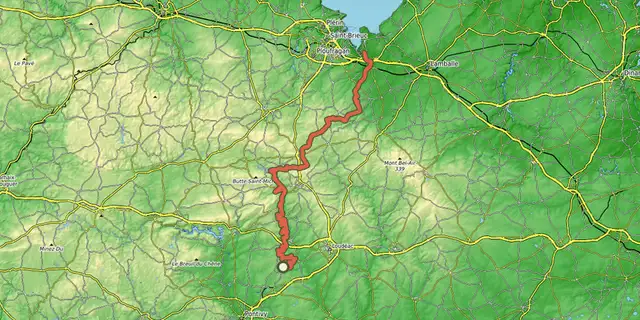 © OpenStreetMap, SRTM · OpenTopoMap (CC-BY-SA)
V408 Saint-Brieuc Lorient
Brittany, Saint-Gérand-Croixanvec (56) · Point to point © OpenStreetMap, SRTM · OpenTopoMap (CC-BY-SA)
EV1 - La Vélodyssée®
Brittany, Carhaix-Plouguer (29) · Point to point © OpenStreetMap, SRTM · OpenTopoMap (CC-BY-SA)
V406 - La Trans- Armorique - L'ancienne Voie Ferrée du Centre Bretagne
Brittany, Carhaix-Plouguer (29) · Point to point © OpenStreetMap, SRTM · OpenTopoMap (CC-BY-SA)
EV4 - La Vélomaritime® - section 5/5
Brittany, Pléneuf-Val-André (22) · Out and backOfficial rating by Département des Côtes d'Armor