
Au fil de l’eau

Key facts
- Distance
- 16.3 km
- Ascent
- +85 m
- Descent
- −85 m
- Estimated time
- 50 min
- road cycling
- Difficulty
- Not rated
- Route
- Loop
- back to the start
Profile and gradient
- under 10%
- 10 to 20%
- over 20%
Gradient along the route: 16.3 km under 10%. Elevation from 37 m to 110 m over 16.3 km.
Difficulty
No official rating for this track: we do not make one up.
Getting there
Start: Rivarennes, Bréhémont (37).
Sources
- Track: Région Centre-Val de Loire, boucles cyclo, Licence Ouverte 2.0, Licence Ouverte 2.0 (Etalab) (data.centrevaldeloire.fr/explore/dataset/cyclotourisme-boucles-cyclo/). Time estimated by GPX Path with the Mac app rule, breaks not included.
Nearby tracks

 © OpenStreetMap, SRTM · OpenTopoMap (CC-BY-SA)
De port en port
Centre-Val de Loire, Bréhémont (37) · Loop © OpenStreetMap, SRTM · OpenTopoMap (CC-BY-SA)
Entre val et coteau
Centre-Val de Loire, Coteaux-sur-Loire (37) · Loop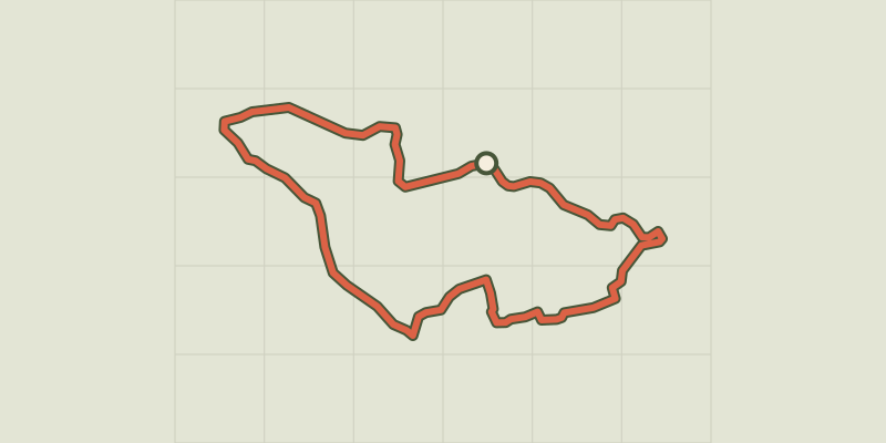 © OpenStreetMap, SRTM · OpenTopoMap (CC-BY-SA)
D'Art et d'Argile
Centre-Val de Loire, Langeais (37) · Loop © OpenStreetMap, SRTM · OpenTopoMap (CC-BY-SA)
La Belle au Bois Dormant
Centre-Val de Loire, Rigny-Ussé (37) · Loop © OpenStreetMap, SRTM · OpenTopoMap (CC-BY-SA)
Grands crus et belles demeures
Centre-Val de Loire, Benais (37) · Loop © OpenStreetMap, SRTM · OpenTopoMap (CC-BY-SA)
Confluence Loire et Cher
Centre-Val de Loire, Berthenay (37) · Loop