
Hiking GPX tracks in Centre-Val de Loire (page 6)
158 GPX tracks in Centre-Val de Loire, with distance, elevation gain and time for each track. Filter by department, sport, distance, elevation gain and time.
All GPX tracks in Centre-Val de Loire

 © OpenStreetMap, SRTM · OpenTopoMap (CC-BY-SA)
Les Veillas
Centre-Val de Loire, Dhuizon (41) · Loop © OpenStreetMap, SRTM · OpenTopoMap (CC-BY-SA)
Loire
Centre-Val de Loire, Saint-Pierre-des-Corps (37) · LoopOfficial rating by Tours Métropole Val de Loire © OpenStreetMap, SRTM · OpenTopoMap (CC-BY-SA)
Loire et Cher
Centre-Val de Loire, Saint-Pierre-des-Corps (37) · LoopOfficial rating by Tours Métropole Val de Loire © OpenStreetMap, SRTM · OpenTopoMap (CC-BY-SA)
Loup y es-tu ?
Centre-Val de Loire, Luzeret (36) · Loop © OpenStreetMap, SRTM · OpenTopoMap (CC-BY-SA)
Luxuriances marécageuses
Centre-Val de Loire, Sainte-Gemme (36) · Loop © OpenStreetMap, SRTM · OpenTopoMap (CC-BY-SA)
Moulin Cavier
Centre-Val de Loire, Saint-Laurent-Nouan (41) · Loop © OpenStreetMap, SRTM · OpenTopoMap (CC-BY-SA)
Moulin de Gauchère
Centre-Val de Loire, Montrieux-en-Sologne (41) · Loop © OpenStreetMap, SRTM · OpenTopoMap (CC-BY-SA)
Par la voie verte
Centre-Val de Loire, Rivarennes (36) · Loop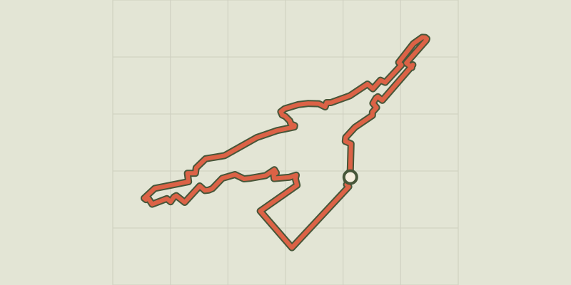 © OpenStreetMap, SRTM · OpenTopoMap (CC-BY-SA)
Parcours des fontaines
Centre-Val de Loire, Blois (41) · Loop © OpenStreetMap, SRTM · OpenTopoMap (CC-BY-SA)
Parcours du Porc Epic
Centre-Val de Loire, Blois (41) · Loop © OpenStreetMap, SRTM · OpenTopoMap (CC-BY-SA)
Parcours La Fleur de Lys
Centre-Val de Loire, Blois (41) · Loop © OpenStreetMap, SRTM · OpenTopoMap (CC-BY-SA)
Parcours Les Flèches Saint Nicolas
Centre-Val de Loire, Blois (41) · Loop © OpenStreetMap, SRTM · OpenTopoMap (CC-BY-SA)
Petit circuit des eaux
Centre-Val de Loire, Saint-Denis-sur-Loire (41) · Loop © OpenStreetMap, SRTM · OpenTopoMap (CC-BY-SA)
Rain de la forêt
Centre-Val de Loire, Mont-près-Chambord (41) · Loop © OpenStreetMap, SRTM · OpenTopoMap (CC-BY-SA)
Saint Genouph
Centre-Val de Loire, Saint-Genouph (37) · LoopOfficial rating by Tours Métropole Val de Loire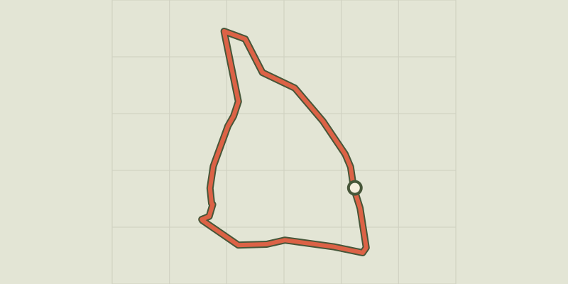 © OpenStreetMap, SRTM · OpenTopoMap (CC-BY-SA)
Saint-Caprais
Centre-Val de Loire, Yvoy-le-Marron (41) · Loop © OpenStreetMap, SRTM · OpenTopoMap (CC-BY-SA)
Sentier bord de Loire
Centre-Val de Loire, Tours (37) · Point to pointOfficial rating by Tours Métropole Val de Loire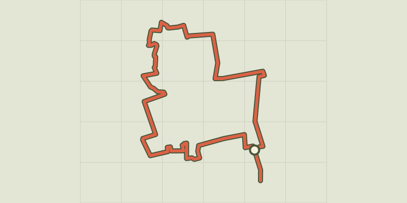 © OpenStreetMap, SRTM · OpenTopoMap (CC-BY-SA)
Sentier cœur de ville
Centre-Val de Loire, Tours (37) · Point to pointOfficial rating by Tours Métropole Val de Loire © OpenStreetMap, SRTM · OpenTopoMap (CC-BY-SA)
Sentier de l'échappée verte
Centre-Val de Loire, Joué-lès-Tours (37) · LoopOfficial rating by Tours Métropole Val de Loire © OpenStreetMap, SRTM · OpenTopoMap (CC-BY-SA)
Sentier de la Bedoire
Centre-Val de Loire, Rochecorbon (37) · LoopOfficial rating by Tours Métropole Val de Loire © OpenStreetMap, SRTM · OpenTopoMap (CC-BY-SA)
Sentier de la Grotte aux Fées
Centre-Val de Loire, Mettray (37) · LoopOfficial rating by Tours Métropole Val de Loire © OpenStreetMap, SRTM · OpenTopoMap (CC-BY-SA)
Sentier de la Parcillonne nord
Centre-Val de Loire, Rochecorbon (37) · Point to pointOfficial rating by Tours Métropole Val de Loire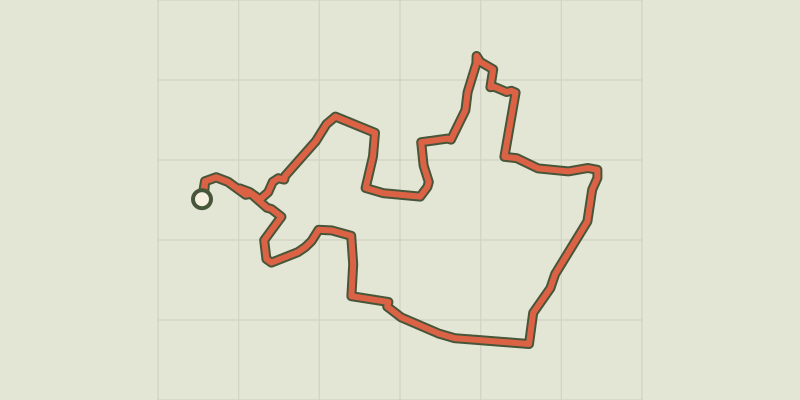 © OpenStreetMap, SRTM · OpenTopoMap (CC-BY-SA)
Sentier de la Parcillonne nord
Centre-Val de Loire, Parçay-Meslay (37) · LoopOfficial rating by Tours Métropole Val de Loire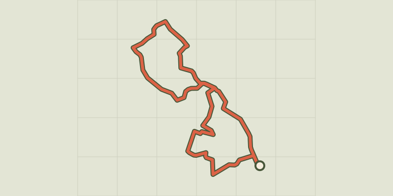 © OpenStreetMap, SRTM · OpenTopoMap (CC-BY-SA)
Sentier de la Petite Choisille
Centre-Val de Loire, La Membrolle-sur-Choisille (37) · LoopOfficial rating by Tours Métropole Val de Loire