
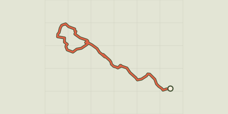
La haute vallée de l'Eure - boucle n°3
Key facts
- Distance
- 20.2 km
- Ascent
- +20 m
- Descent
- −23 m
- Estimated time
- 50 min
- road cycling
- Difficulty
- Easy
- official rating
- Route
- Point to point
- ends elsewhere
Official time: 2 h 30 min
Profile and gradient
- under 10%
- 10 to 20%
- over 20%
Gradient along the route: 20.2 km under 10%. Elevation from 144 m to 170 m over 20.2 km.
Description
Difficulty
Official rating: easy, by Conseil départemental d'Eure-et-Loir et Eure-et-Loir Tourisme.
Getting there
Start: FONTENAY-SUR-EURE, Fontenay-sur-Eure (28).
Sources
- Track: Conseil départemental d'Eure-et-Loir, Licence Ouverte 2.0, Licence Ouverte 2.0 (Etalab) (data.eurelien.fr/explore/dataset/circuits-de-randonnee-a-velo-en-eure-et-loir/). Time estimated by GPX Path with the Mac app rule, breaks not included.
- Official time: 2 h 30 min, data.eurelien.fr
Nearby tracks
 © OpenStreetMap, SRTM · OpenTopoMap (CC-BY-SA)
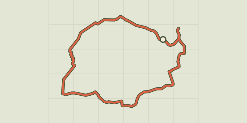
Au fil de l'Eure et des étangs - boucle n°2
Centre-Val de Loire, Barjouville (28) · LoopOfficial rating by Conseil départemental d'Eure-et-Loir et Eure-et-Loir Tourisme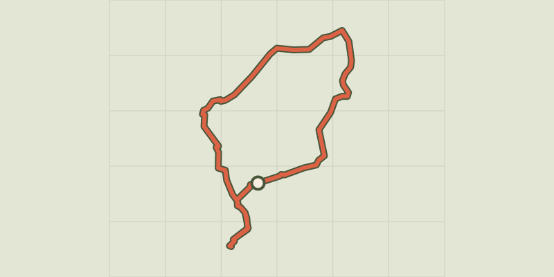 © OpenStreetMap, SRTM · OpenTopoMap (CC-BY-SA)
Chartres et la vallée de l'Eure - boucle n°1
Centre-Val de Loire, Chartres (28) · LoopOfficial rating by Conseil départemental d'Eure-et-Loir et Eure-et-Loir Tourisme © OpenStreetMap, SRTM · OpenTopoMap (CC-BY-SA)
Chartres et la Vallée de l'Eure
Centre-Val de Loire, Champhol (28) · Loop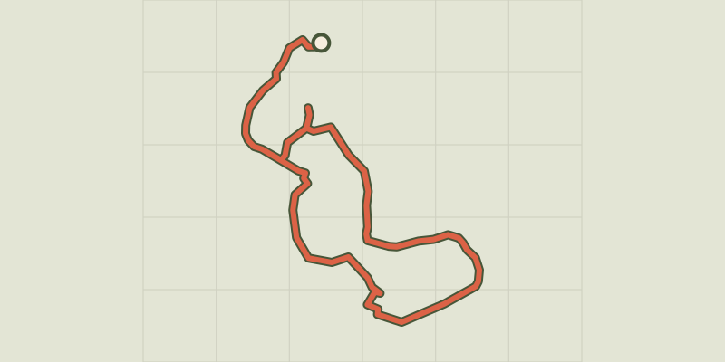 © OpenStreetMap, SRTM · OpenTopoMap (CC-BY-SA)
Sur la route de trompe-souris - boucle n°24
Centre-Val de Loire, Bonneval (28) · LoopOfficial rating by Conseil départemental d'Eure-et-Loir et Eure-et-Loir Tourisme © OpenStreetMap, SRTM · OpenTopoMap (CC-BY-SA)
Sur la route de Trompe-souris
Centre-Val de Loire, Saint-Maur-sur-le-Loir (28) · Loop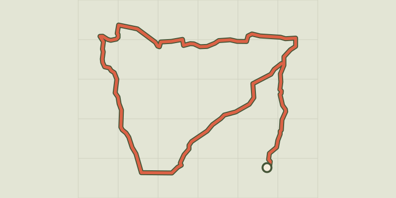 © OpenStreetMap, SRTM · OpenTopoMap (CC-BY-SA)
Epis et colombages en Perche-Gouet - boucle n°9
Centre-Val de Loire, Brou (28) · LoopOfficial rating by Conseil départemental d'Eure-et-Loir et Eure-et-Loir Tourisme