
Around Cazebonne

Key facts
- Distance
- 2.5 km
- Ascent
- +161 m
- Descent
- −126 m
- Estimated time
- 50 min
- hiking
- Difficulty
- Very easy
- official rating
- Route
- Loop
- back to the start
Profile and gradient
- under 10%
- 10 to 20%
- over 20%
Gradient along the route: 1.6 km under 10%, 0.5 km at 10 to 20% and 0.4 km over 20%. Elevation from 732 m to 857 m over 2.5 km.
Description
Immerse yourself in the forest with two à-la-carte circuits exploring the surroundings of the small hamlet of Cazebonne, in a peaceful valley setting or alongside the brook towards a waterfall. This walk takes you through the evolution of the forest, from reforestation and the creation of the Cazebonne arboretum in the very early 20th century (first loop) to today’s forestry management (second loop). The 3.4 hectare arboretum was built around the hamlet of Cazebonne in 1903 and is part of a network of ten arboretums created during the large reforestation programme on the Aigoual massif. The objective was to test the adaptability of various exotic species to a representative sample of local environmental conditions. During reforestation, a tree nursery was attached to the arboretum, which supplied plants used locally.
Difficulty
Official rating: very easy, by Parc national des Cévennes.
Getting there
Start: Hameau de Cazebonne, Alzon (30).
Sources
- Track: Parc national des Cévennes, Licence Ouverte 1.0, Licence Ouverte 1.0 (Etalab) (destination.cevennes-parcnational.fr/trek/73382-Autour-de-Cazebonne). Time estimated by GPX Path with the Mac app rule, breaks not included.
- Official elevation gain: 161 m, Parc national des Cévennes
Nearby tracks

 © OpenStreetMap, SRTM · OpenTopoMap (CC-BY-SA)
The Arboretum and the River Vis
Cévennes, Alzon (30) · LoopOfficial rating by Parc national des Cévennes © OpenStreetMap, SRTM · OpenTopoMap (CC-BY-SA)
The mill path
Cévennes, Arrigas (30) · LoopOfficial rating by Parc national des Cévennes © OpenStreetMap, SRTM · OpenTopoMap (CC-BY-SA)
La Trescoulade
Cévennes, Arrigas (30) · LoopOfficial rating by Parc national des Cévennes © OpenStreetMap, SRTM · OpenTopoMap (CC-BY-SA)
The hamlets, the Col de Mouzoules pass and the river Bavezon
Cévennes, Aumessas (30) · LoopOfficial rating by Parc national des Cévennes © OpenStreetMap, SRTM · OpenTopoMap (CC-BY-SA)
Le Montlouvier
Cévennes, Aumessas (30) · LoopOfficial rating by Parc national des Cévennes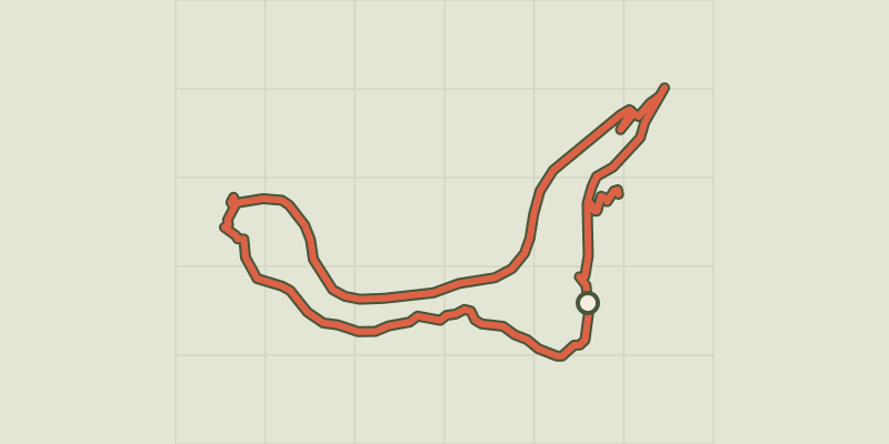 © OpenStreetMap, SRTM · OpenTopoMap (CC-BY-SA)
The viaducts
Cévennes, Alzon (30) · LoopOfficial rating by Parc national des Cévennes