
Broussous

Key facts
- Distance
- 9.0 km
- Ascent
- +330 m
- Descent
- −268 m
- Estimated time
- 2 hr 35
- hiking
- Difficulty
- Moderate
- official rating
- Route
- Loop
- back to the start
Profile and gradient
- under 10%
- 10 to 20%
- over 20%
Gradient along the route: 7.7 km under 10% and 1.4 km at 10 to 20%. Elevation from 638 m to 884 m over 9.0 km.
Description
This forest path explores the banks of the Tarnon river. From the small plateau of the Can de l’Hospitalet, you have breathtaking views onto the cliffs of the Causse Méjean. Start on the village square in Vébron. Walk on the D 907 road towards Rousses, cross the old bridge and take on your left the path that runs alongside the Tarnon. At the first crossing, turn left. Cross the wooden footbridge over the brook, then go uphill. - At the crossing, continue straight ahead to Broussous. - In Broussous, your track joins up with another track, onto which you turn right. - At the next crossing, continue straight, ignoring the path that goes downhill on the right. - You join up with a track. Turn right onto the track and walk to a clear ledge. - Continue straight ahead, ignoring on your left the path to L’Hospitalet. - Take the path on the left that goes down through the chestnut grove towards Les Vanels. At the intersection, go down in front (under the telephone pole). - Arrived at Les Vanels, follow the RD 907 on the right for 750m. - The route leaves the road on the right, then left on a path, without going through the hamlet (follow the signs well). Cross the river, the return to Vébron is done by the right bank of the Tarnon at the old bridge of Vébron.
Difficulty
Official rating: moderate, by Parc national des Cévennes.
Before you go
- Make sure your equipment is appropriate for the day's weather conditions. Remember that the weather changes quickly in the mountains. Take enough water, wear good shoes and put on a hat. Please close all gates and barriers after yourself.
Getting there
Start: Vébron, Vebron (48).
Sources
- Track: Parc national des Cévennes, Licence Ouverte 1.0, Licence Ouverte 1.0 (Etalab) (destination.cevennes-parcnational.fr/trek/40134-Broussous). Time estimated by GPX Path with the Mac app rule, breaks not included.
- Official elevation gain: 330 m, Parc national des Cévennes
Nearby tracks

 © OpenStreetMap, SRTM · OpenTopoMap (CC-BY-SA)
The corniches de l’Hospitalet
Cévennes, Vebron (48) · LoopOfficial rating by Parc national des Cévennes © OpenStreetMap, SRTM · OpenTopoMap (CC-BY-SA)
Massevaques
Cévennes, Rousses (48) · LoopOfficial rating by Parc national des Cévennes © OpenStreetMap, SRTM · OpenTopoMap (CC-BY-SA)
D’une vallée à l’autre, entre Gardon et Tarnon
Cévennes, Rousses (48) · Point to pointOfficial rating by Parc national des Cévennes © OpenStreetMap, SRTM · OpenTopoMap (CC-BY-SA)
Balade autour de Nîmes le vieux - variante courte
Cévennes, Fraissinet-de-Fourques (48) · LoopOfficial rating by Parc national des Cévennes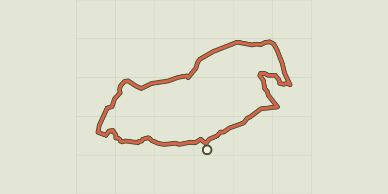 © OpenStreetMap, SRTM · OpenTopoMap (CC-BY-SA)
Nîmes-le-Vieux
Cévennes, Fraissinet-de-Fourques (48) · LoopOfficial rating by Parc national des Cévennes © OpenStreetMap, SRTM · OpenTopoMap (CC-BY-SA)
Barre-des-Cévennes
Cévennes, Barre-des-Cévennes (48) · LoopOfficial rating by Parc national des Cévennes