
Col de Mouzoules
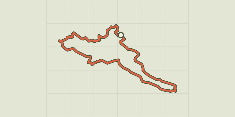
Key facts
- Distance
- 8.8 km
- Ascent
- +492 m
- Descent
- −430 m
- Estimated time
- 2 hr 50
- hiking
- Difficulty
- Moderate
- official rating
- Route
- Loop
- back to the start
Profile and gradient
- under 10%
- 10 to 20%
- over 20%
Gradient along the route: 5.1 km under 10%, 3.5 km at 10 to 20% and 0.2 km over 20%. Elevation from 362 m to 734 m over 8.8 km.
Description
A pretty circuit on small paths exploring the villages and valley around Mars. Signposts will guide you all along this route. In the description below, the signposted place names and/or directions are given in bold italics between quotation marks: Starting at “MARS ", walk towards "COL DE MOUZOULES" via: - "Le Truel" and - "Cougnéral". At the signpost "Cougnéral", walk to the Col de Mouzoules pass, then retrace your steps. Back at the signpost "Cougnéral", head towards "BRÉAU" via: - "La Bernadelle - Ouest". - At “Bréau”, walk towards "MARS" via: - "Fontaine de La Surle" and - "La Bernadelle - Est". This walk is taken from the guidebook Les Vallées Cévenoles - En Pays Viganais, published by the Communauté de communes Pays Viganais-Cévennes as part of the collection Espaces Naturels Gardois and the label Gard Pleine Nature.
Difficulty
Official rating: moderate, by Parc national des Cévennes.
Before you go
- Make sure your equipment is appropriate for the day’s weather conditions. Take enough water, wear sturdy shoes and put on a hat. Please close all gates and barriers behind you.
Getting there
Start: Mars (Mairie), Bréau-Mars (30).
Sources
- Track: Parc national des Cévennes, Licence Ouverte 1.0, Licence Ouverte 1.0 (Etalab) (destination.cevennes-parcnational.fr/trek/74878-Le-col-de-Mouzoules). Time estimated by GPX Path with the Mac app rule, breaks not included.
- Official elevation gain: 492 m, Parc national des Cévennes
Nearby tracks

 © OpenStreetMap, SRTM · OpenTopoMap (CC-BY-SA)
Col de la Cravate pass
Cévennes, Bréau-Mars (30) · LoopOfficial rating by Parc national des Cévennes © OpenStreetMap, SRTM · OpenTopoMap (CC-BY-SA)
Around Aulas
Cévennes, Aulas (30) · LoopOfficial rating by Parc national des Cévennes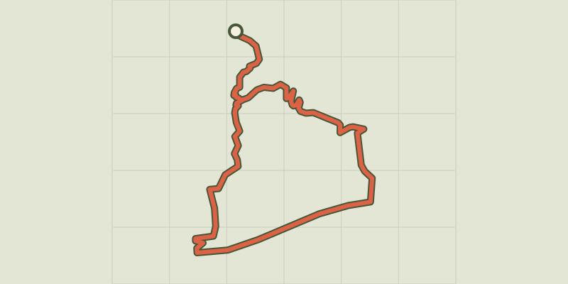 © OpenStreetMap, SRTM · OpenTopoMap (CC-BY-SA)
The old spinning-mills
Cévennes, Molières-Cavaillac (30) · LoopOfficial rating by Parc national des Cévennes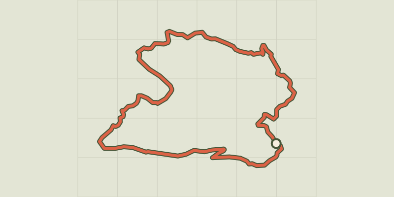 © OpenStreetMap, SRTM · OpenTopoMap (CC-BY-SA)
On the road to Rutènes
Cévennes, Molières-Cavaillac (30) · LoopOfficial rating by Parc national des Cévennes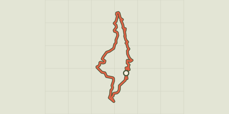 © OpenStreetMap, SRTM · OpenTopoMap (CC-BY-SA)
Souls
Cévennes, Bréau-Mars (30) · LoopOfficial rating by Parc national des Cévennes © OpenStreetMap, SRTM · OpenTopoMap (CC-BY-SA)
From Le Bosc to the Valat de Merlanson
Cévennes, Bez-et-Esparon (30) · LoopOfficial rating by Parc national des Cévennes