
Crête du Ventalon - Trail n° 26

Key facts
- Distance
- 13.5 km
- Ascent
- +720 m
- Descent
- −643 m
- Estimated time
- 2 hr
- trail running
- Difficulty
- Moderate
- official rating
- Route
- Loop
- back to the start
Profile and gradient
- under 10%
- 10 to 20%
- over 20%
Gradient along the route: 7.8 km under 10%, 5.4 km at 10 to 20% and 0.3 km over 20%. Elevation from 567 m to 1,103 m over 13.5 km.
Description
A series of reasonable elevation gains, through pasture on the ridge and in the Luech valley, which here forms a sort of cirque. Handsome views south towards the end. Follow the waymarks for trail #26. Signposts will guide you all along this route. In the description below, the signposted place names and/or directions are given in bold italics between quotation marks: Starting from “Relais de l’Espinas” go to “Castagnols” via - “Draille de l’Espinas”, - “Pradiguas”. - At “Castagnols”, head for “Soleyrols” via - “La Tranchée”, - “Légaou”, - “Rieutort”. - At “Soleyrols”, go to “Col de Chalsio” via - “Ruisseau du Villaret”, - “Le Villaret”, - “Sous le col de la Baraquette”, - “Col de la Baraquette”. - At “Col de Chalsio” return to “Relais de l’Espinas” via - “Draille de l’Espinas”. This trail is taken from the guidebook Mont Lozère, Pays des sources, Sommet des Cévennes, published by the Pôle de pleine nature du mont Lozère.
Difficulty
Official rating: moderate, by Parc national des Cévennes.
Before you go
- Before committing yourself to a circuit, ensure that it is suitable for your activity level and ability. Remember that the weather changes quickly in the mountains. Please close all gates and barriers behind you. Stay on the marked path.
Getting there
Start: Le Relais de l'Espinas, Ventalon en Cévennes (48).
Sources
- Track: Parc national des Cévennes, Licence Ouverte 1.0, Licence Ouverte 1.0 (Etalab) (destination.cevennes-parcnational.fr/trek/84882-Crete-du-Ventalon---Trail-n-26). Time estimated by GPX Path with the Mac app rule, breaks not included.
- Official elevation gain: 720 m, Parc national des Cévennes
Nearby tracks
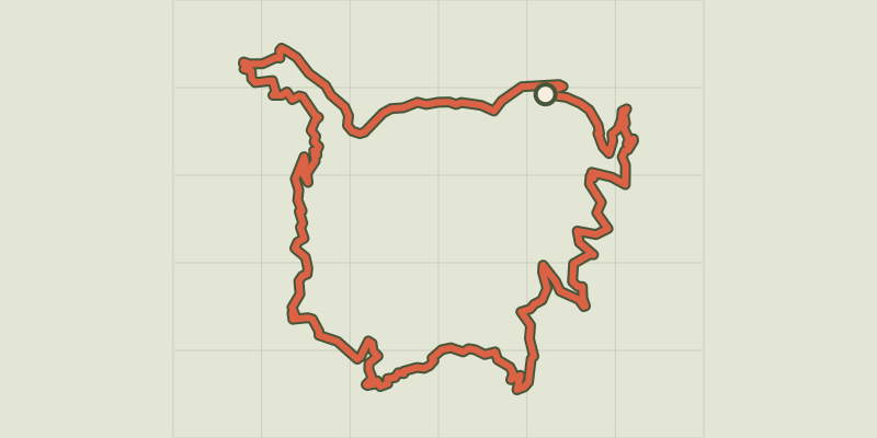
 © OpenStreetMap, SRTM · OpenTopoMap (CC-BY-SA)
Cévenol valleys, trail #28
Cévennes, Ventalon en Cévennes (48) · LoopOfficial rating by Parc national des Cévennes © OpenStreetMap, SRTM · OpenTopoMap (CC-BY-SA)
Serre de Banette, trail #27
Cévennes, Ventalon en Cévennes (48) · LoopOfficial rating by Parc national des Cévennes © OpenStreetMap, SRTM · OpenTopoMap (CC-BY-SA)
Chalet de l'Aigle and Pic Cassini, Trail #19.
Cévennes, Vialas (48) · LoopOfficial rating by Parc national des Cévennes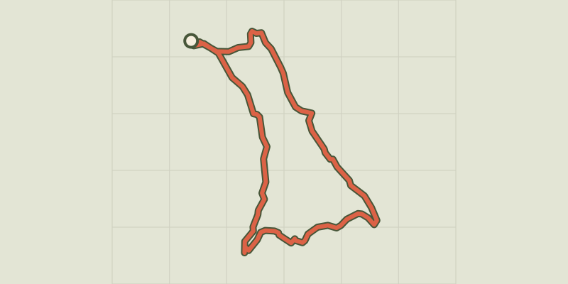 © OpenStreetMap, SRTM · OpenTopoMap (CC-BY-SA)
Bayardet, variant Trail #20v
Cévennes, Pont de Montvert - Sud Mont Lozère (48) · LoopOfficial rating by Parc national des Cévennes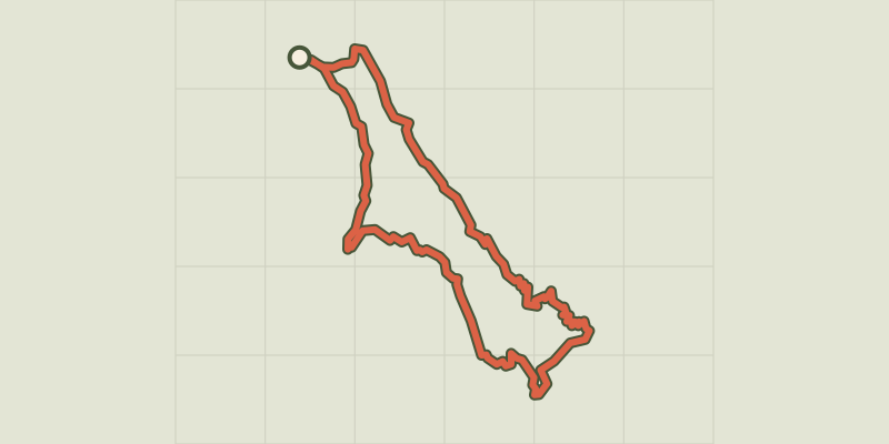 © OpenStreetMap, SRTM · OpenTopoMap (CC-BY-SA)
Rocher du Trenze and Bayardet, Trail #20
Cévennes, Pont de Montvert - Sud Mont Lozère (48) · LoopOfficial rating by Parc national des Cévennes © OpenStreetMap, SRTM · OpenTopoMap (CC-BY-SA)
Gourdouze valley, Trail #21
Cévennes, Pont de Montvert - Sud Mont Lozère (48) · LoopOfficial rating by Parc national des Cévennes