
Cros: the silk trail

Key facts
- Distance
- 2.1 km
- Ascent
- +96 m
- Descent
- −80 m
- Estimated time
- 40 min
- hiking
- Difficulty
- Very easy
- official rating
- Route
- Loop
- back to the start
Profile and gradient
- under 10%
- 10 to 20%
- over 20%
Gradient along the route: 1.5 km under 10%, 0.4 km at 10 to 20% and 0.2 km over 20%. Elevation from 224 m to 307 m over 2.1 km.
Description
As you travel through a valley shaped by silkworm farming, every step shows you signs of this commercial activity, now abandoned. At Cros, mulberry trees were first recorded in the early 18th century. In fact, it all started with that tree, whose leaf is indispensable for feeding the manhan (Occitan for silkworm, spelled magnan in French.) Silkworm breeding takes a few weeks from April to July and requires a large workforce as well as specific rooms, the magnaneries. Cros was also home to several spinning-mills that transformed the precious cocoons into silk thread.
Difficulty
Official rating: very easy, by Parc national des Cévennes.
Getting there
Start: Le temple, lieu dit La Mazade, Cros (30).
Sources
- Track: Parc national des Cévennes, Licence Ouverte 1.0, Licence Ouverte 1.0 (Etalab) (destination.cevennes-parcnational.fr/trek/73288-Cros%2C-le-sentier-de-la-soie). Time estimated by GPX Path with the Mac app rule, breaks not included.
- Official elevation gain: 96 m, Parc national des Cévennes
Nearby tracks

 © OpenStreetMap, SRTM · OpenTopoMap (CC-BY-SA)
Le valat de Valestalière
Cévennes, Monoblet (30) · LoopOfficial rating by Parc national des Cévennes © OpenStreetMap, SRTM · OpenTopoMap (CC-BY-SA)
Sentier des Fileuses - Carré de soie
Cévennes, Colognac (30) · Out and backOfficial rating by Parc national des Cévennes © OpenStreetMap, SRTM · OpenTopoMap (CC-BY-SA)
Le chemin des Fileuses
Cévennes, Colognac (30) · LoopOfficial rating by Parc national des Cévennes © OpenStreetMap, SRTM · OpenTopoMap (CC-BY-SA)
Col de la Pierre Plantée
Cévennes, Saint-Roman-de-Codières (30) · LoopOfficial rating by Parc national des Cévennes © OpenStreetMap, SRTM · OpenTopoMap (CC-BY-SA)
Col des Fosses
Cévennes, Saint-Roman-de-Codières (30) · LoopOfficial rating by Parc national des Cévennes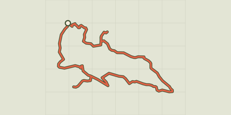 © OpenStreetMap, SRTM · OpenTopoMap (CC-BY-SA)
Les Cagnasses mountain
Cévennes, Sumène (30) · LoopOfficial rating by Parc national des Cévennes