
Le Moure d'Allenc - Trail n°8

Key facts
- Distance
- 14.8 km
- Ascent
- +400 m
- Descent
- −338 m
- Estimated time
- 1 hr 50
- trail running
- Difficulty
- Easy
- official rating
- Route
- Loop
- back to the start
Profile and gradient
- under 10%
- 10 to 20%
- over 20%
Gradient along the route: 14.5 km under 10% and 0.4 km at 10 to 20%. Elevation from 880 m to 1,201 m over 14.8 km.
Description
Handsome tracks through the forest, a trail section on the banks of the Lot, pretty hamlets to be crossed… Here is a circuit without major difficulty to explore the surroundings of Bagnols-les-Bains. Signposts will guide you all along this route: follow the waymarks for trail #8. Cross the village’s main road, the municipal campsite and a recent housing estate, then take a pleasant path on the bank of the Lot river. The path leads you to the pretty village of Chadenet, via Le Crouzet, on the GR®43. This flat section is ideal for making a gentle start. At Chadenet, you embark on a track that climbs gradually for two kilometres before levelling out in the forest: perfect for lengthening your stride! At Allenc, you start climbing again to reach Le Mourre d'Allenc, altitude 1,198 m. Then, all that is left is to head downhill on a large track through fields and forest. Signposts will guide you all along this route, as well as yellow painted waymarks. In the description below, the signposted place names and/or directions are given in bold italics between quotation marks: From "Bagnols-Les-Bains », go to « Chadenets » via : - « Avenue de la Gare », - « Le Crouzet » (GR®43). - At « Chadenet » go to « Le Moure d’Allenc » via - « Lou Claoux », - « Village », - « Lavit », - « Le Mas ». - At « Le Moure d’Allenc », return to "Bagnols-les-Bains" via - « Pessasse »,« Bagnols-les-Bains ». This hike is taken from the guidebook Mont Lozère, Pays des sources, de la montagne du Goulet aux gorges du Bramont, published by the Pôle de pleine nature du Mont Lozère.Lozère.
Difficulty
Official rating: easy, by Parc national des Cévennes.
Before you go
- Before committing yourself to a circuit, ensure that it is suitable for your activity level and ability. Remember that the weather changes quickly in the mountains. Please close all gates and barriers behind you. Stay on the marked path.
Getting there
Start: Bagnols-les-Bains, Mont Lozère et Goulet (48).
Sources
- Track: Parc national des Cévennes, Licence Ouverte 1.0, Licence Ouverte 1.0 (Etalab) (destination.cevennes-parcnational.fr/trek/74885-Le-Moure-d-Allenc---Trail-n8). Time estimated by GPX Path with the Mac app rule, breaks not included.
- Official elevation gain: 400 m, Parc national des Cévennes
Nearby tracks
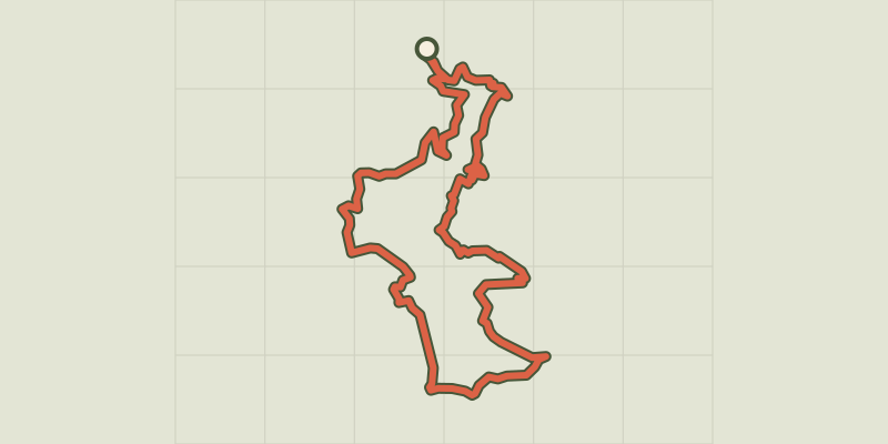
 © OpenStreetMap, SRTM · OpenTopoMap (CC-BY-SA)
The north slope of Mont Lozère #9
Cévennes, Mont Lozère et Goulet (48) · LoopOfficial rating by Parc national des Cévennes © OpenStreetMap, SRTM · OpenTopoMap (CC-BY-SA)
Château du Tournel, #10
Cévennes, Mont Lozère et Goulet (48) · LoopOfficial rating by Parc national des Cévennes © OpenStreetMap, SRTM · OpenTopoMap (CC-BY-SA)
L'Oustal Crémat - Trail n°7
Cévennes, Mont Lozère et Goulet (48) · LoopOfficial rating by Parc national des Cévennes © OpenStreetMap, SRTM · OpenTopoMap (CC-BY-SA)
Village on Mont Lozère’s northern slope, Trail #16
Cévennes, Cubières (48) · LoopOfficial rating by Parc national des Cévennes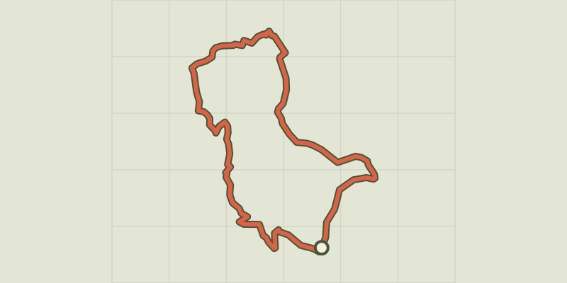 © OpenStreetMap, SRTM · OpenTopoMap (CC-BY-SA)
Around Le Mazel, #15
Cévennes, Cubières (48) · LoopOfficial rating by Parc national des Cévennes © OpenStreetMap, SRTM · OpenTopoMap (CC-BY-SA)
Mont Lozère in a nutshell, Trail #14
Cévennes, Cubières (48) · LoopOfficial rating by Parc national des Cévennes