
MTB 15 - The Aigoual forest- graded red

Key facts
- Distance
- 18.0 km
- Ascent
- +462 m
- Descent
- −361 m
- Estimated time
- 2 hr
- mtb
- Difficulty
- Difficult
- official rating
- Route
- Loop
- back to the start
Profile and gradient
- under 10%
- 10 to 20%
- over 20%
Gradient along the route: 17.1 km under 10% and 0.9 km at 10 to 20%. Elevation from 1,101 m to 1,413 m over 18.0 km.
Description
A handsome mix of descents, single-track trails and forest tracks: a comprehensive programme in the beautiful forest atmosphere of the Aigoual massif, around the watershed and the Maison de l’Aigoual. Signposts will guide you all along this route. In the description below, the signposted place names and/or directions are given in bold italics between quotation marks: Starting from "Station de Prat Peyrot", head to "Col de la Serreyrède" via - "Le Fangas". - At "Col de la Serreyrède", go downhill on the right on a road after the Maison de l'Aigoual for several metres and then turn right, towards "Plan du Châtaignier" via - "Du Bonheur", - "Sous St Flour". - At “Plan du Châtaignier” turn right after the car park towards - "Le plan d'eau", and continue on the road towards - "Route du Devois", - "Le Cros". Head towards “Maison du bois” via - "Tabarde", - At "Maison du bois" follow - “Tailladette”, - "Taillade", - "Bois de l'Agre" to reach "Le Col de Faubel". - At “Le Col de Faubel”, cross the road, take the track towards - "La Pépinière" and turn right towards "Col de l'Espérou" via - "Montlau". - At "Col de l’Espérou", head towards "Col de la Serreyrède" via - "Le Trevezel". - At “Col de la Serreyrède”, go back up to “Station de Prat Peyrot” via - “Le Fangas” on the old drovers’ road. This circuit is taken from the guidebook Massif de l’Aigoual, published by the communauté de communes Causses Aigoual Cévennes as part of the collection Espaces naturels gardois and the label Gard Pleine Nature.
Difficulty
Official rating: difficult, by Parc national des Cévennes.
Before you go
- Before committing yourself to a circuit, ensure that it is suitable for your activity level and ability. You must wear a helmet. Protective equipment is recommended. Respect other road users and stay in control of your speed and trajectory. NB: This circuit is also used by horse riders. Make sure your equipment is appropriate for the day’s weather conditions. Remember that the weather changes quickly in the mountains. Take enough water. Please close all gates and barriers behind you. No off-roading.
- Caution: patous (livestock guard dogs) on the summit of mont Aigoual! Seek advice on how to behave near these dogs from tourist offices and National Park information centres.
Getting there
Start: Prat Peyrot, Meyrueis (48).
Sources
- Track: Parc national des Cévennes, Licence Ouverte 1.0, Licence Ouverte 1.0 (Etalab) (destination.cevennes-parcnational.fr/trek/43927-Foret-de-l-Aigoual---VTT-n15). Time estimated by GPX Path with the Mac app rule, breaks not included.
- Official elevation gain: 462 m, Parc national des Cévennes
Nearby tracks

 © OpenStreetMap, SRTM · OpenTopoMap (CC-BY-SA)
MTB 9 - The 5 Bonheur passes
Cévennes, Meyrueis (48) · LoopOfficial rating by Parc national des Cévennes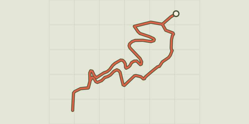 © OpenStreetMap, SRTM · OpenTopoMap (CC-BY-SA)
MTB 2 - a carpet of green
Cévennes, Val-d'Aigoual (30) · LoopOfficial rating by Parc national des Cévennes © OpenStreetMap, SRTM · OpenTopoMap (CC-BY-SA)
MTB 3 - Descent on the drovers’ road
Cévennes, Val-d'Aigoual (30) · Point to pointOfficial rating by Parc national des Cévennes © OpenStreetMap, SRTM · OpenTopoMap (CC-BY-SA)
MTB 11 - Descent to Meyrueis, graded red
Cévennes, Val-d'Aigoual (30) · Point to pointOfficial rating by Parc national des Cévennes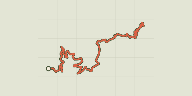 © OpenStreetMap, SRTM · OpenTopoMap (CC-BY-SA)
MTB 12 - The ridges of the Vallée Borgne, graded red
Cévennes, Val-d'Aigoual (30) · Point to pointOfficial rating by Parc national des Cévennes © OpenStreetMap, SRTM · OpenTopoMap (CC-BY-SA)
MTB 10 - La Luzette, graded red
Cévennes, Dourbies (30) · LoopOfficial rating by Parc national des Cévennes