
Sentier de découverte de la Cocalière

Key facts
- Distance
- 1.7 km
- Ascent
- +24 m
- Descent
- −13 m
- Estimated time
- 25 min
- hiking
- Difficulty
- Very easy
- official rating
- Route
- Out and back
- same way back
Profile and gradient
- under 10%
- 10 to 20%
- over 20%
Gradient along the route: 1.7 km under 10%. Elevation from 237 m to 253 m over 1.7 km.
Description
The discovery trail: also admire the beauty of the outdoor environment Accessible free of charge from reception, a fully marked discovery trail allows you to explore a very distinctive Karst, the path of which reveals a special place, the Saint-Bernard chapel, a rock-cut witness to historical episodes. This open-air stroll is also an invitation to discover the Mediterranean flora where, depending on the season, red valerian clings to rocky turrets, terebinths show their glowing clusters, and coronilla its yellow flowers...
Difficulty
Official rating: very easy, by Parc national des Cévennes.
Getting there
Start: Parking de la grotte, Courry (30).
Sources
- Track: Parc national des Cévennes, Licence Ouverte 1.0, Licence Ouverte 1.0 (Etalab) (destination.cevennes-parcnational.fr/trek/98786-Sentier-de-decouverte-de-la-Cocaliere). Time estimated by GPX Path with the Mac app rule, breaks not included.
- Official elevation gain: 24 m, Parc national des Cévennes
Nearby tracks

 © OpenStreetMap, SRTM · OpenTopoMap (CC-BY-SA)
Les dolmens de l’Ismaël
Cévennes, Courry (30) · LoopOfficial rating by Parc national des Cévennes © OpenStreetMap, SRTM · OpenTopoMap (CC-BY-SA)
Viaduct of Doulovy
Cévennes, Gagnières (30) · LoopOfficial rating by Parc national des Cévennes © OpenStreetMap, SRTM · OpenTopoMap (CC-BY-SA)
The wash houses (south)
Cévennes, Saint-Paul-le-Jeune (07) · LoopOfficial rating by Parc national des Cévennes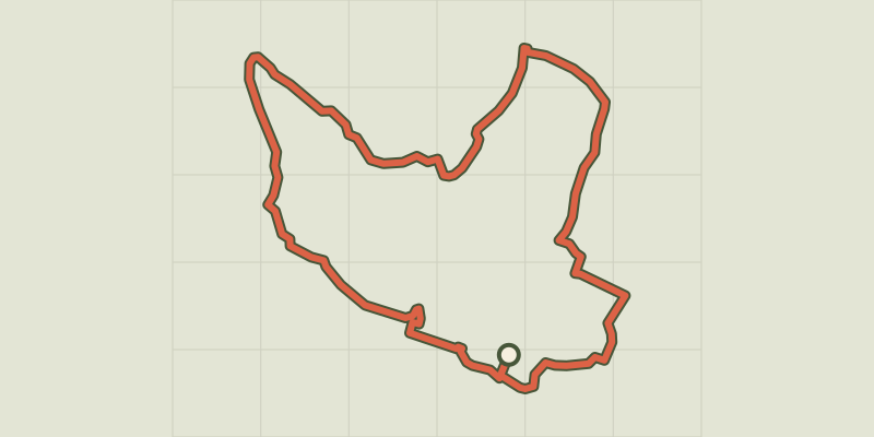 © OpenStreetMap, SRTM · OpenTopoMap (CC-BY-SA)
The wash houses (north)
Cévennes, Saint-Paul-le-Jeune (07) · LoopOfficial rating by Parc national des Cévennes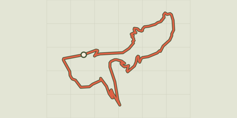 © OpenStreetMap, SRTM · OpenTopoMap (CC-BY-SA)
Castillon tower
Cévennes, Bessèges (30) · LoopOfficial rating by Parc national des Cévennes © OpenStreetMap, SRTM · OpenTopoMap (CC-BY-SA)
Le Montgrillet
Cévennes, Meyrannes (30) · LoopOfficial rating by Parc national des Cévennes