
The Camisards (by mountain-bike)

Key facts
- Distance
- 30.4 km
- Ascent
- +996 m
- Descent
- −756 m
- Estimated time
- 3 hr 40
- mtb
- Difficulty
- Difficult
- official rating
- Route
- Loop
- back to the start
Profile and gradient
- under 10%
- 10 to 20%
- over 20%
Gradient along the route: 28.4 km under 10% and 2.0 km at 10 to 20%. Elevation from 643 m to 1,143 m over 30.4 km.
Description
This trail crosses an old beech forest, which is part of Le Marquaires forest nature reserve, and thus monitored particularly closely by the Cévennes National Park and the Office National des Forêts. Mountain-bike route #15. From the village, take the D 907 for 4 km towards the Tunnel du Marquaires. Before the tunnel, fork right towards the Le Marquaires forester's house and continue on the forestry track to Gaseiral. Take the road uphill to the Col de Salides and there take the ridge track on the left to L'Hospitalet (GR 7). Go down to Vébron (don't hill to the Moulin d'Astier), cross the Tarnon and join up again with the D 907 to Gua. Cross Gua and cycle along the river Tarnon to get to Prat Nouvel and then to Rousses.
Difficulty
Official rating: difficult, by Parc national des Cévennes.
Before you go
- No cycling off-track. You are strongly advised to wear a helmet. Do not forget your repair kit and a small set of tools. Please shut all gates and barriers after yourself. Slow down in farms and hamlets.
Getting there
Start: Rousses, Rousses (48).
Sources
- Track: Parc national des Cévennes, Licence Ouverte 1.0, Licence Ouverte 1.0 (Etalab) (destination.cevennes-parcnational.fr/trek/38851-Les-Camisards---VTT-n15). Time estimated by GPX Path with the Mac app rule, breaks not included.
- Official elevation gain: 996 m, Parc national des Cévennes
Nearby tracks

 © OpenStreetMap, SRTM · OpenTopoMap (CC-BY-SA)
The Roof of the Cévennes (by mountain-bike)
Cévennes, Rousses (48) · LoopOfficial rating by Parc national des Cévennes © OpenStreetMap, SRTM · OpenTopoMap (CC-BY-SA)
The Corniche des Cévennes (by mountain-bike)
Cévennes, Cans et Cévennes (48) · LoopOfficial rating by Parc national des Cévennes © OpenStreetMap, SRTM · OpenTopoMap (CC-BY-SA)
The Tour du Briançon # 7 (by mountain-bike)
Cévennes, Cans et Cévennes (48) · LoopOfficial rating by Parc national des Cévennes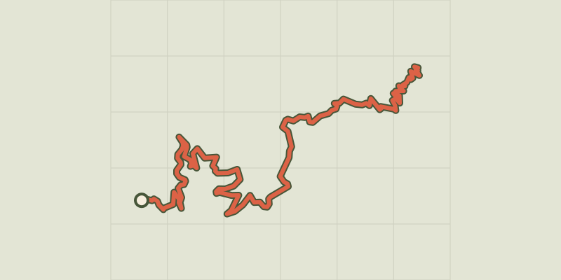 © OpenStreetMap, SRTM · OpenTopoMap (CC-BY-SA)
MTB 12 - The ridges of the Vallée Borgne, graded red
Cévennes, Val-d'Aigoual (30) · Point to pointOfficial rating by Parc national des Cévennes © OpenStreetMap, SRTM · OpenTopoMap (CC-BY-SA)
MTB 11 - Descent to Meyrueis, graded red
Cévennes, Val-d'Aigoual (30) · Point to pointOfficial rating by Parc national des Cévennes © OpenStreetMap, SRTM · OpenTopoMap (CC-BY-SA)
MTB 3 - Descent on the drovers’ road
Cévennes, Val-d'Aigoual (30) · Point to pointOfficial rating by Parc national des Cévennes