
The Cham de l'Hermet plateau

Key facts
- Distance
- 7.9 km
- Ascent
- +314 m
- Descent
- −243 m
- Estimated time
- 2 hr 15
- hiking
- Difficulty
- Easy
- official rating
- Route
- Loop
- back to the start
Profile and gradient
- under 10%
- 10 to 20%
- over 20%
Gradient along the route: 6.3 km under 10%, 1.4 km at 10 to 20% and 0.2 km over 20%. Elevation from 878 m to 1,108 m over 7.9 km.
Description
This walk passes through very diverse landscapes and lets you explore the complex interactions between mankind and nature. The Cham de l'Hermet, on the north slope of the Bougès, showcases the diverse landscapes of the Tarn valley, including the L'Hermet plateau where the handsome granite hamlet of the same name is situated. The downhill section towards Le-Pont-de-Montvert offers magnificent panoramic views onto the entire Mont Lozère mountain range with its highest point, Pic de Finiels (1,699 m). Start at the Tour de l'horloge (clocktower), cross the bridge over the Tarn and turn right.
Difficulty
Official rating: easy, by Parc national des Cévennes.
Getting there
Start: Tour de l'horloge, Pont de Montvert - Sud Mont Lozère (48).
Sources
- Track: Parc national des Cévennes, Licence Ouverte 1.0, Licence Ouverte 1.0 (Etalab) (destination.cevennes-parcnational.fr/trek/38229-La-cham-de-l-Hermet). Time estimated by GPX Path with the Mac app rule, breaks not included.
- Official elevation gain: 314 m, Parc national des Cévennes
Nearby tracks

 © OpenStreetMap, SRTM · OpenTopoMap (CC-BY-SA)
Gasbiel
Cévennes, Pont de Montvert - Sud Mont Lozère (48) · LoopOfficial rating by Parc national des Cévennes © OpenStreetMap, SRTM · OpenTopoMap (CC-BY-SA)
Le Viala - Racoules
Cévennes, Pont de Montvert - Sud Mont Lozère (48) · LoopOfficial rating by Parc national des Cévennes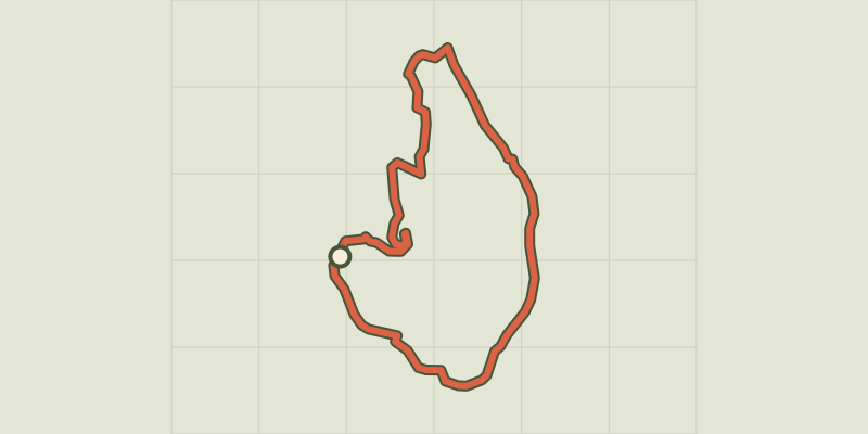 © OpenStreetMap, SRTM · OpenTopoMap (CC-BY-SA)
Pont du Tarn
Cévennes, Pont de Montvert - Sud Mont Lozère (48) · LoopOfficial rating by Parc national des Cévennes © OpenStreetMap, SRTM · OpenTopoMap (CC-BY-SA)
Mallevrière par Finiels
Cévennes, Pont de Montvert - Sud Mont Lozère (48) · LoopOfficial rating by Parc national des Cévennes © OpenStreetMap, SRTM · OpenTopoMap (CC-BY-SA)
Mas Camargues
Cévennes, Pont de Montvert - Sud Mont Lozère (48) · LoopOfficial rating by Parc national des Cévennes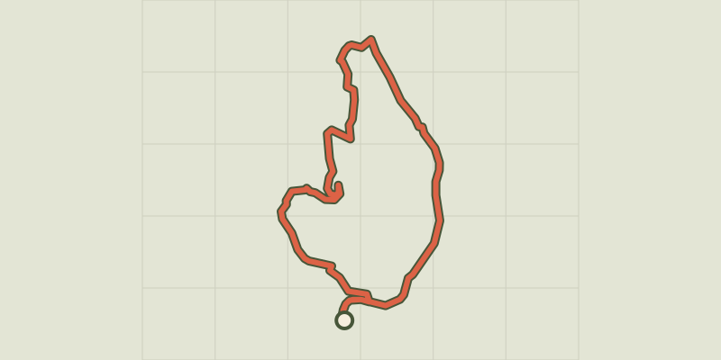 © OpenStreetMap, SRTM · OpenTopoMap (CC-BY-SA)
Le Pont du Tarn par la Croix de Berthel
Cévennes, Pont de Montvert - Sud Mont Lozère (48) · LoopOfficial rating by Parc national des Cévennes