
The panoramic Cévennes via Mont Lozère

Key facts
- Distance
- 96.4 km
- Ascent
- +2,976 m
- Descent
- −3,069 m
- Estimated time
- 12 hr 15
- trail running
- Difficulty
- Difficult
- official rating
- Route
- Point to point
- ends elsewhere
Profile and gradient
- under 10%
- 10 to 20%
- over 20%
Gradient along the route: 80.9 km under 10% and 15.5 km at 10 to 20%. Elevation from 542 m to 1,568 m over 96.4 km.
Description
In four stages, this magnificent itinerary lets you explore a concentrated version of the Cévennes National Park’s scenery. The diverse route alternates singletracks and easier paths and is aimed at trail runners used to mountain terrain. Some climbs and descents will severely test your legs and enchant those who love technical terrain. Take the main draille (drovers’ road) from the Languedoc to the Gévaudan, which was once used to take livestock herds to their summer pastures. On ridges and passes, discover the granite landscape of Mont Lozère and the heath and chestnut groves of the Bougès massif before finishing on the prairies of the Can de Ferrières plateau. Day 1 : La Bastide-Pyulaurent--Le Bleymard (between 5 and 6 ½ hrs), 850 m of climbs, 800 m of descents. GR®7. Climb onto the ridges and Le Moure de la Gardille, where the Allier has its spring. Then go downhill to Belvezet and to the crossroads of the Pierre Plantée (standing stone). Go up to Le Plot de l'Aygue and then back down to Le Bleymard, which includes some short steep sections. Day 2 : Le Bleymard--Pont-de-Montvert- Sud-Mont-Lozère (between 4 and 5 ½ hrs), 650 m of climbs, 850 m of descents. GR®7 puis GR®72. From Le Bleymard, head uphill to the ski station of Le Bleymard-Mont-Lozère and then to the Col de Finiels pass. At the pass, go down to Salarial, L'Hôpital and Le Pont du Tarn. At Le Pont du Tarn, fork onto the GR®72 long-distance path to reach first Le Merlet and then Le Pont-de-Montvert-Sud-Mont-Lozère. Day 3 : Pont-de-Montvert-Sud-Mont-Lozère--Barre-des-Cévennes, (4 ½ to 6 hrs), 900 m of climbs, 850 m of descents, GR®72 Head for the Col de la Planette pass via Champlong de Bougès. At the pass, go to Barre-des-Cévennes via Cassagnas, Relais de Stevenson, Le Crémadet, Les Quatre chemins, Barre-des-Cévennes. Day 4 : Barre-des-Cévennes--Florac-Trois-Rivières (2 to 3 hrs), 220 m of climbs, 600 m of descents, GR®7 then GR®43 From Barre-des-Cévennes, take the GR®7 to the Col des Faïsses pass via the Can Noire plateau. At Col des Faïsses leave the GR®7 for the GR®43 towards Florac via Col du Rey, Tardonenche, La Rouvière, Pont de Barre.
Difficulty
Official rating: difficult, by Parc national des Cévennes.
Before you go
- Before committing yourself to a circuit, ensure that it is suitable for your activity level and ability. Remember that the weather changes quickly in the mountains. Take enough water.
Getting there
Start: La Bastide-Puylaurent, La Bastide-Puylaurent (48).
Sources
- Track: Parc national des Cévennes, Licence Ouverte 1.0, Licence Ouverte 1.0 (Etalab) (destination.cevennes-parcnational.fr/trek/73796-Cevennes-panoramiques-par-le-mont-Lozere--Trail). Time estimated by GPX Path with the Mac app rule, breaks not included.
- Official elevation gain: 2,976 m, Parc national des Cévennes
Nearby tracks

 © OpenStreetMap, SRTM · OpenTopoMap (CC-BY-SA)
Lac de Villefort - Trail n° 6
Cévennes, Prévenchères (48) · LoopOfficial rating by Parc national des Cévennes © OpenStreetMap, SRTM · OpenTopoMap (CC-BY-SA)
Croix de Gratassac - Trail n°1V
Cévennes, Villefort (48) · LoopOfficial rating by Parc national des Cévennes © OpenStreetMap, SRTM · OpenTopoMap (CC-BY-SA)
Lac de Villefort - Trail n° 1
Cévennes, Villefort (48) · LoopOfficial rating by Parc national des Cévennes © OpenStreetMap, SRTM · OpenTopoMap (CC-BY-SA)
Cham des Balmelles - Trail n°3
Cévennes, Villefort (48) · LoopOfficial rating by Parc national des Cévennes © OpenStreetMap, SRTM · OpenTopoMap (CC-BY-SA)
Village on Mont Lozère’s northern slope, Trail #16
Cévennes, Cubières (48) · LoopOfficial rating by Parc national des Cévennes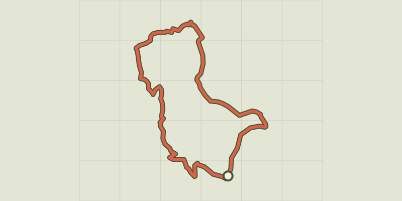 © OpenStreetMap, SRTM · OpenTopoMap (CC-BY-SA)
Around Le Mazel, #15
Cévennes, Cubières (48) · LoopOfficial rating by Parc national des Cévennes