
The three passes, MTB circuit #3 (red)

Key facts
- Distance
- 20.7 km
- Ascent
- +977 m
- Descent
- −764 m
- Estimated time
- 3 hr
- mtb
- Difficulty
- Difficult
- official rating
- Route
- Loop
- back to the start
Profile and gradient
- under 10%
- 10 to 20%
- over 20%
Gradient along the route: 16.2 km under 10% and 4.5 km at 10 to 20%. Elevation from 523 m to 1,103 m over 20.7 km.
Description
An athletic loop with some technical uphill passages and a rather steep and stony descent. Handsome views over Vialas and its surroundings. Follow the MTB markup n°2 Signposts will guide you all along this route, as well as yellow painted waymarks. In the description below, the signposted place names and/or directions are given in bold italics between quotation marks : Starting from the tourist office “Vialas”, bike to “Place de l’Ancienne Gendarmerie” : - Then continue to the brook via “La Vigne”, “Plagette”. - Then climb to “Col de La Baraquette” via “La Tranchée”, “Légaou”, “Ruisseau du Villaret”, “Le Villaret”, “Sous le col de La Baraquette 3,5 km”. - At “Col de la Baraquette”, take a ridge path to climb to “Col de Chalsio”. - From there, go to “Col de Banette” via “Draille de l’Espinas”. - From the pass, begin your descent to “Vialas” via “Le Pradet”, “Castagnols”, - “La Tranchée”, “Plagette”, “La Vigne”, “Place de l’Ancienne Gendarmerie”. This MTB route is taken from the guidebook Mont Lozère, Pays des sources, Sommet des Cévennes, published by the Pôle de pleine nature du Mont Lozère.
Difficulty
Official rating: difficult, by Parc national des Cévennes.
Before you go
- No off-roading. You are strongly encouraged to wear a helmet. Do not forget your repair kit and a small tool kit. Close barriers and gates behind you. Slow down in farms and hamlets.
Getting there
Start: Vialas, Vialas (48).
Sources
- Track: Parc national des Cévennes, Licence Ouverte 1.0, Licence Ouverte 1.0 (Etalab) (destination.cevennes-parcnational.fr/trek/98806-Les-trois-cols---VTT-n3). Time estimated by GPX Path with the Mac app rule, breaks not included.
- Official elevation gain: 977 m, Parc national des Cévennes
Nearby tracks

 © OpenStreetMap, SRTM · OpenTopoMap (CC-BY-SA)
Le Chastelas - Gourdouze - VTT n°5
Cévennes, Vialas (48) · LoopOfficial rating by Parc national des Cévennes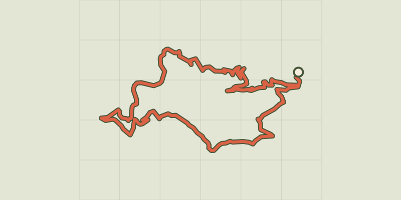 © OpenStreetMap, SRTM · OpenTopoMap (CC-BY-SA)
Signal de Ventalon - VTT n°4
Cévennes, Vialas (48) · LoopOfficial rating by Parc national des Cévennes © OpenStreetMap, SRTM · OpenTopoMap (CC-BY-SA)
Bois de la Méjarié - VTT n°8
Cévennes, Vialas (48) · LoopOfficial rating by Parc national des Cévennes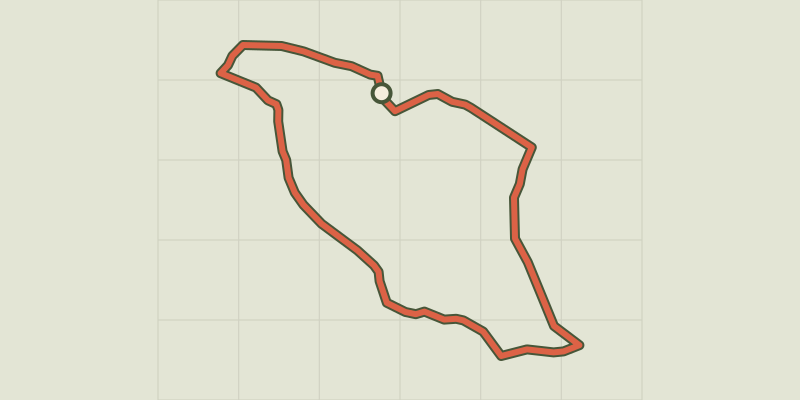 © OpenStreetMap, SRTM · OpenTopoMap (CC-BY-SA)
Bayard, MTB circuit #6 (green)
Cévennes, Vialas (48) · LoopOfficial rating by Parc national des Cévennes © OpenStreetMap, SRTM · OpenTopoMap (CC-BY-SA)
Around Pic du Cassini, MTB circuit #11 (black)
Cévennes, Pont de Montvert - Sud Mont Lozère (48) · LoopOfficial rating by Parc national des Cévennes © OpenStreetMap, SRTM · OpenTopoMap (CC-BY-SA)
Pont du Tarn, MTB circuit #9 (blue)
Cévennes, Pont de Montvert - Sud Mont Lozère (48) · LoopOfficial rating by Parc national des Cévennes