
Pré d'Haut - N°25

Key facts
- Distance
- 15.8 km
- Ascent
- +332 m
- Descent
- −265 m
- Estimated time
- 4 hr 05
- hiking
- Difficulty
- Moderate
- official rating
- Route
- Loop
- back to the start
Official time: 4 h
Profile and gradient
- under 10%
- 10 to 20%
- over 20%
Gradient along the route: 15.4 km under 10% and 0.4 km at 10 to 20%. Elevation from 1,086 m to 1,271 m over 15.8 km.
Difficulty
Official rating: moderate, by Département du Doubs.
Getting there
Start: Chapelle-des-Bois, Parking départ des pistes, Chapelle-des-Bois (25).
Sources
- Track: Département du Doubs (explore.doubs.fr), ODbL, ODbL 1.0 (explore.doubs.fr/trek/845-Pre-d-Haut---N25). Time estimated by GPX Path with the Mac app rule, breaks not included.
- Official time: 4 h, explore.doubs.fr
- Official elevation gain: 332 m, Département du Doubs
Nearby tracks

 © OpenStreetMap, SRTM · OpenTopoMap (CC-BY-SA)
Les Passeurs - N°20
Haut-Jura, Chapelle-des-Bois (25) · LoopOfficial rating by Département du Doubs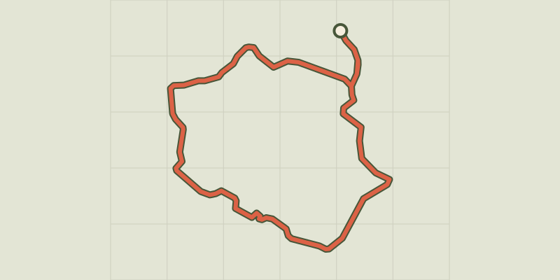 © OpenStreetMap, SRTM · OpenTopoMap (CC-BY-SA)
Chez Michel ou la Tourbière - N°27
Haut-Jura, Chapelle-des-Bois (25) · LoopOfficial rating by Département du Doubs © OpenStreetMap, SRTM · OpenTopoMap (CC-BY-SA)
Les Lacs - N°24
Haut-Jura, Chapelle-des-Bois (25) · LoopOfficial rating by Département du Doubs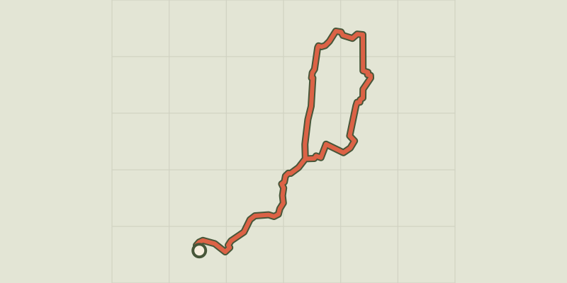 © OpenStreetMap, SRTM · OpenTopoMap (CC-BY-SA)
Ecomusée - Combe des Cives - N°21
Haut-Jura, Chapelle-des-Bois (25) · LoopOfficial rating by Département du Doubs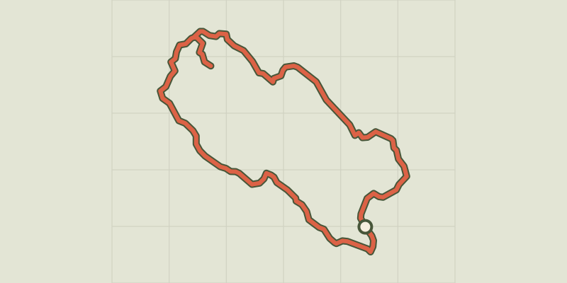 © OpenStreetMap, SRTM · OpenTopoMap (CC-BY-SA)
Creux Maldru - N°19
Haut-Jura, Chapelle-des-Bois (25) · LoopOfficial rating by Département du Doubs © OpenStreetMap, SRTM · OpenTopoMap (CC-BY-SA)
Grotte à Pierre du Bourg - N°18
Haut-Jura, Chapelle-des-Bois (25) · LoopOfficial rating by Département du Doubs