
Aiguebrun valley

Key facts
- Distance
- 11.4 km
- Ascent
- +377 m
- Descent
- −314 m
- Estimated time
- 3 hr 10
- hiking
- Difficulty
- Moderate
- official rating
- Route
- Loop
- back to the start
Profile and gradient
- under 10%
- 10 to 20%
- over 20%
Gradient along the route: 8.8 km under 10% and 2.6 km at 10 to 20%. Elevation from 416 m to 567 m over 11.4 km.
Description
The magical trilogy! Aiguebrun, the plateau of Claparèdes and picturesque villages. The soul of Luberon... « Because of my job and my passion for rock climbing, mountain biking and hiking, there are few corners of the valley that I do not know of.! And yet, I still happen to discover a unique facet. I love the wild side of the place, the beautiful rounded volumes of stones, the tails of the jackdaws, the light sectioned on the ground cover, but also the delicate presence of man at all stages of this paradise.! ». Eric Garnier, Head of Studies for outdoor sports at the Luberon RNP. Go right on the D113 and turn left. Outside the town hall, go straight. At the corner of the inn, go down to the left. Come out on the D113 (traffic!), cross the bridge and go left until the hamlet of Deyme. Continue on the dirt road, then rise slowly towards the plateau. 1 - At the crossroads"Les Ramades'', turn right and descend to the cliff edge. Continue left on the trail that winds over the void. Further down, turn right and descend the hairpin bends"Chemin dei frau", formerly in cobblestone (careful, the GR® cuts the 1st turn). At the bottom of the hairpin bends, take a right. At the next intersection, turn left, cross the bridge and go up across. 2 - At the crossroads"Aiguebrun'', turn left, then 30m further, turn left towards"Sivergues''. After a succession of steep paths and small descents, spot on a flat stone the sign"Sivergues''. Leave the banks of the Aiguebrun and rise gradually. Continue on the rocky path until the town of Sivergues. 3 - Climb the cobblestone across. Turn left and reach the entrance of the village. At the car park, take a left onto the Chantebelle track and at the 1st turn, continue straight on the path. Skip two corners and continue down the gravel path. Pass a cobblestone section and reach to the valley bottom. Go to the right, cross the ford of Aiguebrun and go up the opposite bank. Pass a cobblestone section and continue across on the rocky path. Pass a corner on the left then turn right at the next intersection. Go up the trail that weaves through the horse paddock. Reach the plateau and continue across on the shaded path that passes between old walls. 4 - At the crossroads"Barbe Blanche", turn left and take the small road through the Claparèdes plateau. At the crossroads"Chante Duc", continue straight, hurtle down 3 hairpin bends and continue to Buoux.
Difficulty
Official rating: moderate, by Parcs naturels régionaux de Provence-Alpes-Côte d'Azur.
Before you go
- - after point 1: passage on the edge of the void.
- - between points 3 and 4: a ford.
- Caution with your ankles on the numerous cobblestone and rocky areas.
Getting there
Start: Parking Val de Loubes, Buoux, Buoux (84).
Sources
- Track: Parcs naturels régionaux de Provence-Alpes-Côte d'Azur (Chemins des Parcs), Licence Ouverte 2.0, Licence Ouverte 2.0 (Etalab) (www.cheminsdesparcs.fr/trek/33280-BUOUX---Vallon-de-l-Aiguebrun). Time estimated by GPX Path with the Mac app rule, breaks not included.
- Official elevation gain: 377 m, Parcs naturels régionaux de Provence-Alpes-Côte d'Azur
Nearby tracks

 © OpenStreetMap, SRTM · OpenTopoMap (CC-BY-SA)
The Claparèdes plateau
Luberon, Buoux (84) · LoopOfficial rating by Parcs naturels régionaux de Provence-Alpes-Côte d'Azur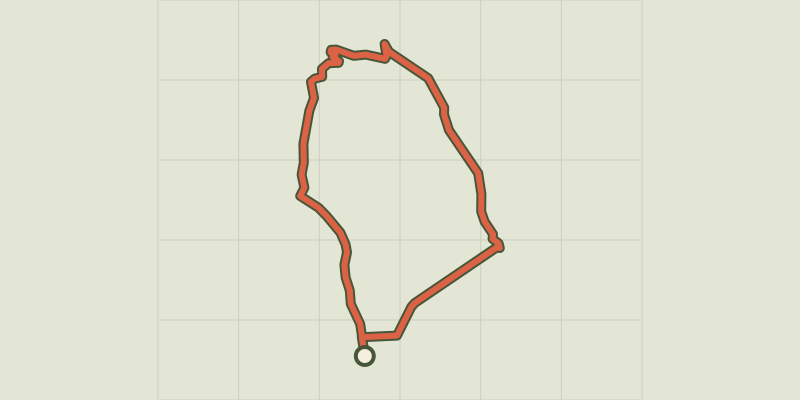 © OpenStreetMap, SRTM · OpenTopoMap (CC-BY-SA)
Apt - Petit tour de Rocsalière
Luberon, Saignon (84) · LoopOfficial rating by Parcs naturels régionaux de Provence-Alpes-Côte d'Azur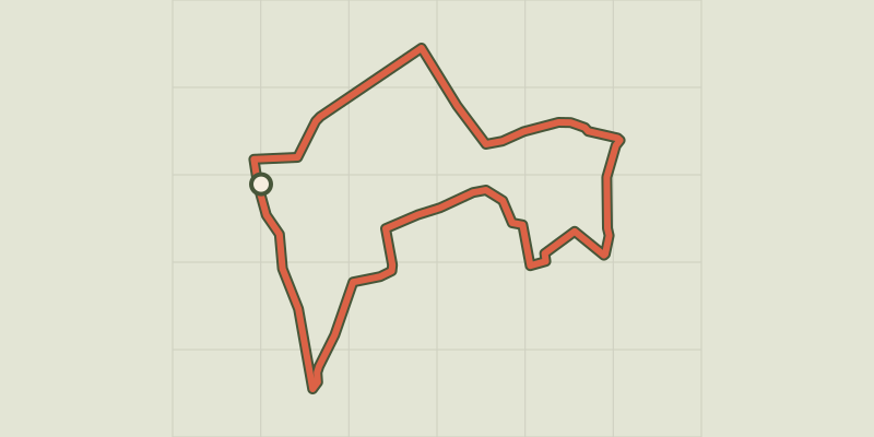 © OpenStreetMap, SRTM · OpenTopoMap (CC-BY-SA)
The Claparèdes plateau
Luberon, Saignon (84) · LoopOfficial rating by Parcs naturels régionaux de Provence-Alpes-Côte d'Azur © OpenStreetMap, SRTM · OpenTopoMap (CC-BY-SA)
The Claparèdes plateau
Luberon, Saignon (84) · LoopOfficial rating by Parcs naturels régionaux de Provence-Alpes-Côte d'Azur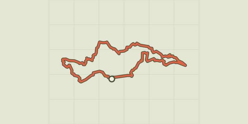 © OpenStreetMap, SRTM · OpenTopoMap (CC-BY-SA)
Apt - Tour des ocres du Luberon en 4 jours
Luberon, Apt (84) · Point to pointOfficial rating by Parcs naturels régionaux de Provence-Alpes-Côte d'Azur © OpenStreetMap, SRTM · OpenTopoMap (CC-BY-SA)
Apt - ROUSSILLON - Épopée industrielle de l'ocre
Luberon, Apt (84) · Point to pointOfficial rating by Parcs naturels régionaux de Provence-Alpes-Côte d'Azur