
Between the scrubland and the Durance river

Key facts
- Distance
- 4.2 km
- Ascent
- +44 m
- Descent
- −23 m
- Estimated time
- 1 hr
- hiking
- Difficulty
- Easy
- official rating
- Route
- Loop
- back to the start
Profile and gradient
- under 10%
- 10 to 20%
- over 20%
Gradient along the route: 4.2 km under 10%. Elevation from 116 m to 142 m over 4.2 km.
Description
Aromas from pines and scrub, mix of meanders and the tranquillity of the birds. A triumphant Durance cocktail! « This body of water, upstream of the dam of Mallemort on the Durance, is of prime importance for birds. For example, it is the largest winter dormitory of the region for cormorants.! With its wealthy wildlife and therefore in preys, the Durance offers a prime hunting ground for raptors such as the Grand Duke or the Bonneli Eagle,nesting in the cliffs of the Petit Luberon nearby». Aline Salvaudon project manager of the natural areas at the RNP of Luberon. Cross the second barrier and go straight into the woods. Continue straight at the first intersection and then at the intersection shaped in a Y, take a right. Reach the point of view of the Durance (do not go beyond reason to the cliff edge).!) 1 - Take a right. Continue straight to the next crossing. 2 - Do not miss on the left the path going down to the valley of the Grand Jardin. Go past a house and crops and upon arriving on a small road, go across under the railway track. Take the second road ahead and then the dirt road across (old car park). Cross the little bridge over the old canal of Carpentras. 3 - .Continue straight Reach to another path. Turn left, climb the dam by the stairs and reach the bird observatory. Retrace your steps and turn left at the foot of the staircase. Leave behind the track taken at the beginning and continue straight the path at the foot of the dam. On the bridle path, continue on the right along a large field and reach the Carpentras canal. Continue to the right until the end of the dirt road. 4 - Just before the road, turn right, go through the woods and follow the path along the old canal. Come back to the small bridge (point 3). 3 - Take a sharp left and go back to the forest of La Garrigue (point 2) by the route taken at the beginning. 2 - At the top of the steep hill, continue straight. Then take a right to return to the starting point calmly.
Difficulty
Official rating: easy, by Parcs naturels régionaux de Provence-Alpes-Côte d'Azur.
Before you go
- Do not go too close to the cliff edges (point 1) and irrigation canals (before and after point 4). Be discreet if you want to watch birds from the observatory (after point 3).
Getting there
Start: Parking de La Garrigue, Mérindol, Mérindol (84).
Sources
- Track: Parcs naturels régionaux de Provence-Alpes-Côte d'Azur (Chemins des Parcs), Licence Ouverte 2.0, Licence Ouverte 2.0 (Etalab) (www.cheminsdesparcs.fr/trek/26094-MERINDOL---Entre-garrigue-et-Durance). Time estimated by GPX Path with the Mac app rule, breaks not included.
- Official elevation gain: 44 m, Parcs naturels régionaux de Provence-Alpes-Côte d'Azur
Nearby tracks

 © OpenStreetMap, SRTM · OpenTopoMap (CC-BY-SA)
Mérindol - Petit tour de La Garrigue
Luberon, Mérindol (84) · LoopOfficial rating by Parcs naturels régionaux de Provence-Alpes-Côte d'Azur © OpenStreetMap, SRTM · OpenTopoMap (CC-BY-SA)
Mérindol - Sentier de La Garrigue
Luberon, Mérindol (84) · Out and backOfficial rating by Parcs naturels régionaux de Provence-Alpes-Côte d'Azur © OpenStreetMap, SRTM · OpenTopoMap (CC-BY-SA)
Traces Vaudoises
Luberon, Mérindol (84) · LoopOfficial rating by Parcs naturels régionaux de Provence-Alpes-Côte d'Azur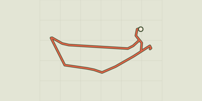 © OpenStreetMap, SRTM · OpenTopoMap (CC-BY-SA)
Mérindol - Sentier de l'observatoire
Luberon, Mérindol (84) · LoopOfficial rating by Parcs naturels régionaux de Provence-Alpes-Côte d'Azur © OpenStreetMap, SRTM · OpenTopoMap (CC-BY-SA)
Puget-sur-Durance - Sur les chemins des Huguenots
Luberon, Puget (84) · LoopOfficial rating by Parcs naturels régionaux de Provence-Alpes-Côte d'Azur © OpenStreetMap, SRTM · OpenTopoMap (CC-BY-SA)
Cheval-Blanc - Crau des Mayorques
Luberon, Cheval-Blanc (84) · LoopOfficial rating by Parcs naturels régionaux de Provence-Alpes-Côte d'Azur