
Saignon, La Gardette path

Key facts
- Distance
- 6.9 km
- Ascent
- +194 m
- Descent
- −163 m
- Estimated time
- 1 hr 55
- hiking
- Difficulty
- Easy
- official rating
- Route
- Loop
- back to the start
Profile and gradient
- under 10%
- 10 to 20%
- over 20%
Gradient along the route: 6.1 km under 10% and 0.9 km at 10 to 20%. Elevation from 478 m to 628 m over 6.9 km.
Description
A secular trace to dominate the horizon but also to search the myriad of hutches and dry stone huts. "The trail sneaks into the undergrowth to quickly reach the Claparèdes plateau. The views are revealed one by one, from Ventoux to Lure. Along the old path that connected Saignon and Auribeau, slender or stocky, aligned or collapsed, hide a multitude of walls, bories and piles of stones grouped by the Man to clear the fields to cultivate ... On arrival, Saignon, one of the most beautiful hilltop villages of the Luberon, is open to visitors. Eric Garnier, responsible of nature sports studies to the RNP Luberon. At the bottom of the car park go up the caladée ramp and join the Bourgades street. Turn right and join the road junction at the entrance of the village (Calvary). Turn left to pass the school then, at the height of the village hall, climb to the right three stone steps and follow the path undergrowth (local PR, markings green lines). Continue the path at the foot of the cliff and continue on a gentle slope in the woods. At the first obvious intersection, turn right, go up a rocky section and join the D48. Take the left on 150 m (caution!). 1- At the height of a large field, go left on the dirt road (local PR, green lines marking). Go up to the plateau of La Gardette. 2- At the Y, turn right and continue the path. Straight ahead get on the path (green lines). Cross a very heavily paved section and then switch to a slight descent on the side of the plateau. Further down, follow the path on the left (green lines). Climb a jump and reach a crossroads. 3- Turn right and then left (green lines). Get higher on the D48. Cross it and take the path that climbs to the left (green lines). Reach a wide path. 4- Turn right on the path (PR) and join the D48 (post "Chemin de la Française"). Take on the left the D48 on 560 m. At the end of a bend (caution!), Turn left on the small Fondons car park. 5- Go to the bottom of the car park on the stony path (PR). Cross a rocky section, continue straight, pass between two lavender fields and reach a crossroads of trails (post "Le Colombier", iron cross). 6- Turn right (GR® and GRP®), slip under the hedge of trees and brambles and reach a road. Turn 20 m to the right and continue the stony path that starts on the left edge of the road (GR® and GRP®). Take the tormented path down to the road and follow it 130 m on the left. 7- At the stop, turn left and follow the D48 towards Saignon. 280 m further down the first path (GR® and GRP®). At the bottom, take the D48 again for 30 m and take the path on the left (GR® and GRP®). Go straight Exit on the D48, go down 60 m on the left and then go down on the right the concrete road that leads to the entrance of the village of Saignon (GR® and GRP®).
Difficulty
Official rating: easy, by Parcs naturels régionaux de Provence-Alpes-Côte d'Azur.
Before you go
- Be careful of hives and herd dogs that may be encountered on the way; make a detour, perhaps a U-turn if necessary. Caution when crossing roads.
Getting there
Start: Parking du Pasquier, Saignon, Saignon (84).
Sources
- Track: Parcs naturels régionaux de Provence-Alpes-Côte d'Azur (Chemins des Parcs), Licence Ouverte 2.0, Licence Ouverte 2.0 (Etalab) (www.cheminsdesparcs.fr/trek/58613-SAIGNON---Chemin-de-la-Gardette). Time estimated by GPX Path with the Mac app rule, breaks not included.
- Official elevation gain: 194 m, Parcs naturels régionaux de Provence-Alpes-Côte d'Azur
Nearby tracks

 © OpenStreetMap, SRTM · OpenTopoMap (CC-BY-SA)
The Claparèdes plateau
Luberon, Saignon (84) · LoopOfficial rating by Parcs naturels régionaux de Provence-Alpes-Côte d'Azur © OpenStreetMap, SRTM · OpenTopoMap (CC-BY-SA)
Caseneuve - Du Calavon à la Dôa
Luberon, Caseneuve (84) · LoopOfficial rating by Parcs naturels régionaux de Provence-Alpes-Côte d'Azur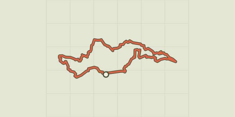 © OpenStreetMap, SRTM · OpenTopoMap (CC-BY-SA)
Apt - Tour des ocres du Luberon en 4 jours
Luberon, Apt (84) · Point to pointOfficial rating by Parcs naturels régionaux de Provence-Alpes-Côte d'Azur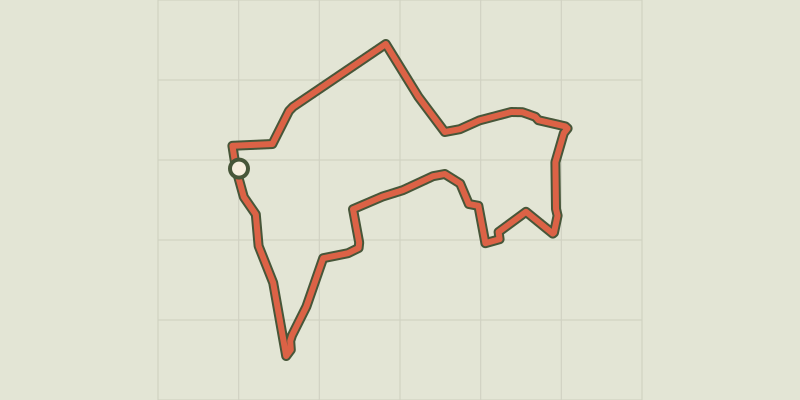 © OpenStreetMap, SRTM · OpenTopoMap (CC-BY-SA)
The Claparèdes plateau
Luberon, Saignon (84) · LoopOfficial rating by Parcs naturels régionaux de Provence-Alpes-Côte d'Azur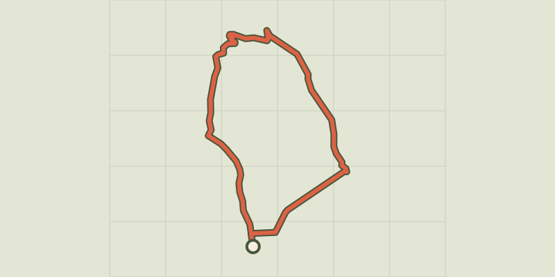 © OpenStreetMap, SRTM · OpenTopoMap (CC-BY-SA)
Apt - Petit tour de Rocsalière
Luberon, Saignon (84) · LoopOfficial rating by Parcs naturels régionaux de Provence-Alpes-Côte d'Azur © OpenStreetMap, SRTM · OpenTopoMap (CC-BY-SA)
Apt - ROUSSILLON - Épopée industrielle de l'ocre
Luberon, Apt (84) · Point to pointOfficial rating by Parcs naturels régionaux de Provence-Alpes-Côte d'Azur