
The Bastidon Pradon

Key facts
- Distance
- 8.9 km
- Ascent
- +562 m
- Descent
- −532 m
- Estimated time
- 3 hr 15
- hiking
- Difficulty
- Difficult
- official rating
- Route
- Loop
- back to the start
Profile and gradient
- under 10%
- 10 to 20%
- over 20%
Gradient along the route: 4.7 km under 10%, 2.0 km at 10 to 20% and 2.2 km over 20%. Elevation from 185 m to 705 m over 8.9 km.
Description
A quick and active ascent of the north side of the Petit Luberon, in a wild atmosphere between forest and scrubland. A long lasting feeling, pure thrill! Starting from Oppède-le-Vieux and its rocky outcrop, the route quickly climbs to the summit plateau of the Petit Luberon (705m), penetrates a short time under the great cedars to unveil the cabin in Bastidon du Pradon then plunges to the north side by a succession of bare mountains between scrubland and rock. Wide open vistas of the Calavon valley, the Monts-de-Vaucluse and the Ventoux further. The final descent, steep and wild finishes under the cedars and returns to the village by an old cobblestone road. From the Place de la Croix, go along the halls, keep walking and turn left on Rue de l'Ecole". Turn right and reach below the Chemin de la Fontaine (GR®). Take the road on the right. 1- At the crossroads "Poudarrigue'', continue the GR® to the right and climb the stony path. Reach a hillock (338m) and continue up to the right. After the several switchbacks, continue climbing the mount and finally reach the paved forest path. 2- Turn left and 20m further go to the right in the undergrowth (GR®). Reach the small mountain hut of Bastidon du Pradon 150m away. Retrace your steps to the point 2, turn left and take the forest track to the west (PR). 250m further, pass the crossroads "La Jassine" and continue straight, on the track. Let yourself slide over 1km. 3- At the crossroads "Les Aires de Bedoin'', turn right and follow the dirt and stone track. Continue on 400m on the plateau. 4- Be careful not to miss the path on the right (Cairn - turn around if you reach to the weather station!). Moving forward on the edge of the Barre de Fiot (markings hardly noticeable). After the Barre de Gautier, move to the right (point 601m), go 300m down and switch left into the valley. 500m further and 180m lower down, continue on the left flank of the valley, crossing several hairpin bends and come out on the trail in the foothills. 5- Turn right (GR®), descend some more then rise slightly to switch to the clearing of Combrès valley. After the vineyard, turn left at the crossroads "Combrès", then climb the old cobblestone path to the right that leads up some steps in the village of Oppède-le-Vieux.
Difficulty
Official rating: difficult, by Parcs naturels régionaux de Provence-Alpes-Côte d'Azur.
Before you go
- At the starting point, following a landslide, the original route of the GR ® in the streets of Oppède-le-Vieux was rerouted. It goes a bit down the street from the school and not by the old staircase located at the end of the Rue du Portalet (follow signs).
- Be careful with your ankles on the limestone eroded areas (lapiaz) and descending the Barre de Gautier (between points 4 and 5).
Getting there
Start: Place de la Croix, centre du Vieil Oppède, Oppède (84).
Sources
- Track: Parcs naturels régionaux de Provence-Alpes-Côte d'Azur (Chemins des Parcs), Licence Ouverte 2.0, Licence Ouverte 2.0 (Etalab) (www.cheminsdesparcs.fr/trek/30457-OPPEDE---Le-Bastidon-du-Pradon). Time estimated by GPX Path with the Mac app rule, breaks not included.
- Official elevation gain: 562 m, Parcs naturels régionaux de Provence-Alpes-Côte d'Azur
Nearby tracks

 © OpenStreetMap, SRTM · OpenTopoMap (CC-BY-SA)
Mourre de Cairas
Luberon, Oppède (84) · LoopOfficial rating by Parcs naturels régionaux de Provence-Alpes-Côte d'Azur © OpenStreetMap, SRTM · OpenTopoMap (CC-BY-SA)
Oppède - Les prés des Poulivets
Luberon, Oppède (84) · LoopOfficial rating by Parcs naturels régionaux de Provence-Alpes-Côte d'Azur © OpenStreetMap, SRTM · OpenTopoMap (CC-BY-SA)
Maubec - La draille des frères Nouguier
Luberon, Maubec (84) · LoopOfficial rating by Parcs naturels régionaux de Provence-Alpes-Côte d'Azur © OpenStreetMap, SRTM · OpenTopoMap (CC-BY-SA)
Maubec - OPPEDE - Chemins traversiers
Luberon, Maubec (84) · LoopOfficial rating by Parcs naturels régionaux de Provence-Alpes-Côte d'Azur © OpenStreetMap, SRTM · OpenTopoMap (CC-BY-SA)
Robion - Rochers de Baude et Crane de Colombier
Luberon, Robion (84) · LoopOfficial rating by Parcs naturels régionaux de Provence-Alpes-Côte d'Azur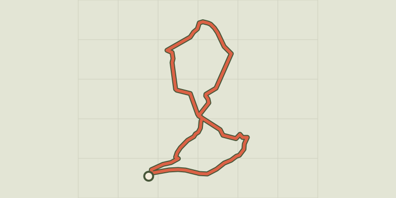 © OpenStreetMap, SRTM · OpenTopoMap (CC-BY-SA)
Les Beaumettes - Balade des garrigues
Luberon, Beaumettes (84) · LoopOfficial rating by Parcs naturels régionaux de Provence-Alpes-Côte d'Azur