
Happiness is near the lake
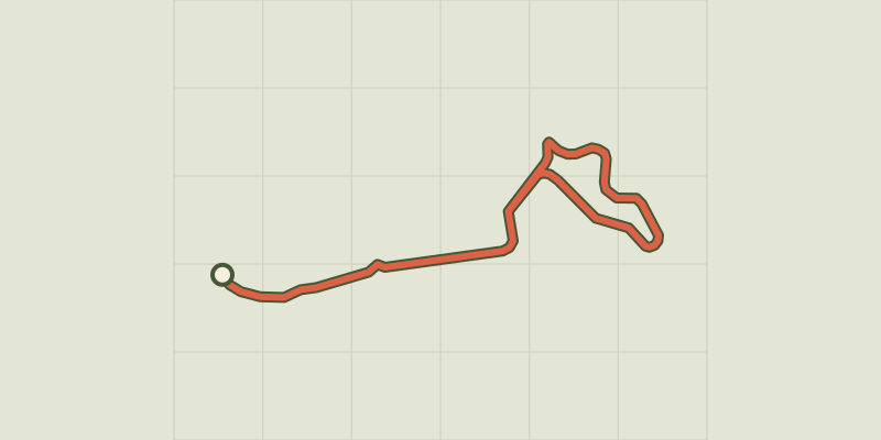
Key facts
- Distance
- 4.8 km
- Ascent
- +79 m
- Descent
- −55 m
- Estimated time
- 15 min
- road cycling
- Difficulty
- Very easy
- official rating
- Route
- Loop
- back to the start
Profile and gradient
- under 10%
- 10 to 20%
- over 20%
Gradient along the route: 4.7 km under 10% and 0.1 km at 10 to 20%. Elevation from 1,103 m to 1,153 m over 4.8 km.
Description
An ideal family circuit for exploring the village of Camprieu and its surroundings, including Bonheur Lake and its chalets. Rest by Bonheur Lake. In summer, you can plunge into the waters. Enjoy the calm along the lake before you leave it behind. Start in the village of Camprieu. Leave by the D157 towards L’Espérou. - At the roundabout, continue straight towards Lac du Bonheur. - Cross the bridge before the lake, then continue straight towards Le Devois. Do an anti-clockwise loop in Le Devois; then return to Bonheur Lake and Camprieu on the same itinerary as you took to get there.
Difficulty
Official rating: very easy, by Parc national des Cévennes.
Before you go
- Before committing yourself to a circuit, ensure that it is suitable for your activity level and ability. Respect traffic laws and other road users; stay in control of your speed and trajectory. Make sure to be seen and travel in single file when in a group. Remember that the weather changes quickly in the mountains. Take enough water. Safe trip !
Getting there
Start: Camprieu, Saint-Sauveur-Camprieu (30).
Sources
- Track: Parc national des Cévennes, Licence Ouverte 1.0, Licence Ouverte 1.0 (Etalab) (destination.cevennes-parcnational.fr/trek/95026-Le-Bonheur-est-pres-du-lac). Time estimated by GPX Path with the Mac app rule, breaks not included.
- Official elevation gain: 79 m, Parc national des Cévennes
Nearby tracks

 © OpenStreetMap, SRTM · OpenTopoMap (CC-BY-SA)
Road bike circuit #3
Cévennes, Dourbies (30) · Out and backOfficial rating by Parc national des Cévennes © OpenStreetMap, SRTM · OpenTopoMap (CC-BY-SA)
Col Salidès
Cévennes, Val-d'Aigoual (30) · LoopOfficial rating by Parc national des Cévennes © OpenStreetMap, SRTM · OpenTopoMap (CC-BY-SA)
Le tour du Suquet - escapades à vélo
Cévennes, Dourbies (30) · LoopOfficial rating by Parc national des Cévennes © OpenStreetMap, SRTM · OpenTopoMap (CC-BY-SA)
Tour in the Sud Cévennes
Cévennes, Dourbies (30) · LoopOfficial rating by Parc national des Cévennes © OpenStreetMap, SRTM · OpenTopoMap (CC-BY-SA)
Le tour du mont Aigoual en 4 jours - Vélo route
Cévennes, Dourbies (30) · Point to pointOfficial rating by Parc national des Cévennes © OpenStreetMap, SRTM · OpenTopoMap (CC-BY-SA)
Oceanic slope of Aigoual
Cévennes, Dourbies (30) · LoopOfficial rating by Parc national des Cévennes