
Circuit Gallo-Romain
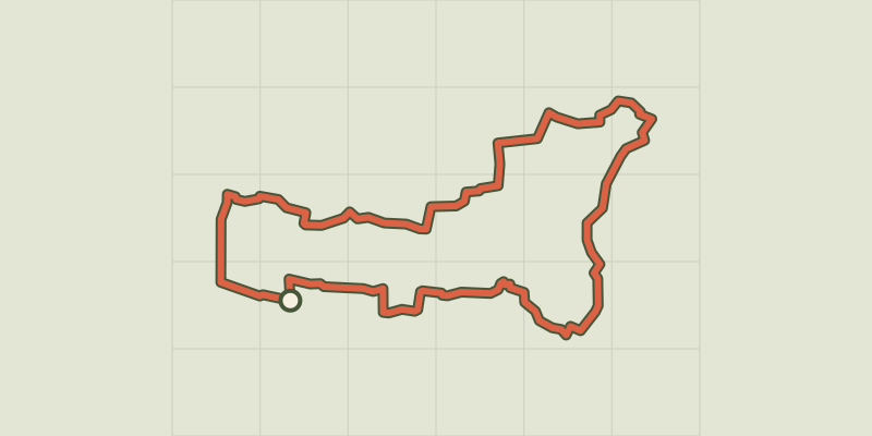
Key facts
- Distance
- 12.1 km
- Ascent
- +146 m
- Descent
- −146 m
- Estimated time
- 3 hr
- hiking
- Difficulty
- Moderate
- official rating
- Route
- Loop
- back to the start
Official time: 3 h
Profile and gradient
- under 10%
- 10 to 20%
- over 20%
Gradient along the route: 12.1 km under 10%. Elevation from 18 m to 75 m over 12.1 km.
Description
Difficulty
Official rating: moderate, by Département de Loire-Atlantique.
Getting there
Start: Mouzillon, Mouzillon (44).
Sources
- Track: Département de Loire-Atlantique, PDIPR, Licence Ouverte 2.0, Licence Ouverte 2.0 (Etalab) (www.levignobledenantes-tourisme.com/circuit-et-randonnee/boucle-circuit-gallo-romain/). Time estimated by GPX Path with the Mac app rule, breaks not included.
- Official time: 3 h, levignobledenantes-tourisme.com
Nearby tracks

 © OpenStreetMap, SRTM · OpenTopoMap (CC-BY-SA)
Circuit des Vignes
Pays de la Loire, Mouzillon (44) · LoopOfficial rating by Département de Loire-Atlantique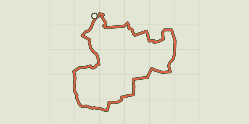 © OpenStreetMap, SRTM · OpenTopoMap (CC-BY-SA)
Circuit des Coteaux
Pays de la Loire, Vallet (44) · LoopOfficial rating by Département de Loire-Atlantique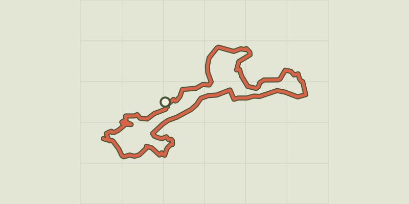 © OpenStreetMap, SRTM · OpenTopoMap (CC-BY-SA)
Circuit de la Sèvre à la Moine
Pays de la Loire, Clisson (44) · LoopOfficial rating by Département de Loire-Atlantique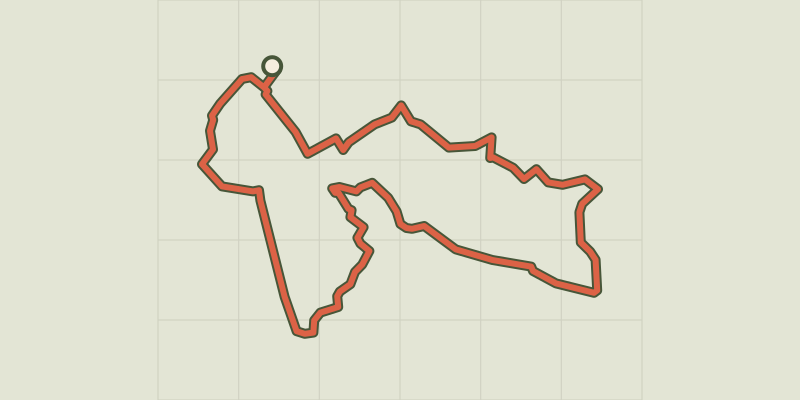 © OpenStreetMap, SRTM · OpenTopoMap (CC-BY-SA)
Circuit de la Sanguèze
Pays de la Loire, Le Pallet (44) · LoopOfficial rating by Département de Loire-Atlantique © OpenStreetMap, SRTM · OpenTopoMap (CC-BY-SA)
Circuit du Château de la Noë
Pays de la Loire, Vallet (44) · LoopOfficial rating by Département de Loire-Atlantique © OpenStreetMap, SRTM · OpenTopoMap (CC-BY-SA)
Au coeur de Clisson
Pays de la Loire, Gétigné (44) · LoopOfficial rating by Département de Loire-Atlantique