
The Courchon path

Key facts
- Distance
- 8.6 km
- Ascent
- +548 m
- Descent
- −486 m
- Estimated time
- 3 hr 05
- hiking
- Difficulty
- Moderate
- official rating
- Route
- Loop
- back to the start
Profile and gradient
- under 10%
- 10 to 20%
- over 20%
Gradient along the route: 4.3 km under 10%, 3.6 km at 10 to 20% and 0.6 km over 20%. Elevation from 577 m to 929 m over 8.6 km.
Description
The Courchon path is one of the most grandiose, the most daring and the best preserved vestiges of a medieval road. Since 1981, Moustiers-Sainte-Marie is ranked one of the most beautiful villages in France. The pretty Courchon path makes it possible to make the tour of Moustiers by the ravine of Notre-Dame where is suspended the Etoile de Moustiers and to take the Roman way. All while enjoying beautiful views, including Lake St. Croix, le plateau de Valensole but also Mont Ventoux and Sainte-Baume. 1 - Start the hike by climbing to the Church of Notre-Dame-de-Beauvoir. Climb by the cobbled staircase and lined with small oratories. 2 - Once at the Notre-Dame chapel, go down a few meters to take the path on the right (yellow markings) indicated chemin de la chaine. Climb the steep path until you reach a first cairn, follow the indication ravin de Notre-Dame. At the next intersection, 100m further follow baisse de Courchon. 3 - Once to the baisse of Courchon, (post with arrow 28) turn right on the Roman road, pass a small pass and then down on Moustiers by the Roman road.
Difficulty
Official rating: moderate, by Parcs naturels régionaux de Provence-Alpes-Côte d'Azur.
Before you go
- Avoid the hot summer, take 2 liters of water and hiking shoes (avoid rain slippery slabs).
Getting there
Start: Parking du stade, Moustiers, Moustiers-Sainte-Marie (04).
Sources
- Track: Parcs naturels régionaux de Provence-Alpes-Côte d'Azur (Chemins des Parcs), Licence Ouverte 2.0, Licence Ouverte 2.0 (Etalab) (www.cheminsdesparcs.fr/trek/63851-MOUSTIERS-SAINTE-MARIE---Le-sentier-de-Courchon). Time estimated by GPX Path with the Mac app rule, breaks not included.
- Official elevation gain: 548 m, Parcs naturels régionaux de Provence-Alpes-Côte d'Azur
Nearby tracks

 © OpenStreetMap, SRTM · OpenTopoMap (CC-BY-SA)
Moustiers-Sainte-Marie - Le Tour du lac de Sainte-Croix
Verdon, Moustiers-Sainte-Marie (04) · Point to pointOfficial rating by Parcs naturels régionaux de Provence-Alpes-Côte d'Azur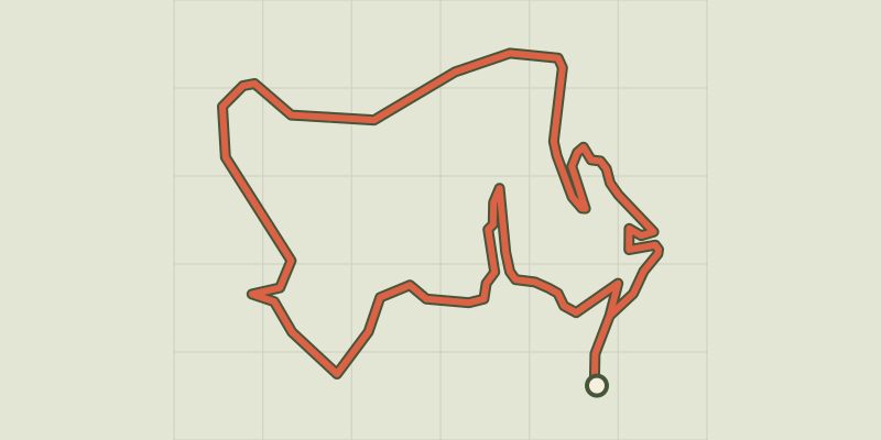 © OpenStreetMap, SRTM · OpenTopoMap (CC-BY-SA)
Moustiers-Sainte-Marie - Les Claux
Verdon, Moustiers-Sainte-Marie (04) · LoopOfficial rating by Parcs naturels régionaux de Provence-Alpes-Côte d'Azur © OpenStreetMap, SRTM · OpenTopoMap (CC-BY-SA)
The botanical trail of Tréguier
Verdon, Moustiers-Sainte-Marie (04) · Out and backOfficial rating by Parcs naturels régionaux de Provence-Alpes-Côte d'Azur © OpenStreetMap, SRTM · OpenTopoMap (CC-BY-SA)
Tour des Gorges du Verdon
Verdon, Moustiers-Sainte-Marie (04) · Point to pointOfficial rating by Parcs naturels régionaux de Provence-Alpes-Côte d'Azur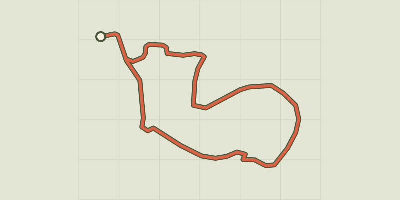 © OpenStreetMap, SRTM · OpenTopoMap (CC-BY-SA)
Moustiers-Sainte-Marie - Le sentier découverte de Valx
Verdon, Moustiers-Sainte-Marie (04) · LoopOfficial rating by Parcs naturels régionaux de Provence-Alpes-Côte d'Azur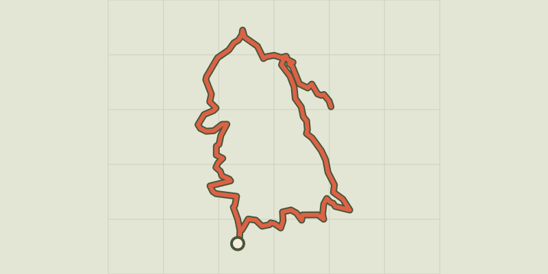 © OpenStreetMap, SRTM · OpenTopoMap (CC-BY-SA)
Moustiers-Sainte-Marie - Le sommet du Montdenier
Verdon, Moustiers-Sainte-Marie (04) · LoopOfficial rating by Parcs naturels régionaux de Provence-Alpes-Côte d'Azur