
MTB GPX tracks in Auvergne
7 GPX tracks in Auvergne, with distance, elevation gain and time for each track. Filter by department, sport, distance, elevation gain and time.
Departments in Auvergne
Filter the list below by department.
Regions
Pick a region on the map or below. Grey regions have no tracks yet.
All GPX tracks in Auvergne

 © OpenStreetMap, SRTM · OpenTopoMap (CC-BY-SA)
GTMC VTT10 Chantelle / Riom
Auvergne, Chantelle (03) · Point to point © OpenStreetMap, SRTM · OpenTopoMap (CC-BY-SA)
GTMC VTT11 Riom / Clermont-Ferrand
Auvergne, Riom (63) · Point to point © OpenStreetMap, SRTM · OpenTopoMap (CC-BY-SA)
GTMC VTT12 Clermont-Ferrand / Volvic
Auvergne, Clermont-Ferrand (63) · Point to point © OpenStreetMap, SRTM · OpenTopoMap (CC-BY-SA)
GTMC VTT13 Volvic / Laschamps
Auvergne, Volvic (63) · Point to point © OpenStreetMap, SRTM · OpenTopoMap (CC-BY-SA)
GTMC VTT14 Laschamps / Murol
Auvergne, Saint-Genès-Champanelle (63) · Point to point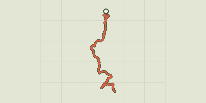 © OpenStreetMap, SRTM · OpenTopoMap (CC-BY-SA)
GTMC VTT15 Murol / St-Alyre es Montagne
Auvergne, Murol (63) · Point to point © OpenStreetMap, SRTM · OpenTopoMap (CC-BY-SA)
GTMC VTT16 St-Alyre es Montagne / Chalinargues
Auvergne, Saint-Alyre-ès-Montagne (63) · Point to point