
GPX tracks in Provence-Alpes-Côte d'Azur
1,053 GPX tracks in Provence-Alpes-Côte d'Azur, with distance, elevation gain and time for each track. Filter by department, sport, distance, elevation gain and time.
Departments in Provence-Alpes-Côte d'Azur
Filter the list below by department.
Regions
Pick a region on the map or below. Grey regions have no tracks yet.
Destinations
Mountain ranges, parks and towns: the tracks found there, across regions.
All GPX tracks in Provence-Alpes-Côte d'Azur

 © OpenStreetMap, SRTM · OpenTopoMap (CC-BY-SA)
[Sens Action] - Les géants de pierre (the stone giants) and the lion de Salados (lion of Salados)
Provence-Alpes-Côte d'Azur, Chorges (05) · LoopOfficial rating by Parc national des Écrins © OpenStreetMap, SRTM · OpenTopoMap (CC-BY-SA)
[Sens Action] - The thousand waterfalls
Provence-Alpes-Côte d'Azur, Baratier (05) · LoopOfficial rating by Parc national des Écrins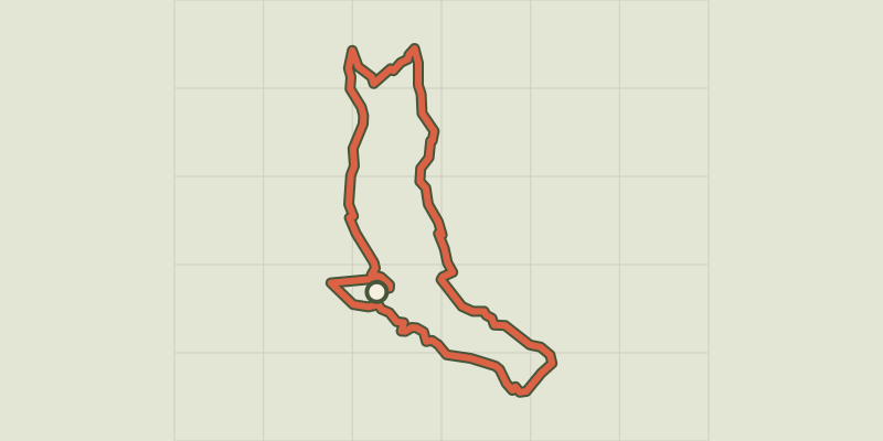 © OpenStreetMap, SRTM · OpenTopoMap (CC-BY-SA)
Exploring the hamlets of Vallouise and Pelvoux
Écrins, Vallouise-Pelvoux (05) · LoopOfficial rating by Parc national des Écrins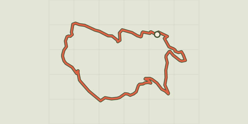
 © OpenStreetMap, SRTM · OpenTopoMap (CC-BY-SA)
Discovering Les Olliviers
Provence-Alpes-Côte d'Azur, Chorges (05) · LoopOfficial rating by Parc national des Écrins © OpenStreetMap, SRTM · OpenTopoMap (CC-BY-SA)
Abriès - Autour du Bric Bouchet
Queyras, Abriès-Ristolas (05) · LoopOfficial rating by Parcs naturels régionaux de Provence-Alpes-Côte d'Azur © OpenStreetMap, SRTM · OpenTopoMap (CC-BY-SA)
The Montette chapel
Queyras, Abriès-Ristolas (05) · LoopOfficial rating by Parcs naturels régionaux de Provence-Alpes-Côte d'Azur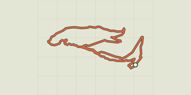
 © OpenStreetMap, SRTM · OpenTopoMap (CC-BY-SA)
The Tirail on mountain bike
Queyras, Abriès-Ristolas (05) · LoopOfficial rating by Parcs naturels régionaux de Provence-Alpes-Côte d'Azur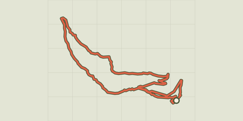 © OpenStreetMap, SRTM · OpenTopoMap (CC-BY-SA)
The Bertins on mountain bike
Queyras, Abriès-Ristolas (05) · LoopOfficial rating by Parcs naturels régionaux de Provence-Alpes-Côte d'Azur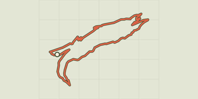 © OpenStreetMap, SRTM · OpenTopoMap (CC-BY-SA)
Marassan - la Bleue on mountain bike
Queyras, Aiguilles (05) · LoopOfficial rating by Parcs naturels régionaux de Provence-Alpes-Côte d'Azur © OpenStreetMap, SRTM · OpenTopoMap (CC-BY-SA)
Sentier de découverte des Fourmis - Aiguilles
Queyras, Aiguilles (05) · Out and backOfficial rating by Parcs naturels régionaux de Provence-Alpes-Côte d'Azur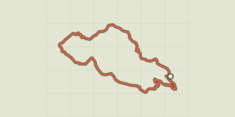
 © OpenStreetMap, SRTM · OpenTopoMap (CC-BY-SA)
Aiguilles de Chabrières
Écrins, Réallon (05) · LoopOfficial rating by Parc national des Écrins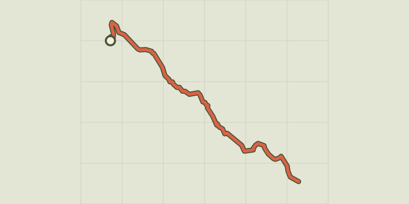 © OpenStreetMap, SRTM · OpenTopoMap (CC-BY-SA)
The Grand Margès
Verdon, Aiguines (83) · Out and backOfficial rating by Parcs naturels régionaux de Provence-Alpes-Côte d'Azur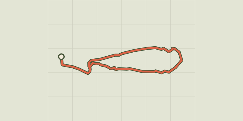 © OpenStreetMap, SRTM · OpenTopoMap (CC-BY-SA)
St. Mark's Chapel
Verdon, Allemagne-en-Provence (04) · LoopOfficial rating by Parcs naturels régionaux de Provence-Alpes-Côte d'Azur © OpenStreetMap, SRTM · OpenTopoMap (CC-BY-SA)
Allons - La crête des Serres
Verdon, Allons (04) · LoopOfficial rating by Parcs naturels régionaux de Provence-Alpes-Côte d'Azur © OpenStreetMap, SRTM · OpenTopoMap (CC-BY-SA)
Amirat - Col du trébuchet
Provence-Alpes-Côte d'Azur, Amirat (06) · LoopOfficial rating by Parcs naturels régionaux de Provence-Alpes-Côte d'Azur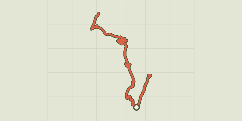 © OpenStreetMap, SRTM · OpenTopoMap (CC-BY-SA)
Ancien fort de la Lausette depuis Terre Rouge
Provence-Alpes-Côte d'Azur, Cervières (05) · Out and backOfficial rating by Parc national des Écrins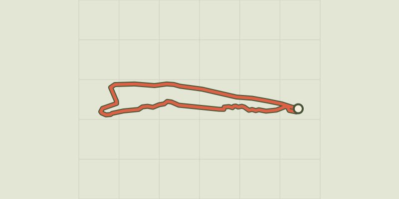 © OpenStreetMap, SRTM · OpenTopoMap (CC-BY-SA)
Andon - Plaine de Caille
Provence-Alpes-Côte d'Azur, Andon (06) · LoopOfficial rating by Parcs naturels régionaux de Provence-Alpes-Côte d'Azur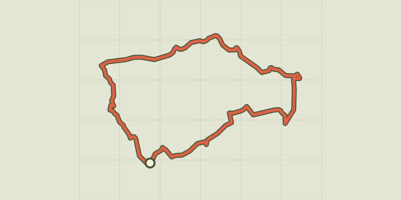 © OpenStreetMap, SRTM · OpenTopoMap (CC-BY-SA)
By bike, between local produce and olives
Luberon, Ansouis (84) · LoopOfficial rating by Parcs naturels régionaux de Provence-Alpes-Côte d'Azur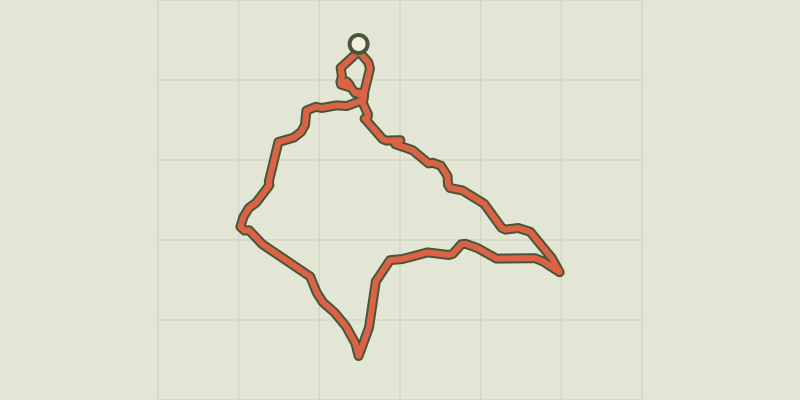 © OpenStreetMap, SRTM · OpenTopoMap (CC-BY-SA)
Landscapes of Ansouis
Luberon, Ansouis (84) · LoopOfficial rating by Parcs naturels régionaux de Provence-Alpes-Côte d'Azur © OpenStreetMap, SRTM · OpenTopoMap (CC-BY-SA)
Ansouis, between alleys and cobblestone streets
Luberon, Ansouis (84) · LoopOfficial rating by Parcs naturels régionaux de Provence-Alpes-Côte d'Azur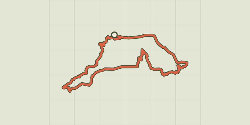 © OpenStreetMap, SRTM · OpenTopoMap (CC-BY-SA)
Apt - Le plateau des Claparèdes à vélo
Luberon, Apt (84) · LoopOfficial rating by Parcs naturels régionaux de Provence-Alpes-Côte d'Azur © OpenStreetMap, SRTM · OpenTopoMap (CC-BY-SA)
Apt - Les Ocres à vélo
Luberon, Apt (84) · LoopOfficial rating by Parcs naturels régionaux de Provence-Alpes-Côte d'Azur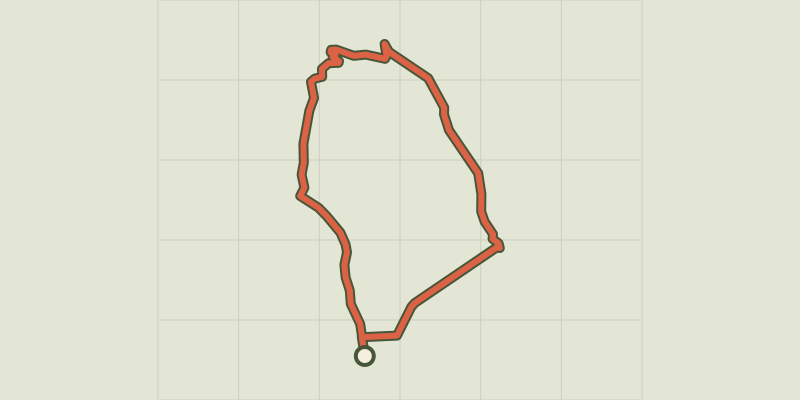 © OpenStreetMap, SRTM · OpenTopoMap (CC-BY-SA)
Apt - Petit tour de Rocsalière
Luberon, Saignon (84) · LoopOfficial rating by Parcs naturels régionaux de Provence-Alpes-Côte d'Azur © OpenStreetMap, SRTM · OpenTopoMap (CC-BY-SA)
Apt - ROUSSILLON - Épopée industrielle de l'ocre
Luberon, Apt (84) · Point to pointOfficial rating by Parcs naturels régionaux de Provence-Alpes-Côte d'Azur