
Around Lake Barrandon
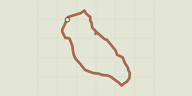
Key facts
- Distance
- 1.9 km
- Ascent
- +26 m
- Descent
- −19 m
- Estimated time
- 30 min
- hiking
- Difficulty
- Very easy
- official rating
- Route
- Loop
- back to the start
Profile and gradient
- under 10%
- 10 to 20%
- over 20%
Gradient along the route: 1.9 km under 10%. Elevation from 1,372 m to 1,387 m over 1.9 km.
Description
Anglers and hikers, would you like an hour or two of tranquillity in an exceptional natural landscape? Make an appointment with biodiversity ! Nestling at the foot of Mont Lozère, Lake Barrandon and its surroundings offer a mosaic of natural environments, from the very dry (on the steep slopes) to the wetter (by the crystal-clear waters). Leave the fishing zone to meander gently through the tranquil landscape around this timeless peat lake. From the path’s first post in the car park, follow the first section back up the track so as not to miss out on the viewpoint over the lake. The path then goes downhill and around the lake. From the sign “source cristalline [crystal-clear spring]” onwards, the path is dotted with markers. Remember you are responsible for the tranquillity of the site and its inhabitants.
Difficulty
Official rating: very easy, by Parc national des Cévennes.
Before you go
- For your safety and to preserve the site, you must stay on the laid-out path. Horse-riding and mountain-biking are not allowed because discovery trails are not adapted for them.
Getting there
Start: parking de l'étang de pêche, Saint-Étienne-du-Valdonnez (48).
Sources
- Track: Parc national des Cévennes, Licence Ouverte 1.0, Licence Ouverte 1.0 (Etalab) (destination.cevennes-parcnational.fr/trek/96935-Tour-de-l-etang-de-Barrandon). Time estimated by GPX Path with the Mac app rule, breaks not included.
- Official elevation gain: 26 m, Parc national des Cévennes
Nearby tracks

 © OpenStreetMap, SRTM · OpenTopoMap (CC-BY-SA)
The Bramont gorge
Cévennes, Saint-Étienne-du-Valdonnez (48) · LoopOfficial rating by Parc national des Cévennes © OpenStreetMap, SRTM · OpenTopoMap (CC-BY-SA)
A walk in Menhir Country
Cévennes, Saint-Étienne-du-Valdonnez (48) · LoopOfficial rating by Parc national des Cévennes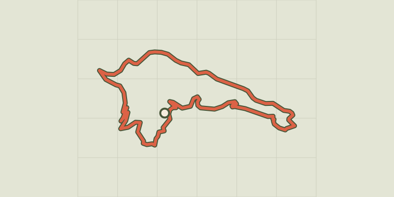 © OpenStreetMap, SRTM · OpenTopoMap (CC-BY-SA)
Lanuéjols
Cévennes, Lanuéjols (48) · LoopOfficial rating by Parc national des Cévennes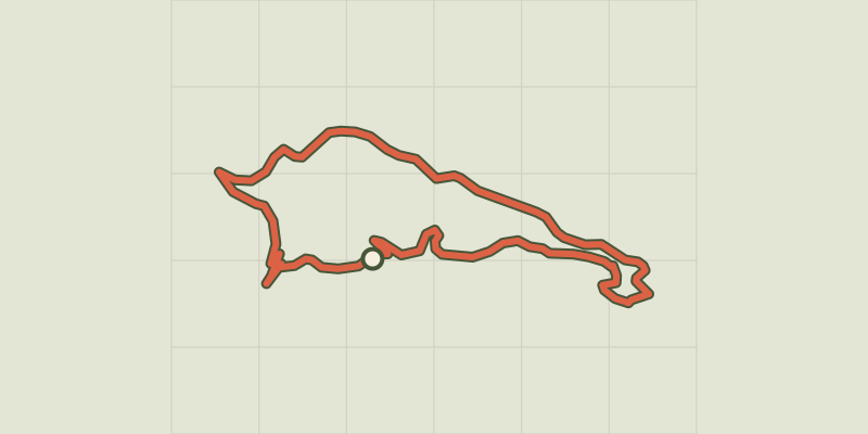 © OpenStreetMap, SRTM · OpenTopoMap (CC-BY-SA)
Causse du Masseguin
Cévennes, Lanuéjols (48) · LoopOfficial rating by Parc national des Cévennes © OpenStreetMap, SRTM · OpenTopoMap (CC-BY-SA)
Roc de la Gardette
Cévennes, Lanuéjols (48) · LoopOfficial rating by Parc national des Cévennes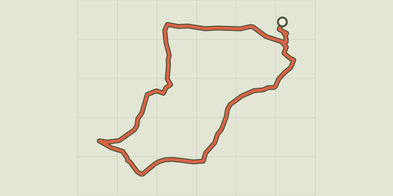 © OpenStreetMap, SRTM · OpenTopoMap (CC-BY-SA)
L'Oustal Crémat
Cévennes, Mont Lozère et Goulet (48) · LoopOfficial rating by Parc national des Cévennes