
A walk in Menhir Country

Key facts
- Distance
- 5.4 km
- Ascent
- +193 m
- Descent
- −186 m
- Estimated time
- 1 hr 35
- hiking
- Difficulty
- Very easy
- official rating
- Route
- Loop
- back to the start
Profile and gradient
- under 10%
- 10 to 20%
- over 20%
Gradient along the route: 4.5 km under 10% and 1.0 km at 10 to 20%. Elevation from 1,000 m to 1,177 m over 5.4 km.
Description
A walk that explores megalithism, one of the most mysterious phenomena of the late Neolithic. 5,000 years ago, groups of humans settled the Cham des Bondons plateau and marked the landscape by erecting megaliths (imposing stone monuments). With almost 200 standing stones identified so far, this site has one of the most important concentration of menhirs in France. The five-kilometre trail showcases some of the monuments and has panoramic views over the Causses plateaux. The path goes downhill on a wide draille (drovers' road) that has a superb viewpoint over the Causses plateaux, before gradually reaching the Chabusse plateau and the hamlet of Les Combettes. After a quick there-and-back within the hamlet itself (exhibition in a former oven building), you gently go uphill again in Les Cades valley, a Natura 2000 site, on a wide track that winds between pastures and pine forests.
Difficulty
Official rating: very easy, by Parc national des Cévennes.
Getting there
Start: Parking, Saint-Étienne-du-Valdonnez (48).
Sources
- Track: Parc national des Cévennes, Licence Ouverte 1.0, Licence Ouverte 1.0 (Etalab) (destination.cevennes-parcnational.fr/trek/38011-Balade-au-pays-des-menhirs). Time estimated by GPX Path with the Mac app rule, breaks not included.
- Official elevation gain: 193 m, Parc national des Cévennes
Nearby tracks

 © OpenStreetMap, SRTM · OpenTopoMap (CC-BY-SA)
Around Lake Barrandon
Cévennes, Saint-Étienne-du-Valdonnez (48) · LoopOfficial rating by Parc national des Cévennes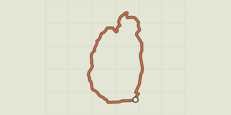 © OpenStreetMap, SRTM · OpenTopoMap (CC-BY-SA)
Causse de Sauveterre
Cévennes, Saint-Étienne-du-Valdonnez (48) · LoopOfficial rating by Parc national des Cévennes © OpenStreetMap, SRTM · OpenTopoMap (CC-BY-SA)
The Bramont gorge
Cévennes, Saint-Étienne-du-Valdonnez (48) · LoopOfficial rating by Parc national des Cévennes © OpenStreetMap, SRTM · OpenTopoMap (CC-BY-SA)
The two bridges
Cévennes, Ispagnac (48) · LoopOfficial rating by Parc national des Cévennes © OpenStreetMap, SRTM · OpenTopoMap (CC-BY-SA)
Rocher des Fées
Cévennes, Ispagnac (48) · LoopOfficial rating by Parc national des Cévennes © OpenStreetMap, SRTM · OpenTopoMap (CC-BY-SA)
From Ispagnac to the mediaeval village of Sainte-Enimie.
Cévennes, Ispagnac (48) · Point to pointOfficial rating by Parc national des Cévennes