
Col de La Planette

Key facts
- Distance
- 6.8 km
- Ascent
- +298 m
- Descent
- −234 m
- Estimated time
- 2 hr
- hiking
- Difficulty
- Easy
- official rating
- Route
- Loop
- back to the start
Profile and gradient
- under 10%
- 10 to 20%
- over 20%
Gradient along the route: 4.6 km under 10% and 2.2 km at 10 to 20%. Elevation from 812 m to 1,037 m over 6.8 km.
Description
A forest atmosphere, a birdsong and the murmur of a brook accompany you throughout this walk exploring the mythical mountain ranges of the Cevennes. You will see the Signal du Ventalon beacon, Bougès, Fontmort and, on clear days, even the summit of Mont Aigoual! Leave the car park, turn left and go up the lane leading towards Currières (C3), to the Col de la Planette pass. Continue on the lane for 50 m before taking on your left a forestry track towards the Col de Poulio. At this pass, leave the lane to take the track going downhill on the left (GR 72). Turn left again onto an old path that joins up with the tarred lane, which you take downhill back to the car park.
Difficulty
Official rating: easy, by Parc national des Cévennes.
Before you go
- Make sure your equipment is appropriate for the day's weather conditions. Remember that the weather changes quickly in the mountains. Take enough water, wear good shoes and put on a hat.
Getting there
Start: Cassagnas, Cassagnas (48).
Sources
- Track: Parc national des Cévennes, Licence Ouverte 1.0, Licence Ouverte 1.0 (Etalab) (destination.cevennes-parcnational.fr/trek/40301-Col-de-la-Planette). Time estimated by GPX Path with the Mac app rule, breaks not included.
- Official elevation gain: 298 m, Parc national des Cévennes
Nearby tracks
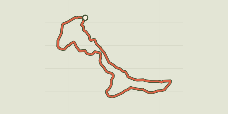
 © OpenStreetMap, SRTM · OpenTopoMap (CC-BY-SA)
Col des Abeilles
Cévennes, Saint-André-de-Lancize (48) · LoopOfficial rating by Parc national des Cévennes © OpenStreetMap, SRTM · OpenTopoMap (CC-BY-SA)
La Flandonenque
Cévennes, Saint-Germain-de-Calberte (48) · LoopOfficial rating by Parc national des Cévennes © OpenStreetMap, SRTM · OpenTopoMap (CC-BY-SA)
The Rocks of Galta
Cévennes, Saint-Germain-de-Calberte (48) · LoopOfficial rating by Parc national des Cévennes © OpenStreetMap, SRTM · OpenTopoMap (CC-BY-SA)
Béal des Abrits
Cévennes, Saint-Martin-de-Lansuscle (48) · LoopOfficial rating by Parc national des Cévennes © OpenStreetMap, SRTM · OpenTopoMap (CC-BY-SA)
Grisou the Mule
Cévennes, Saint-André-de-Lancize (48) · LoopOfficial rating by Parc national des Cévennes © OpenStreetMap, SRTM · OpenTopoMap (CC-BY-SA)
Castelviel
Cévennes, Saint-Martin-de-Lansuscle (48) · LoopOfficial rating by Parc national des Cévennes