
Col de Salidès
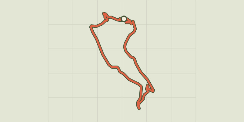
Key facts
- Distance
- 10.3 km
- Ascent
- +415 m
- Descent
- −311 m
- Estimated time
- 3 hr
- hiking
- Difficulty
- Moderate
- official rating
- Route
- Loop
- back to the start
Profile and gradient
- under 10%
- 10 to 20%
- over 20%
Gradient along the route: 8.0 km under 10%, 2.1 km at 10 to 20% and 0.3 km over 20%. Elevation from 836 m to 1,144 m over 10.3 km.
Description
Explore some emblematic landscapes of the National Park; old beech forests and large open spaces, still maintained by transhumant livestock. At the Col de Salidès pass, you can admire magnificent panoramic views onto the Can de L'Hospitalet plateau, the Cévennes and Mont Aigoual. Take the road towards Rousses for 90 m, then go downhill on the left on a path that leads to the foresters’ house of Le Marquairès. 1) From the foresters’ house, take the track on the left that goes uphill in the Tarnon valley to reach the D 19 road at Gaseiral bridge. 2) Turn left onto the D 19 and climb to the Col de Salidès pass. 3) At the pass, follow the track (drovers’ road) on the left for about 2.8 km. Caution; livestock and patous (guard dogs)! 4) At the crossroads, take the track on the left to reach the road and starting-point.
Difficulty
Official rating: moderate, by Parc national des Cévennes.
Before you go
- Caution: transhumant livestock and patous (guard dogs) on the drovers’ road at Col de Salidès pass. Seek advice on how to behave near these dogs from tourist offices and National Park information centres.
- Make sure your equipment is appropriate for the day’s weather conditions. Remember that the weather changes quickly in the mountains. Take enough water, wear sturdy shoes and put on a hat. Please close all gates and barriers behind you.
Getting there
Start: Tunnel du Marquairès (D 907 Rousses), Bassurels (48).
Sources
- Track: Parc national des Cévennes, Licence Ouverte 1.0, Licence Ouverte 1.0 (Etalab) (destination.cevennes-parcnational.fr/trek/42487-Col-de-Salides). Time estimated by GPX Path with the Mac app rule, breaks not included.
- Official elevation gain: 415 m, Parc national des Cévennes
Nearby tracks

 © OpenStreetMap, SRTM · OpenTopoMap (CC-BY-SA)
D’une vallée à l’autre, entre Gardon et Tarnon
Cévennes, Rousses (48) · Point to pointOfficial rating by Parc national des Cévennes © OpenStreetMap, SRTM · OpenTopoMap (CC-BY-SA)
Massevaques
Cévennes, Rousses (48) · LoopOfficial rating by Parc national des Cévennes © OpenStreetMap, SRTM · OpenTopoMap (CC-BY-SA)
Pont Marès
Cévennes, Saint-André-de-Valborgne (30) · LoopOfficial rating by Parc national des Cévennes © OpenStreetMap, SRTM · OpenTopoMap (CC-BY-SA)
Saint-Flour valley
Cévennes, Le Pompidou (48) · LoopOfficial rating by Parc national des Cévennes © OpenStreetMap, SRTM · OpenTopoMap (CC-BY-SA)
Bézuc
Cévennes, Le Pompidou (48) · LoopOfficial rating by Parc national des Cévennes © OpenStreetMap, SRTM · OpenTopoMap (CC-BY-SA)
The corniches de l’Hospitalet
Cévennes, Vebron (48) · LoopOfficial rating by Parc national des Cévennes