
Pont Marès

Key facts
- Distance
- 9.3 km
- Ascent
- +579 m
- Descent
- −515 m
- Estimated time
- 3 hr 15
- hiking
- Difficulty
- Moderate
- official rating
- Route
- Loop
- back to the start
Profile and gradient
- under 10%
- 10 to 20%
- over 20%
Gradient along the route: 4.7 km under 10%, 4.0 km at 10 to 20% and 0.7 km over 20%. Elevation from 514 m to 1,010 m over 9.3 km.
Description
The upper Vallée Borgne, northeast of Mont Aigoual, is less well-known than other Cévennes valleys. It is just as attractive, but wilder, with magnificent panoramic views. As you climb up to the Col de Salidès pass, you will discover a landscape and sites full of history: the Château de l'Hon (early 15th c.), whose lord was assassinated in 1826, and in the distance the Château du Poujol (14th c.) that overlooks the valley from its rocky outcrop. Imagine the atmosphere in the hamlet of Les Salidès, where the widow Verdier used to organise festive evenings at her inn. Signposts and yellow waymarks will guide you all along this route. In the description below, the signposted place names and/or directions are given in bold italics between quotation marks: From the starting-point, walk towards "Col de Salidès" along the D 10a for about 600 m. Take the path on the left that goes downhill to the River Gardon, which is crossed by a stone bridge. Continue on the path under the chestnut trees to the foot of Château de l’Hon. Take the track that runs alongside the château on the right towards the hamlet of Les Salidès. Go through the hamlet and turn left onto the road for about 800 m. NB. The track you want to take is on the right in a hairpin bend. Continue uphill to the junction with the D 907, rejoin the track opposite and continue to the Col de Salidès. At the pass, take the forestry track on the left towards "St André de Valborgne" via "Réserve de l'Hon" 200 m after you enter the forest, at "Réserve de l'Hon", head towards "Pont Marès" on a path on the left that goes straight downhill into the chestnut forest. Join up with a track, turn right onto it and walk to the D 907. Turn right onto the road and go downhill on the left to the hamlet of Les Ginestoux. Go through the hamlet and keep heading downhill to Le Merlus. Return to Pont Marès via the pretty little bridge.
Difficulty
Official rating: moderate, by Parc national des Cévennes.
Before you go
- Caution! The climb to the Col de Salidès pass is also a downhill mountain-biking route. Before committing yourself to a circuit, ensure that it is suitable for your activity level and ability. Remember that the weather changes quickly in the mountains. Take enough water. Please close all gates and barriers behind you.
- Caution: patous (livestock guard dogs) at the Col de Salidès! Seek advice on how to behave near these dogs from tourist offices and National Park information centres.
Getting there
Start: Pont Marès, St-André de Valborgne, Saint-André-de-Valborgne (30).
Sources
- Track: Parc national des Cévennes, Licence Ouverte 1.0, Licence Ouverte 1.0 (Etalab) (destination.cevennes-parcnational.fr/trek/44890-Le-Pont-Mares). Time estimated by GPX Path with the Mac app rule, breaks not included.
- Official elevation gain: 579 m, Parc national des Cévennes
Nearby tracks

 © OpenStreetMap, SRTM · OpenTopoMap (CC-BY-SA)
Saint-Flour valley
Cévennes, Le Pompidou (48) · LoopOfficial rating by Parc national des Cévennes © OpenStreetMap, SRTM · OpenTopoMap (CC-BY-SA)
Bézuc
Cévennes, Le Pompidou (48) · LoopOfficial rating by Parc national des Cévennes © OpenStreetMap, SRTM · OpenTopoMap (CC-BY-SA)
Le Col Salidès par Saint-André de Valborgne
Cévennes, Saint-André-de-Valborgne (30) · LoopOfficial rating by Parc national des Cévennes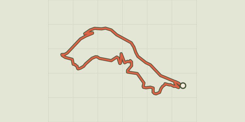 © OpenStreetMap, SRTM · OpenTopoMap (CC-BY-SA)
La Fare
Cévennes, Saint-André-de-Valborgne (30) · LoopOfficial rating by Parc national des Cévennes © OpenStreetMap, SRTM · OpenTopoMap (CC-BY-SA)
On Fageas ridge, 4 days
Cévennes, Saint-André-de-Valborgne (30) · Point to pointOfficial rating by Parc national des Cévennes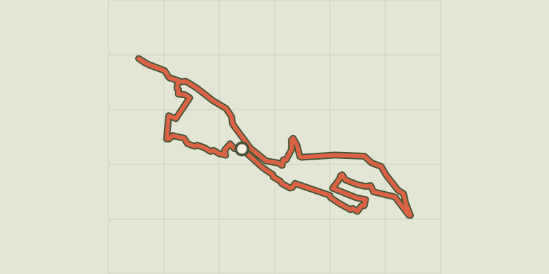 © OpenStreetMap, SRTM · OpenTopoMap (CC-BY-SA)
Saint-André de Valborgne
Cévennes, Saint-André-de-Valborgne (30) · LoopOfficial rating by Parc national des Cévennes