
Coudoulous trail

Key facts
- Distance
- 2.3 km
- Ascent
- +84 m
- Descent
- −50 m
- Estimated time
- 35 min
- hiking
- Difficulty
- Very easy
- official rating
- Route
- Loop
- back to the start
Profile and gradient
- under 10%
- 10 to 20%
- over 20%
Gradient along the route: 1.9 km under 10% and 0.4 km at 10 to 20%. Elevation from 715 m to 760 m over 2.3 km.
Description
This trail gives you access to panoramic viewpoints on its mountain ridges, as you follow in the footsteps of the men and women who left their imprint on the schist. The Coudoulous trail offers magnificent panoramic views onto the Longue and Cézarenque valleys from the mountain ridges, which seem uninhabited by mankind. And yet, in places the schist is worn, carved, cut or worked. Here, you follow a rutted track; there, you decipher mysterious carvings; elsewhere, you can guess at the ruins of a mediaeval castle. Around the corner from the trail, the landscape yields up its secret history in the steps of the humans who shaped it. A few clarifications: • As you leave the car park, turn right and continue on the road for 150 metres, then go left towards Mas de la Tourette / La Borie. • Take the path that goes uphill on the right. Be careful, some sections are slippery. • At the road, continue left to the hamlet. Then take the path on the right. • At the junction of paths, continue right. • Turn right towards the castle (there-and-back). • Return to the car park on the path.
Difficulty
Official rating: very easy, by Parc national des Cévennes.
Before you go
- In rainy weather, the schist can be slippery. It is dangerous to leave the waymarked path. Climbing onto walls weakens them and furthers their destruction. The rutted track and the inscriptions are protected historical monuments; they are fragile. Please leave them intact!
Getting there
Start: Parking, Chamborigaud (30).
Sources
- Track: Parc national des Cévennes, Licence Ouverte 1.0, Licence Ouverte 1.0 (Etalab) (destination.cevennes-parcnational.fr/trek/37959-Sentier-de-Coudoulous). Time estimated by GPX Path with the Mac app rule, breaks not included.
- Official elevation gain: 84 m, Parc national des Cévennes
Nearby tracks

 © OpenStreetMap, SRTM · OpenTopoMap (CC-BY-SA)
Tras Lou Serre
Cévennes, Ventalon en Cévennes (48) · LoopOfficial rating by Parc national des Cévennes © OpenStreetMap, SRTM · OpenTopoMap (CC-BY-SA)
Pic de La Tourette
Cévennes, Chamborigaud (30) · LoopOfficial rating by Parc national des Cévennes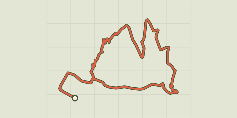 © OpenStreetMap, SRTM · OpenTopoMap (CC-BY-SA)
The bridges
Cévennes, Chamborigaud (30) · LoopOfficial rating by Parc national des Cévennes © OpenStreetMap, SRTM · OpenTopoMap (CC-BY-SA)
Old Collet walk
Cévennes, Le Collet-de-Dèze (48) · LoopOfficial rating by Parc national des Cévennes © OpenStreetMap, SRTM · OpenTopoMap (CC-BY-SA)
Tignac, entre châtaigniers et pins
Cévennes, Le Collet-de-Dèze (48) · LoopOfficial rating by Parc national des Cévennes © OpenStreetMap, SRTM · OpenTopoMap (CC-BY-SA)
L'Espinas
Cévennes, Ventalon en Cévennes (48) · LoopOfficial rating by Parc national des Cévennes