
Old Collet walk

Key facts
- Distance
- 2.0 km
- Ascent
- +39 m
- Descent
- −23 m
- Estimated time
- 30 min
- hiking
- Difficulty
- Very easy
- official rating
- Route
- Loop
- back to the start
Profile and gradient
- under 10%
- 10 to 20%
- over 20%
Gradient along the route: 2.0 km under 10%. Elevation from 293 m to 316 m over 2.0 km.
Description
The walk takes you to the centre of the old village using the former Royal road, which was once the only track from Chamborigaud to Saint German-de-Calberte. This is a walk through the historical heart of Le Collet-de-Dèze with its old Cevenol houses, to the temple (Protestant church) built in 1646 and the top of the Puech de la Sabaterie hill. The village of Le Collet-de-Dèze is located on a strategic communication route linking the Cévennes with the coast. It has been shaped throughout its existence by floods, so-called Cevenol episodes, and also bears witness to the history and memory of the Camisard War. This walk has eleven numbered information panels.
Difficulty
Official rating: very easy, by Parc national des Cévennes.
Getting there
Start: En face de l'office de tourisme, Le Collet-de-Dèze (48).
Sources
- Track: Parc national des Cévennes, Licence Ouverte 1.0, Licence Ouverte 1.0 (Etalab) (destination.cevennes-parcnational.fr/trek/38003-Sentier-du-vieux-Collet). Time estimated by GPX Path with the Mac app rule, breaks not included.
- Official elevation gain: 39 m, Parc national des Cévennes
Nearby tracks

 © OpenStreetMap, SRTM · OpenTopoMap (CC-BY-SA)
Tignac, entre châtaigniers et pins
Cévennes, Le Collet-de-Dèze (48) · LoopOfficial rating by Parc national des Cévennes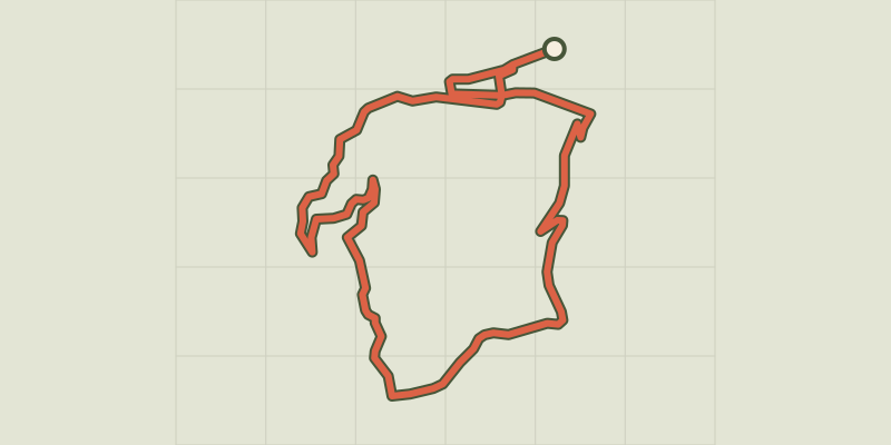 © OpenStreetMap, SRTM · OpenTopoMap (CC-BY-SA)
Les roches
Cévennes, Saint-Michel-de-Dèze (48) · LoopOfficial rating by Parc national des Cévennes © OpenStreetMap, SRTM · OpenTopoMap (CC-BY-SA)
Le Gardonnet
Cévennes, Saint-Hilaire-de-Lavit (48) · LoopOfficial rating by Parc national des Cévennes © OpenStreetMap, SRTM · OpenTopoMap (CC-BY-SA)
Coudoulous trail
Cévennes, Chamborigaud (30) · LoopOfficial rating by Parc national des Cévennes © OpenStreetMap, SRTM · OpenTopoMap (CC-BY-SA)
Tras Lou Serre
Cévennes, Ventalon en Cévennes (48) · LoopOfficial rating by Parc national des Cévennes © OpenStreetMap, SRTM · OpenTopoMap (CC-BY-SA)
Les Luminières
Cévennes, Sainte-Cécile-d'Andorge (30) · LoopOfficial rating by Parc national des Cévennes